-
 Buckingha Comitatus, in quo olim insederunt Cattieuchlani, 1637Christopher Saxton & William HoleSeries: LondonChristopher Saxton & William Hole, Buckingha Comitatus, in quo olim insederunt Cattieuchlani, 1637£ 395.00
 -
Jan Blaeu, Buckinghamshire, 1650 c.£ 525.00
-
Richard Blome, A Mapp of Buckinghamshire, 1673£ 245.00
-
Herman Moll, Buckingham Shire, 1724£ 345.00
-
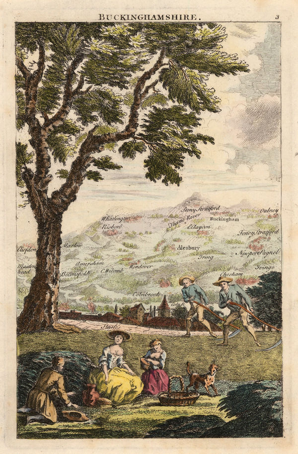
Emanuel Bowen & Thomas Kitchin, An Accurate Map of Buckinghamshire, 1756£ 795.00
-
George Bickham, Buckinghamshire, 1796£ 175.00
-
John Cary, A New Map of Buckinghamshire, 1801£ 325.00
-
John Cary, Map of Buckinghamshire from the Best Authorities, 1805£ 175.00
-
Andrew Bryant, Map of the County of Buckingham from actual Survey, 1825£ 3,500.00
-
James Gardner, First Edition O.S. Map of Bicester and Environs, 1833 c.£ 195.00
-
Christopher & John Greenwood, Map of the County of Buckingham, 1834£ 595.00
-
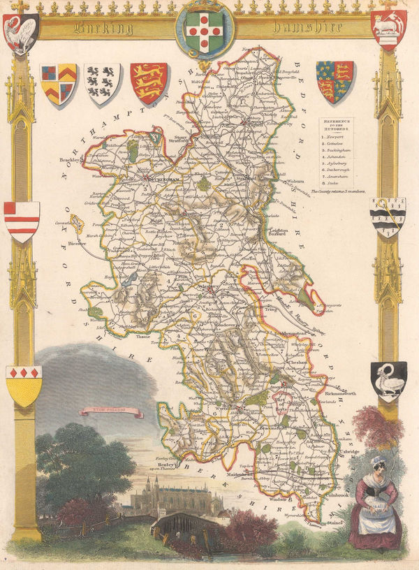
Thomas Moule, Buckinghamshire, 1840 c.£ 110.00
-
Samuel Lewis, Buckinghamshire, 1848£ 68.00
-
Henry George Collins, Buckinghamshire, 1850 c.£ 86.00
-
J.F. Bennet, Bennet's Map of the River Thames from Oxford to Gravesend, 1910 c.£ 1,350.00
-
Ordnance Survey, Watford and High Wycombe, 1912 c.£ 115.00
Buckinghamshire
Our entire inventory of over 10,000 antique and vintage maps is now available to browse by region, date, cartographer, and subject