-
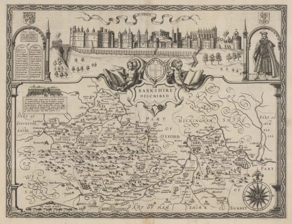
 John Speed, Barkshire Described, 1611£ 2,250.00
 -
 John Speed, Barkshire Described, 1616£ 2,750.00
 -
 Christopher Saxton & William Hole, Bercherie, 1637£ 495.00
 -
 Christopher Saxton & William Hole, Comitatus Bercheriae vulgo Barkshyre, 1637£ 495.00
 -
 Christopher Saxton & William Hole, Comitatus Bercheriae vulgo Barkshyre, 1637£ 725.00
 -
 Willem & Jan Blaeu, Bercheria Vernacule Bark Shire, 1650 c.£ 775.00
 -
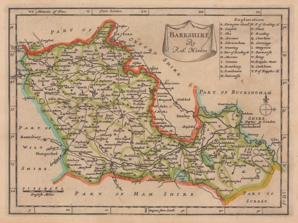
 Robert Morden, Bark Shire, 1695£ 445.00
 -
 Robert Morden, Barkshire, 1708£ 245.00
 -
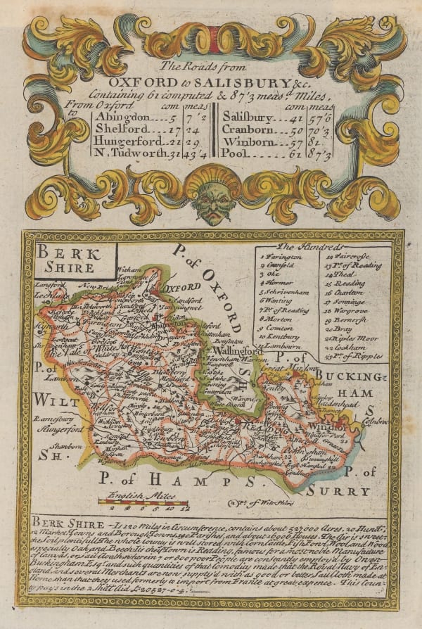
 Emanuel Bowen & John Owen, The Roads from Oxford to Salisbury, 1720£ 115.00
 -
 Herman Moll, Berk Shire, 1724£ 345.00
 -
 John Seller, Berkshire, 1787£ 95.00
 -
 John Cary, A New Map of Berkshire, 1801£ 425.00
 -
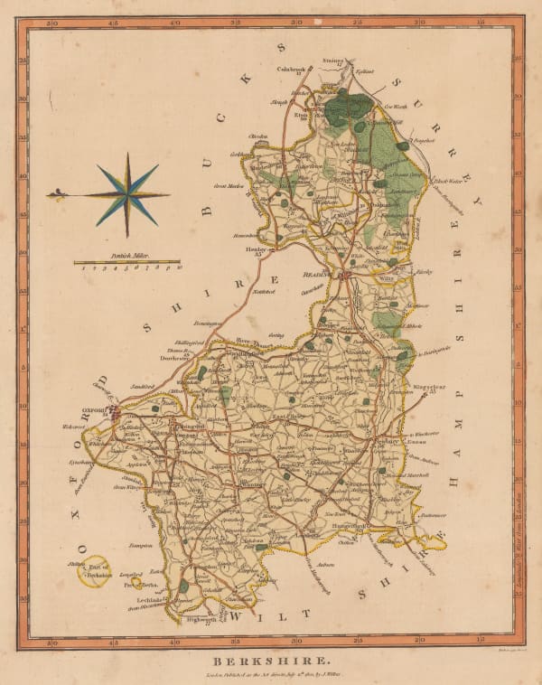
 John Wilkes, Berkshire, 1801£ 78.00
 -
 Cole & Roper, Berkshire, 1804£ 88.00
 -
 John Cary, A Map of Berkshire, 1805£ 375.00
 -
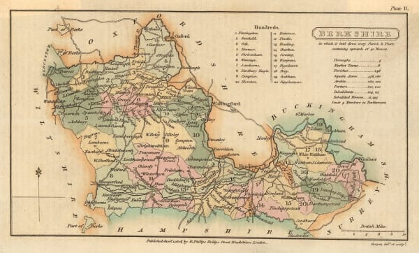
 Richard Phillips, Berkshire, 1808£ 40.00
 -
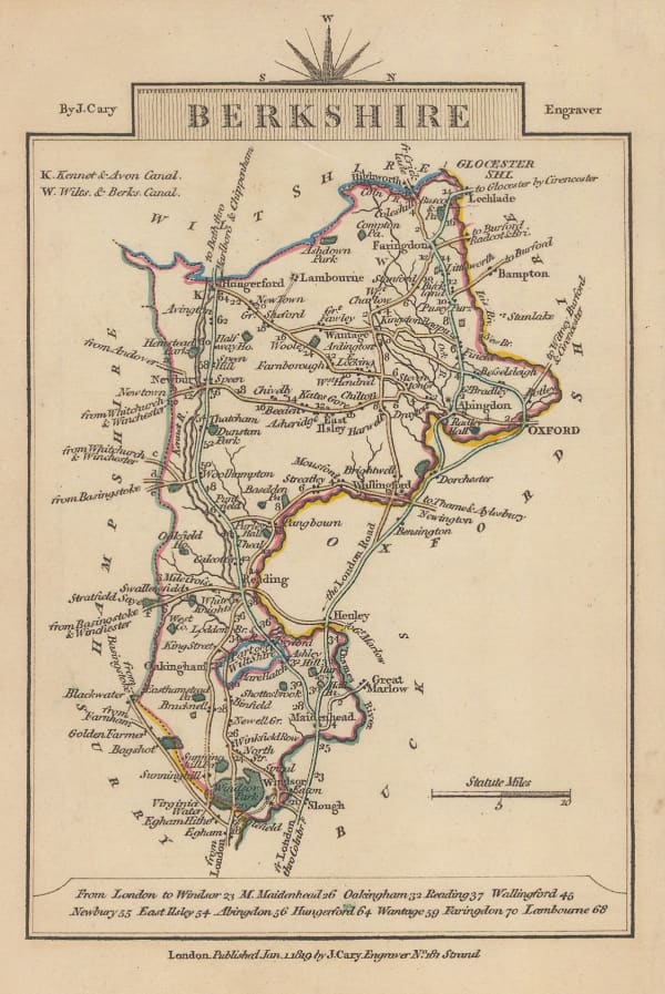
 John Cary, Berkshire, 1809£ 155.00
 -
 John Cary, Berkshire, 1810£ 55.00
 -
 Samuel John Neele, Reading, 1814£ 125.00
 -
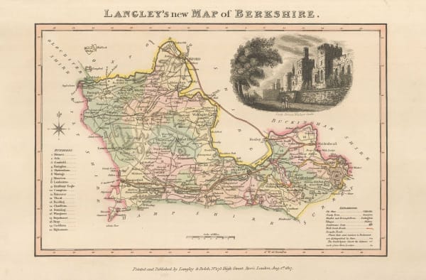
 Langley & Belch, Langley's New Map of Berkshire, 1817£ 125.00
 -
 Christopher & John Greenwood, Map of the County of Berks., 1829£ 650.00
 -
 James Pigot, Berkshire, 1840£ 185.00
 -
 Thomas Moule, Berk Shire, 1840 c.£ 125.00
 -
 Hansard, Eton - Frogmore Estate, 1845£ 295.00
 -
 Samuel Lewis, Berkshire, 1848£ 45.00
 -
 Edward Weller, Berkshire, 1863£ 35.00
 -
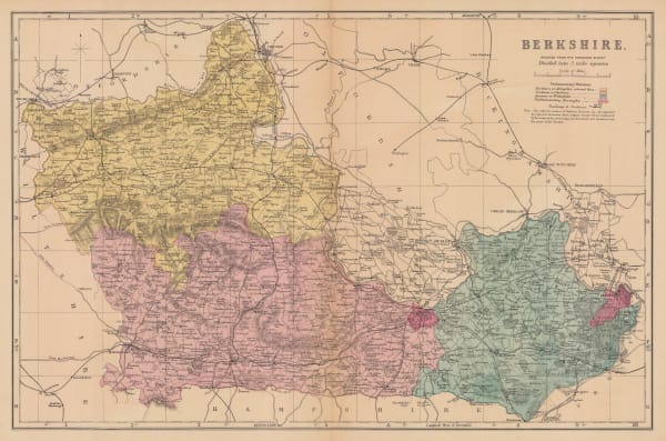
 George W. Bacon, Berkshire, 1886£ 50.00
 -
 George W. Bacon, Berkshire, 1895£ 32.00
 -
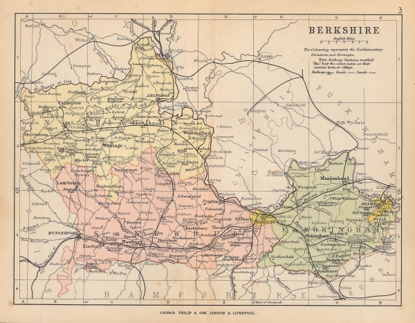
 George Philip & Son Ltd., The County of Berkshire, 1895£ 22.00
 -
 Ordnance Survey, Windsor and Ascot, 1900£ 1,200.00
 -
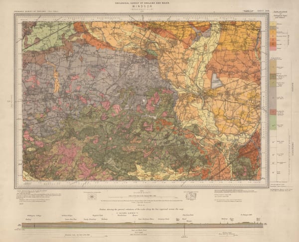
 Ordnance Survey, Geological Survey of England and Wales, 1904£ 150.00
 -
 J.F. Bennet, Bennet's Map of the River Thames from Oxford to Gravesend, 1910 c.£ 1,350.00
 -
 MacMillan & Co, Plan of Eton College, 1911£ 95.00
 -
 Ordnance Survey, Watford and High Wycombe, 1912 c.£ 115.00
 -
 Ordnance Survey, Geological Survey of England and Wales, 1920£ 150.00
 -
 John Bartholomew & Son, The Thames to Windsor, 1929£ 55.00
Berkshire
Our entire inventory of over 10,000 antique and vintage maps is now available to browse by region, date, cartographer, and subject

