-
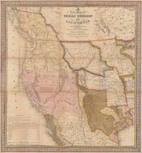
 Map of an Exploring Expedition to the Rocky Mountains in the Year 1842 and to Oregon & North California in the Years 1845-44, 1845John C. FremontSeries: Washington, D.C.John C. Fremont, Map of an Exploring Expedition to the Rocky Mountains in the Year 1842 and to Oregon & North California in the Years 1845-44, 1845£ 3,950.00
 -
-
-
Ferdinand Hayden, Map of the Shoshone Geysers, 1870 c.£ 395.00
-
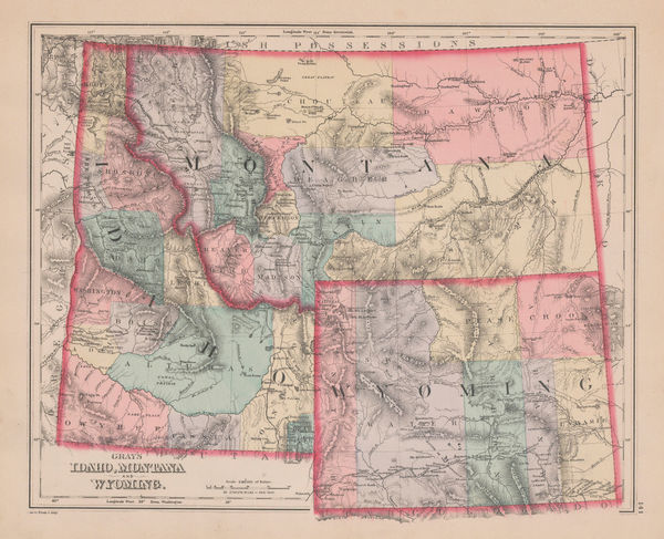
O.W. Gray & Son, Idaho, Montana and Wyoming, 1881£ 295.00
-
Philetus W. Norris, Map of the Yellowstone National Park, 1881£ 725.00
-
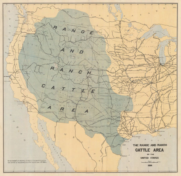
Julius Bien, The Range and Ranch Cattle Area of the United-States, 1884£ 1,650.00
-
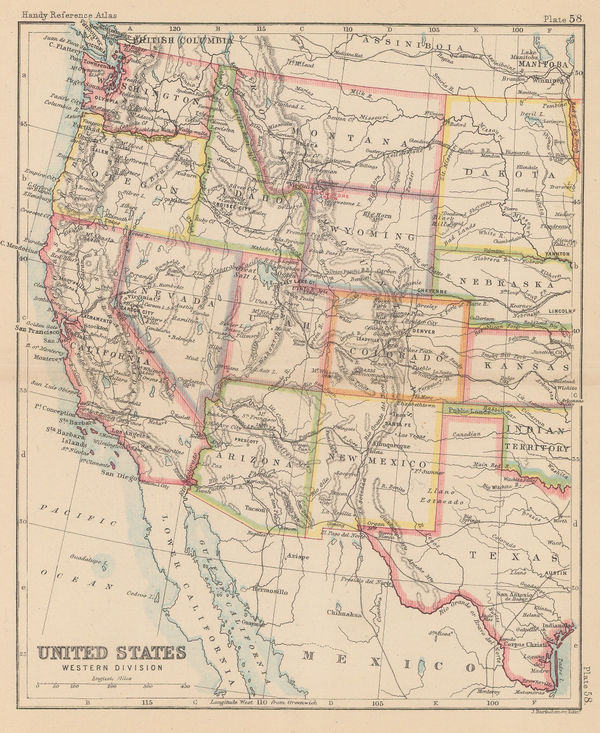
John Bartholomew, United States Western Division, 1887£ 62.00
-
Arbuckle Brothers Company, Wyoming, 1889£ 98.00
-
Perry Mason & Co., Wyoming, 1891£ 145.00
-
Karl Baedeker, Wyoming, 1909£ 48.00
-
Rand, McNally & Co., Wyoming, 1911£ 245.00
-
Elmer & Berta Hader, Colorado and Wyoming, 1932£ 95.00
-
Chris King, Jackson Hole Picture Map, 1986£ 950.00
Wyoming
Our entire inventory of over 10,000 antique and vintage maps is now available to browse by region, date, cartographer, and subject