-
 William James, Map of Maj. Gen. Ross's route, with the British Column, from Benedict, on the Patuxent River, to the City of Washington, August 1814, 1818£ 885.00
 -
 Daniel & William Lizars, Plan of the City of Washington and Territory of Columbia, 1820 c.£ 1,850.00
 -
 Carey & Lea, Geographical, Statistical, and Historical Map of the District of Columbia, 1823£ 1,750.00
 -
 Joseph Meyer, Street plan of Washington D. C., 1845£ 745.00
 -
 Samuel Augustus Mitchell, City of Washington, 1847 c.£ 495.00
 -
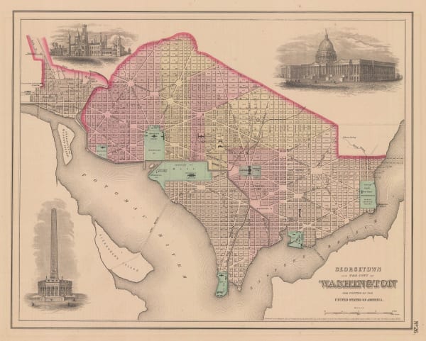
 Joseph Hutchins Colton, Georgetown and the City of Washington, 1855£ 445.00
 -
 Joseph Hutchins Colton, Maryland, Delaware & Washington, D.C., 1861£ 275.00
 -
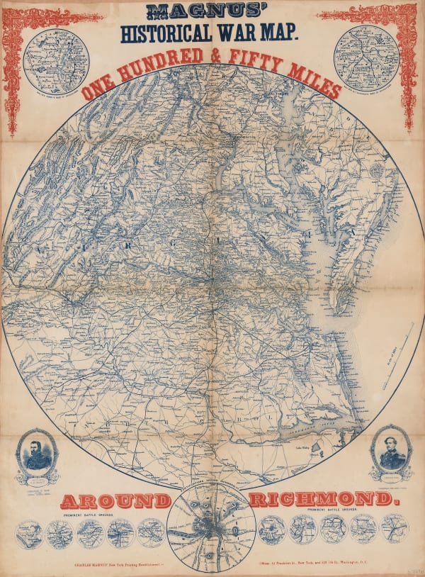
 Charles Magnus, Magnus' Historical War Map - One Hundred & Fifty Miles Around Richmond, 1864£ 1,250.00
 -
 Johnson & Ward, Georgetown and the City of Washington, 1865£ 385.00
 -
 Spanish Admiralty, Spanish Admiralty chart of the Chesapeake Bay, 1871£ 1,450.00
 -
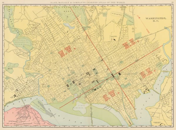
 Rand, McNally & Co., Washington, 1895£ 495.00
 -
 Karl Baedeker, Washington, 1909£ 185.00
 -
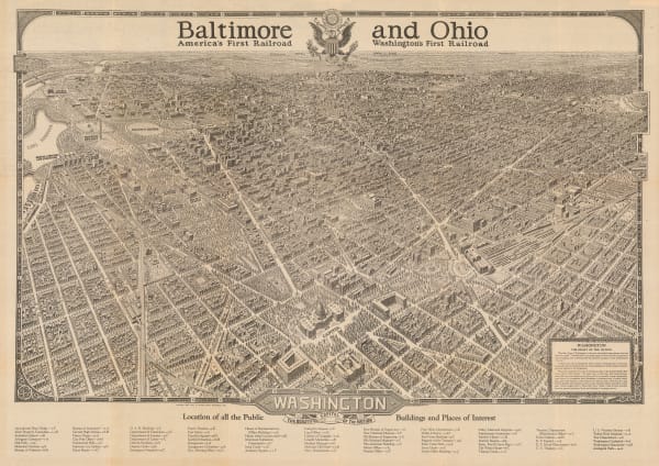
 William Olsen, Washington - The Beautiful Capital of the Nation, 1923£ 1,450.00
Close
Search Inventory
Our entire inventory of over 10,000 antique and vintage maps is now available to browse by region, date, cartographer, and subject
Join our mailing list
* denotes required fields
We will process the personal data you have supplied to communicate with you in accordance with our Privacy Policy. You can unsubscribe or change your preferences at any time by clicking the link in our emails.


