-
 Jodocus Hondius, Southeast coast of the United States, 1619£ 2,250.00
 -
Mercator Hondius, North and South Carolina, Virginia and Georgia, 1621£ 925.00
-
Willem & Jan Blaeu, Southern Virginia, North and South Carolina and Georgia, 1650 c.£ 1,950.00
-
Jan Jansson, South-eastern coast of USA , 1666£ 1,950.00
-
John Ogilby, Georgia & the Carolinas, 1670 c.£ 1,750.00
-
John Speed, North and South Carolina, 1676£ 3,950.00
-
Robert Morden, North and South Carolina, 1688£ 875.00
-
Pierre Duval, Virginia, Maryland, North and South Carolina, 1694£ 825.00
-
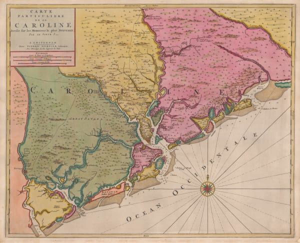
Pierre Mortier, Uncommon map of North and South Carolina, 1700£ 3,200.00
-
-
Pieter van der Aa, Southern USA from Virginia to Florida, 1707£ 895.00
-
Pieter van der Aa, Virginia, North and South Carolina and northern Florida, 1714£ 1,950.00
-
Johann Baptist Homann, Virginia, Maryland and Carolina, 1714 c.£ 3,250.00
-
Herman Moll, Carolina, 1720 c.£ 795.00
-
Herman Moll, A Map of the Province of Carolina divided into its Parishes &c., 1730£ 1,750.00
-
Herman Moll, A Plan of Port Royal Harbour in Carolina, 1755 c.£ 395.00
-
Jacques-Nicolas Bellin, Georgia and North and South Carolina, 1757£ 675.00
-
Jacques-Nicolas Bellin, Coastal chart from Cape Fear to St. Augustine, 1760 c.£ 345.00
-
Jacques-Nicolas Bellin, Charleston, 1764£ 1,250.00
-
London Magazine, A New Map of North & South Carolina, & Georgia, 1765£ 595.00
-
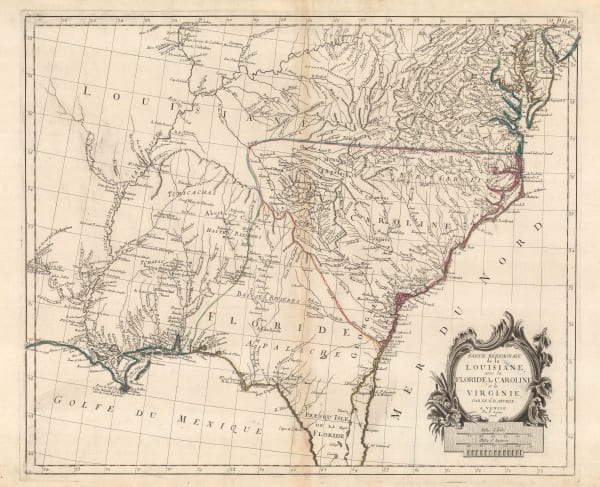
Francois Santini, Louisiana, Florida and the Carolinas, 1776£ 985.00
-
Georges-Louis Le Rouge, Chart of North and South Carolina coast, 1777£ 3,850.00
-
Antoine de Sartine, Chart of the coast from New Jersey to Georgia, 1778£ 3,950.00
-
John Bew, A New and Accurate Map of the Chief Parts of South Carolina and Georgia, 1780£ 1,450.00
-
Rigobert Bonne, North and South Carolina and Georgia, 1780 c.£ 395.00
-
Joseph Purcell, A Map of the States of Virginia, North Carolina, South Carolina and Georgia, 1788£ 1,925.00
-
David Ramsay, Plan of the Siege of Charleston, 1789£ 695.00
-
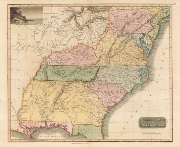
Laurie & Whittle, A New and General Map of the Southern Dominions Belonging to The United States of America, 1794£ 3,500.00
-
John Reid, The State of South Carolina from the Best Authorities, 1796£ 1,750.00
-
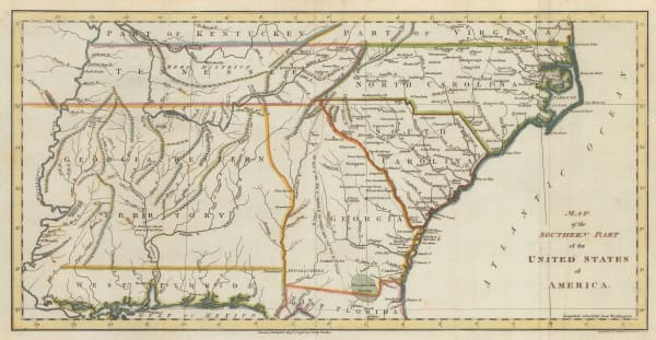
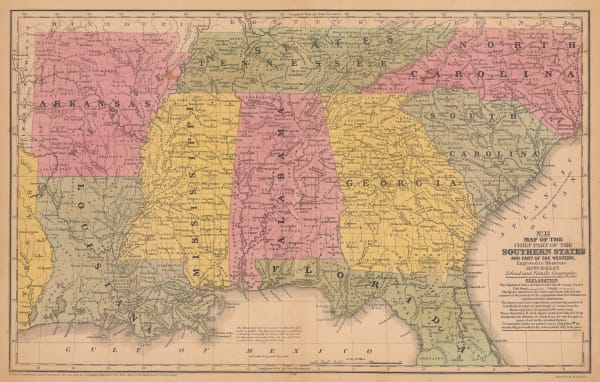
Abraham Bradley, Map of the Southern United States of America, 1797£ 850.00
-
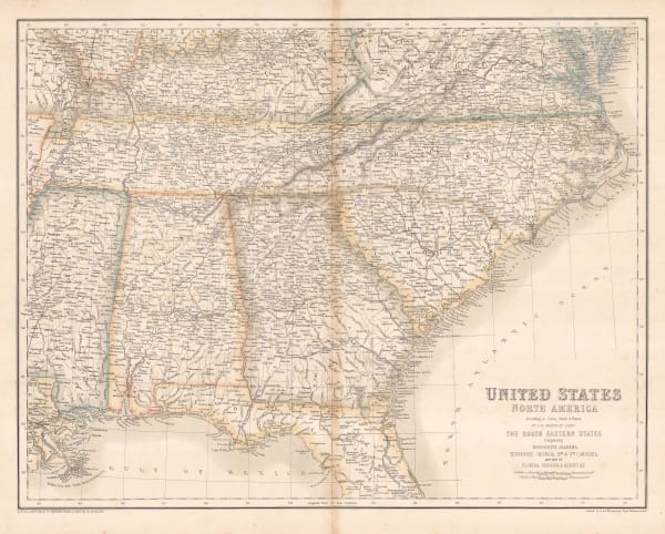
John Russell, Map of the Southern Part of the United States of America, 1798£ 745.00
-
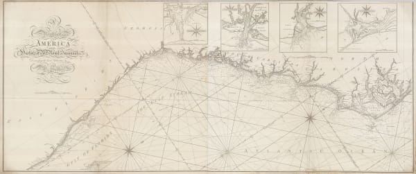
William Heather, Chart of the East coast from the Outer Banks of North Carolina to Fort Lauderdale, 1799£ 4,250.00
-
Tardieu, North and South Carolina and Virginia, 1800£ 825.00
-
John Pinkerton, South-eastern United States, 1809£ 1,350.00
-
John Thomson, Eastern United States, 1817£ 1,250.00
-
John Cary, South-eastern United States, 1825£ 1,675.00
-
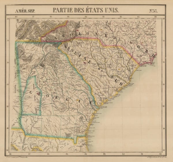
Philippe Vandermaelen, North and South Caroline and Georgia, 1827£ 725.00
-
Samuel Augustus Mitchell, Southeastern United States, 1839£ 145.00
-
E. & G.W. Blunt, Charleston Harbour, 1847£ 225.00
-
Samuel Augustus Mitchell, A New Map of South Carolina, 1849£ 475.00
-
Alexander Dallas Bache, Port Royal Entrance, 1859£ 125.00
-
Joseph Hutchins Colton, South Carolina, 1861£ 345.00
-
Joseph Hutchins Colton, Savannah and Charleston, 1861£ 375.00
-
Archibald Fullarton, Southeast United States, 1870 c.£ 78.00
-
A. Simon, Charleston (1887), 1887£ 365.00
-
Arbuckle Brothers Company, South Carolina, 1889£ 155.00
-
Perry Mason & Co., South Carolina, 1891£ 130.00
-
George Cram, North & South Carolina, 1897£ 225.00
-
George Cram, North and South Carolina, 1897£ 225.00
-
British Admiralty, Cape Fear to Sapelo Sound, 1898£ 2,500.00
-
W. & A.K. Johnston, United States (S.E.), 1908£ 125.00
-
Karl Baedeker, Charleston, 1909£ 78.00
-
British Admiralty, North America East Coast - Delaware Bay to Florida Strait, 1942£ 950.00
Close
Search Inventory
Our entire inventory of over 10,000 antique and vintage maps is now available to browse by region, date, cartographer, and subject


Join our mailing list
* denotes required fields
We will process the personal data you have supplied to communicate with you in accordance with our Privacy Policy. You can unsubscribe or change your preferences at any time by clicking the link in our emails.
![]()
Join our mailing list
* denotes required fields
We will process the personal data you have supplied to communicate with you in accordance with our Privacy Policy. You can unsubscribe or change your preferences at any time by clicking the link in our emails.