-
 William Faden, Southwest USA and Mexico, 1819£ 245.00
 -
 Henry Teesdale, Southwestern USA and Mexico, 1835 c.£ 545.00
 -
 Society for the Diffusion of Useful Knowledge (SDUK), Southwestern United States and Northern Mexico, 1842£ 625.00
 -

-

-
 John Tallis, Mexico, California and Texas, 1851£ 825.00
 -
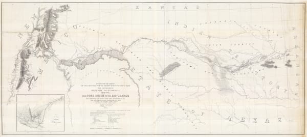
 United States Pacific Railroad Expeditions (USPRR), From Fort Smith to the Rio Grande, 1855£ 1,150.00
 -
 General Land Office, Sketch of Public Surveys in New Mexico, 1861£ 895.00
 -
 Capt. John Navarre Macomb, Map of Explorations and Surveys in New Mexico and Utah, 1864£ 2,750.00
 -
 Royal Geographical Society (RGS), Map of the South-Western Portion of the United States, 1870£ 375.00
 -
 Alvin J. Johnson, Western States of the USA, 1870 c£ 645.00
 -
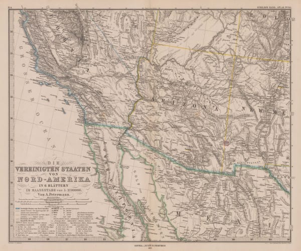
 Justus Perthes, Southern California and Nevada, Arizona and western New Mexico, 1877£ 245.00
 -
 Samuel Augustus Mitchell, County and Township Map of Arizona and New Mexico, 1880£ 225.00
 -
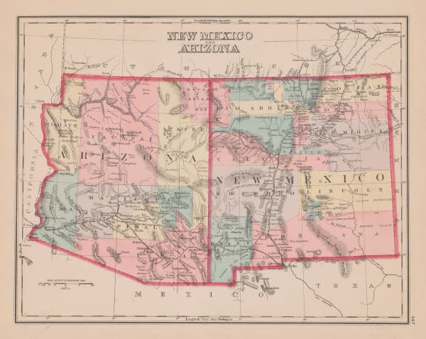
 O.W. Gray & Son, New Mexico and Arizona, 1881£ 275.00
 -
 Julius Bien, The Range and Ranch Cattle Area of the United-States, 1884£ 1,650.00
 -
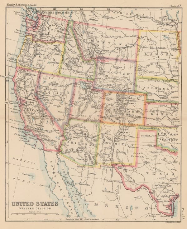
 John Bartholomew, United States Western Division, 1887£ 62.00
 -
 G. & J. Bartholomew, Western States, 1887£ 52.00
 -
 G.W. & C.B. Colton & Co., Atchison, Topeka and Santa Fe Railroad System, 1889£ 595.00
 -
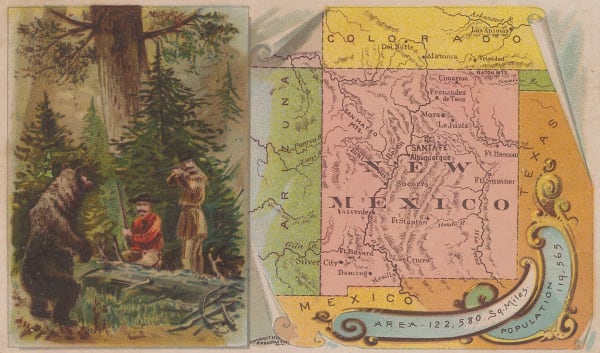
 Arbuckle Brothers Company, New Mexico, 1889£ 165.00
 -
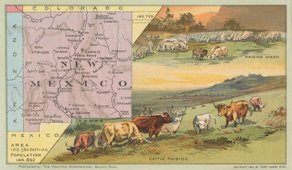
 Perry Mason & Co., New Mexico, 1891£ 180.00
 -
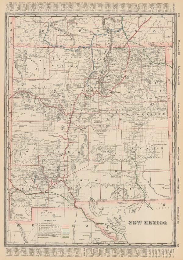
 George Cram, New Mexico, 1897£ 395.00
 -
 Weyss, Map of the United States and Texas Boundary and adjacent Territory, 1902£ 775.00
 -
![Old Mill Cigarettes, [New Mexico], 1910](data:image/gif;base64,R0lGODlhAQABAIAAAAAAAP///yH5BAEAAAAALAAAAAABAAEAAAIBRAA7) Old Mill Cigarettes, [New Mexico], 1910£ 75.00
Old Mill Cigarettes, [New Mexico], 1910£ 75.00 -
 F.E. Gallup, Map of the Central-Southern Oil Fields, 1920£ 3,450.00
 -
 Rand, McNally & Co., New Commercial Atlas Map of New Mexico, 1920 c.£ 295.00
 -
 Fred Harvey, Illustrated Map of the Great Southwest, 1946£ 395.00
 -
 Dore Ogrizek, New Mexico, 1946£ 95.00
Close
Search Inventory
Our entire inventory of over 10,000 antique and vintage maps is now available to browse by region, date, cartographer, and subject
Join our mailing list
* denotes required fields
We will process the personal data you have supplied to communicate with you in accordance with our Privacy Policy. You can unsubscribe or change your preferences at any time by clicking the link in our emails.










![Old Mill Cigarettes, [New Mexico], 1910](https://artlogic-res.cloudinary.com/w_600,c_limit,f_auto,fl_lossy,q_auto/artlogicstorage/themaphouse/images/view/9182d82c7c077ee10aef250e19d3016bj/themaphouse-old-mill-cigarettes-new-mexico-1910.jpg)


