-
 Mercator Hondius, Chesapeake Bay, Virginia and Maryland,, 1630£ 925.00
 -
 Willem & Jan Blaeu, Nova Virginiae Tabvla, 1635£ 4,950.00
 -
 John Ogilby, Chesapeake Bay, Virginia and Maryland, 1670 c.£ 3,250.00
 -

-

-
 Robert Morden, New Jersey and Pennsylvania, 1688£ 885.00
 -
 Robert Morden, Rare map of the Chesapeake Bay, 1688£ 1,150.00
 -
 Pierre Duval, Virginia, Maryland, North and South Carolina, 1694£ 825.00
 -
 Valk & Schenk, New England and Virginia, 1710 c.£ 2,300.00
 -
 Pieter van der Aa, Virginia and Chesapeake Bay, 1714£ 2,250.00
 -
 Johann Baptist Homann, Virginia, Maryland and Carolina, 1714 c.£ 3,250.00
 -
 Herman Moll, Chesapeake Bay, Virginia and Maryland, 1739£ 1,850.00
 -
 Matthaus Seutter, Early map of Pennsylvania, New York and New Jersey, 1745 c.£ 3,450.00
 -
 Robert de Vaugondy, Virginia, Maryland & Delaware, 1755£ 4,950.00
 -

-
 London Magazine, A Map of Maryland with the Delaware Counties and the Southern Part of New Jersey, 1757£ 625.00
 -
 Robert de Vaugondy, Virginia, Maryland & Delaware, 1776 c£ 4,500.00
 -
 Tardieu, North and South Carolina and Virginia, 1800£ 825.00
 -
 Matthew Carey, Maryland, 1805£ 445.00
 -
 Edmund Blunt, The Bay of Chesapeake from its Entrance to Baltimore, 1815£ 495.00
 -
 Carey & Lea, Geographical, Statistical, and Historical Map of Maryland, 1823£ 1,850.00
 -
 Geographisches Institut Weimar, Geographical, Statistical, and Historical Map of Maryland, 1826£ 385.00
 -
 Philippe Vandermaelen, Cape Cod to Chesapeake Bay, 1827£ 350.00
 -
 Samuel Augustus Mitchell, A New Map of Maryland and Delaware, 1846£ 395.00
 -
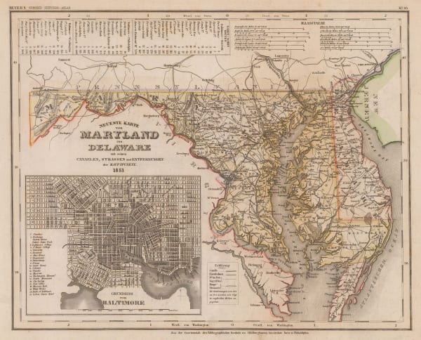
 Joseph Meyer, Neueste Karte von Maryland und Delaware, 1846£ 285.00
 -
 Joseph Hutchins Colton, Maryland, Delaware & Washington, D.C., 1861£ 275.00
 -
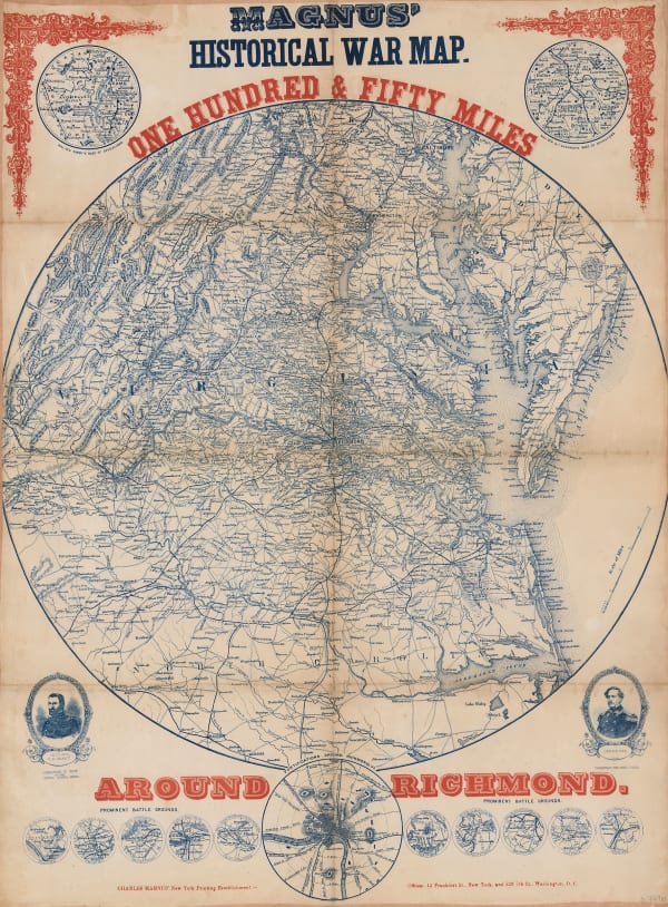
 Charles Magnus, Magnus' Historical War Map - One Hundred & Fifty Miles Around Richmond, 1864£ 1,250.00
 -
 Spanish Admiralty, Spanish Admiralty chart of the Chesapeake Bay, 1871£ 1,450.00
 -
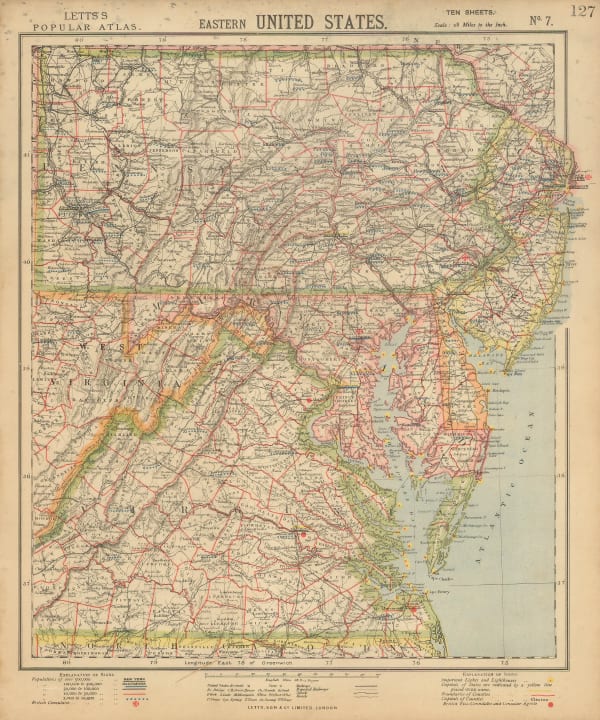
 Letts & Son, Eastern United States, 1883£ 68.00
 -
 Arbuckle Brothers Company, Maryland, 1889£ 135.00
 -
 Perry Mason & Co., Maryland, 1891£ 150.00
 -
 George Cram, Maryland and Delaware, 1897£ 295.00
 -
 Karl Baedeker, Baltimore, 1909£ 72.00
Close
Search Inventory
Our entire inventory of over 10,000 antique and vintage maps is now available to browse by region, date, cartographer, and subject
Join our mailing list
* denotes required fields
We will process the personal data you have supplied to communicate with you in accordance with our Privacy Policy. You can unsubscribe or change your preferences at any time by clicking the link in our emails.


