-
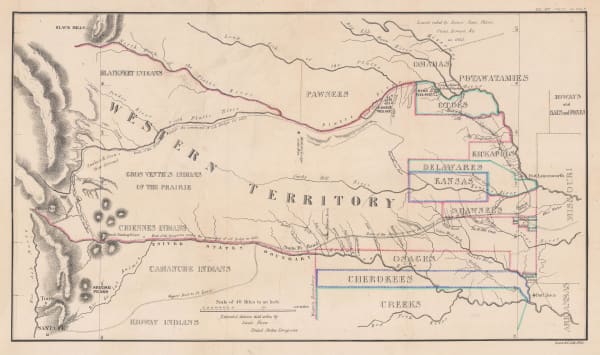
 Enoch Steen, Dodge's Expedition through Kansas & Colorado, 1836£ 950.00
 -
 Washington Hood, Map - Illustrating the plan of the defences of the Western & North-Western Frontier, 1837£ 625.00
 -
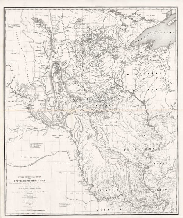
 Joseph Nicolas Nicollet, Hydrographical Basin of the Upper Mississippi River, 1843£ 3,450.00
 -
 John C. Fremont, Map of an Exploring Expedition to the Rocky Mountains in the Year 1842 and to Oregon & North California in the Years 1845-44, 1845£ 3,950.00
 -
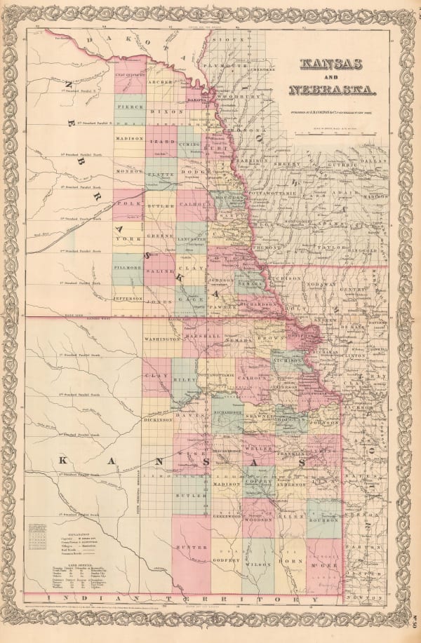
 George Woolworth Colton, Kansas and Nebraska, 1857 c.£ 185.00
 -
 Washington Hood, Map Illustrating the plan of the defences of the Western & North Western Frontier, 1861£ 525.00
 -
 Roswell C. Smith, Kansas, Nebraska, Minnesota, Indian Territory, Dacotah, 1861£ 645.00
 -
 General Land Office, Map showing the progress of the Surveys in Kansas and Nebraska, 1866£ 595.00
 -
 Justus Perthes, Die Hauptsaechlichsten Gebiete Der Indianer Mission in den Verein Staaten, 1871£ 125.00
 -
 G.W. & C.B. Colton & Co., Atchison, Topeka and Santa Fe Railroad System, 1889£ 595.00
 -
 Arbuckle Brothers Company, Kansas, 1889£ 125.00
 -
 General Land Office, State of Kansas, 1891£ 750.00
 -
 Perry Mason & Co., Kansas, 1891£ 125.00
 -
 George Philip & Son Ltd., United States - Central Division, 1896£ 36.00
 -
 George Cram, Kansas, 1897£ 195.00
 -
 Rand, McNally & Co., New Commercial Atlas Map of Kansas, 1914£ 295.00
 -
 F.E. Gallup, Map of the Central-Southern Oil Fields, 1920£ 3,450.00
Close
Search Inventory
Our entire inventory of over 10,000 antique and vintage maps is now available to browse by region, date, cartographer, and subject
Join our mailing list
* denotes required fields
We will process the personal data you have supplied to communicate with you in accordance with our Privacy Policy. You can unsubscribe or change your preferences at any time by clicking the link in our emails.


