-
 Homann Heirs, Important German rendition of Bellin's seminal map of the Great Lakes, 1755£ 3,650.00
 -
 Andrea Scacciati, Carta rappresentante i cinque Laghi del Canada, 1763£ 675.00
 -
 Rigobert Bonne, Great Lakes, 1780 c£ 495.00
 -
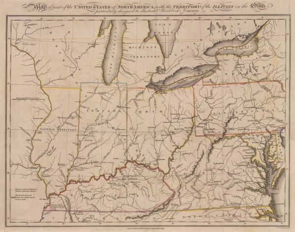
 Morris Birkbeck, Early map of Ohio, Indiana and the Territory of Illinois, 1818£ 1,250.00
 -
 Carey & Lea, Geographical, Statistical and Historical map of Indiana, 1822£ 1,150.00
 -
 Jean Buchon, Geographical, Statistical and Historical map of Indiana, 1825£ 125.00
 -
 Philippe Vandermaelen, Indiana, Kentucky, Ohio and West Virginia, 1827£ 550.00
 -
 Map of the States of Indiana and Ohio with Part of Michigan Territory, 1832I.T. HintonSeries: LondonI.T. Hinton, Map of the States of Indiana and Ohio with Part of Michigan Territory, 1832£ 295.00
 -
 Society for the Diffusion of Useful Knowledge (SDUK), North America - Sheet IX, Parts of Missouri, Illinois and Indiana, 1833£ 85.00
 -
 Samuel Augustus Mitchell, Midwestern United States, 1839£ 185.00
 -
 Samuel Augustus Mitchell, A New Map of Indiana, 1846£ 275.00
 -
 Johnson & Browning, Johnson's Ohio and Indiana, 1861£ 195.00
 -
 Joseph Hutchins Colton, Indiana, 1861£ 225.00
 -
 Johnson & Ward, Indiana, 1864£ 195.00
 -
 Archibald Fullarton, United States - The North Central Section, 1870 c.£ 75.00
 -
 Frank Arnold Gray, Indiana, 1878 c.£ 140.00
 -
 Samuel Augustus Mitchell, County & Township Map of the States of Ohio and Indiana, 1882£ 140.00
 -
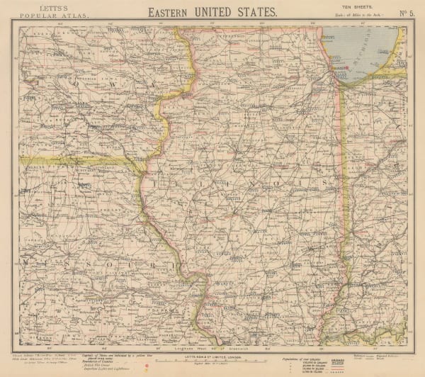
 Letts & Son, Illinois with parts of Iowa, Missouri and Indianan, 1882£ 75.00
 -
![Arbuckle Brothers Company, [Indiana], 1889](data:image/gif;base64,R0lGODlhAQABAIAAAAAAAP///yH5BAEAAAAALAAAAAABAAEAAAIBRAA7) Arbuckle Brothers Company, [Indiana], 1889£ 85.00
Arbuckle Brothers Company, [Indiana], 1889£ 85.00 -
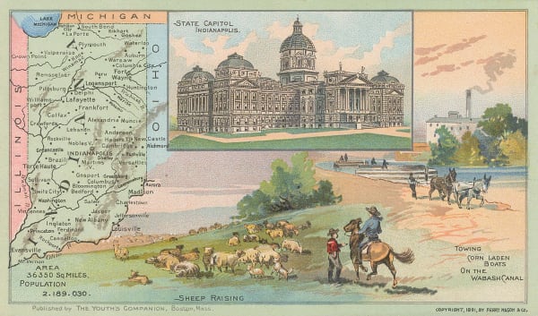
 Perry Mason & Co., Indiana, 1891£ 95.00
 -
 George Cram, Indiana, 1897£ 185.00
 -
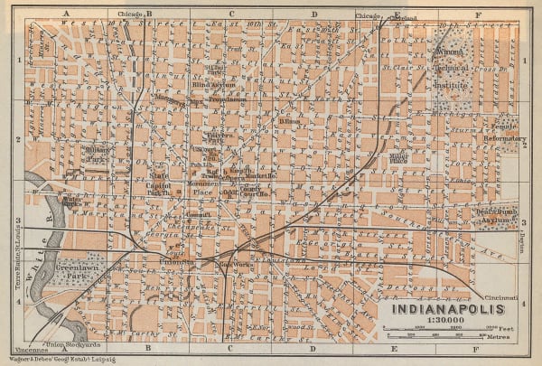
 Karl Baedeker, Indianapolis, 1909£ 44.00
 -
 Dore Ogrizek, Indiana, 1946£ 55.00
Close
Search Inventory
Our entire inventory of over 10,000 antique and vintage maps is now available to browse by region, date, cartographer, and subject
Join our mailing list
* denotes required fields
We will process the personal data you have supplied to communicate with you in accordance with our Privacy Policy. You can unsubscribe or change your preferences at any time by clicking the link in our emails.


![Arbuckle Brothers Company, [Indiana], 1889](https://artlogic-res.cloudinary.com/w_600,c_limit,f_auto,fl_lossy,q_auto/artlogicstorage/themaphouse/images/view/17e11fe399a207a6192514624b5af25aj/themaphouse-arbuckle-brothers-company-indiana-1889.jpg)


