-
 Capt. James Cook, Hawaii, 1785£ 1,850.00
 -
 Thomas Conder, Captain Cook's Map of Hawaii , 1790 c.£ 945.00
 -
 Royal Geographical Society (RGS), Hawaiian Islands, 1868£ 545.00
 -
 Arbuckle Brothers Company, Hawaii, 1889£ 350.00
 -
 United States Geological Survey (USGS), Drainage Map of the Island of Hawaii, 1890 c.£ 375.00
 -
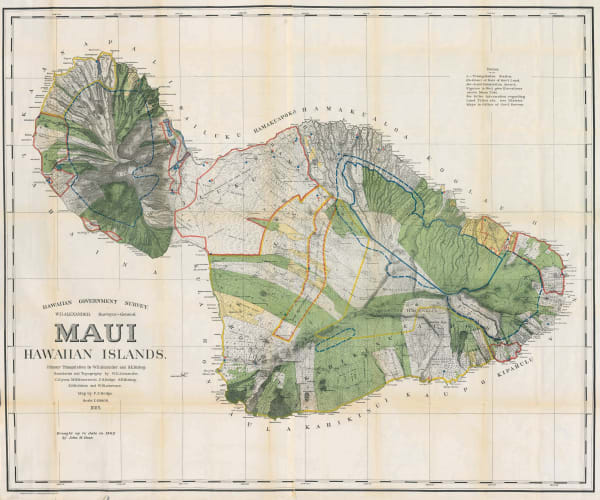
 Hawaiian Government Survey, Maui - Hawaiian Islands, 1903£ 3,450.00
 -
 General Land Office, Map of the Territory of Hawaii, 1905£ 885.00
 -
 Hawaiian Government Survey, Oahu - Hawaiian Islands, 1906£ 4,450.00
 -
 Marcel Couttreau & H. le Chartier, Hawaii, 1911£ 92.00
 -
 Parker Edwards, Hawaiian Islands, 1937£ 850.00
 -
 Hawaiian Pineapple Co., Dole Map of Hawaii, 1950£ 985.00
 -
 British Admiralty, Southern Part of Oahu, 1961£ 325.00
 -
 British Admiralty, Hawaiian or Sandwich Islands, 1962£ 445.00
Close
Search Inventory
Our entire inventory of over 10,000 antique and vintage maps is now available to browse by region, date, cartographer, and subject
Join our mailing list
* denotes required fields
We will process the personal data you have supplied to communicate with you in accordance with our Privacy Policy. You can unsubscribe or change your preferences at any time by clicking the link in our emails.


