-

-
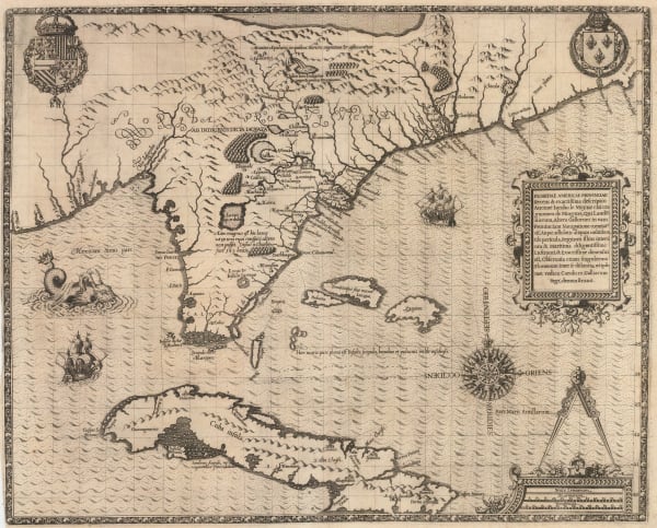
 Alain Manesson Mallet, Floride, 1683£ 695.00
 -
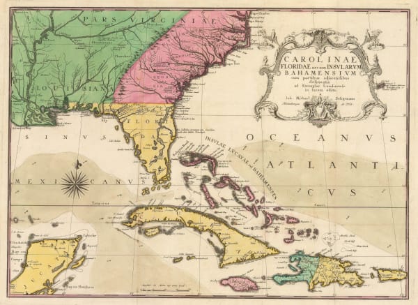
 Johann Ulrich Muller, Florida, 1692£ 595.00
 -

-
 Gazettiere Americano, St. Augustine, 1763£ 785.00
 -
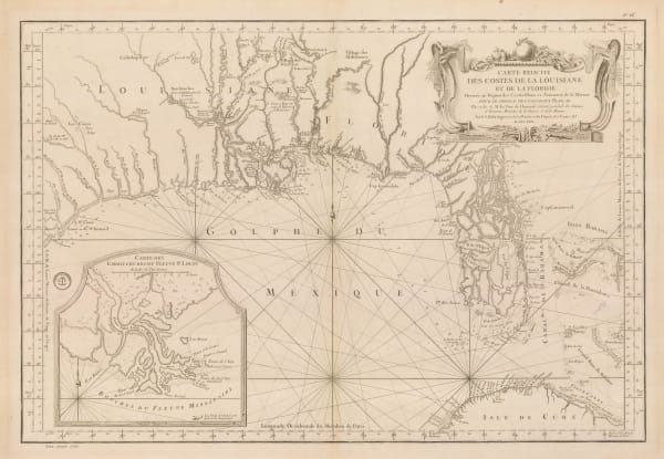
 Jacques-Nicolas Bellin, Florida and Louisiana coast, 1764£ 4,950.00
 -
 Jacques-Nicolas Bellin, The Gulf coast of Florida and Alabama, 1764£ 450.00
 -
 Jacques-Nicolas Bellin, St Augustine Port, Florida, 1764£ 395.00
 -
 Jacques-Nicolas Bellin, Pensacola, Florida, 1764£ 495.00
 -
 Gentleman's Magazine, Coastal chart from the Mississippi to Pensacola Bay, 1772£ 495.00
 -
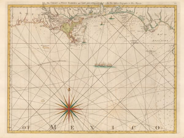
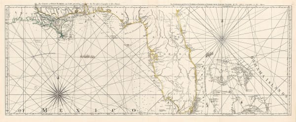
 Thomas Jefferys, The Coast of West Florida and Louisiana, 1775£ 1,250.00
 -
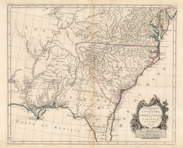
 Francois Santini, Louisiana, Florida and the Carolinas, 1776£ 985.00
 -
 Sayer & Bennett, Amelia Island, 1776£ 1,800.00
 -

-
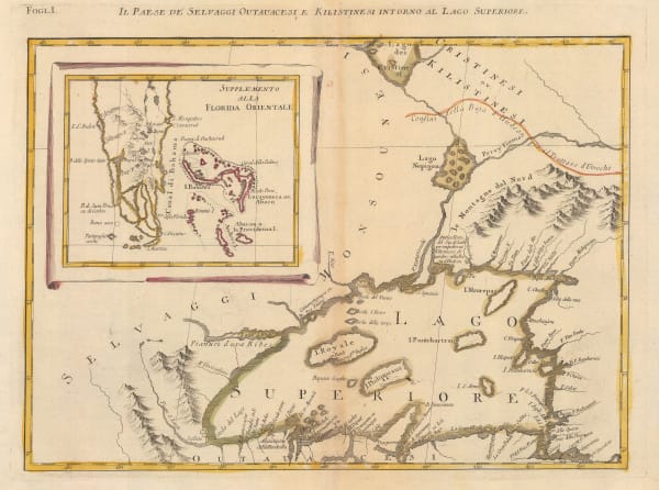
 Antonio Zatta, Early Italian map of Lake Superior, 1780 c.£ 395.00
 -
 Joseph Purcell, A Map of the States of Virginia, North Carolina, South Carolina and Georgia, 1788£ 1,925.00
 -
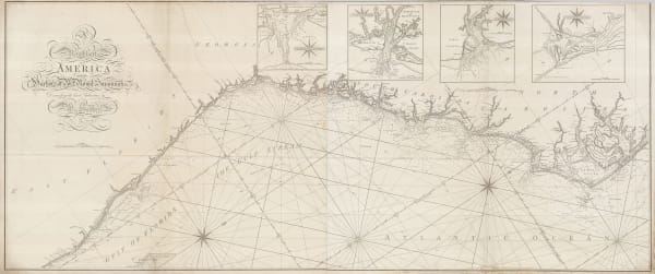
 Laurie & Whittle, A New and General Map of the Southern Dominions Belonging to The United States of America, 1794£ 3,500.00
 -
 William Heather, Chart of the East coast from the Outer Banks of North Carolina to Fort Lauderdale, 1799£ 4,250.00
 -
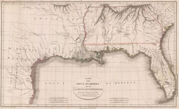
 Jean-Baptiste Poirson, Texas, Louisiana, Alabama, Mississippi, Florida and Georgia, 1807£ 2,500.00
 -
 Spanish Admiralty, St. Augustine, 1809£ 975.00
 -
 Spanish Admiralty, Rare Spanish Admiralty chart of the mouth of the St. Johns River, 1809£ 450.00
 -
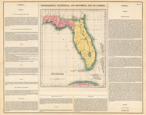
 Carey & Lea, Geographical, Statistical and Historical map of Florida, 1822£ 2,450.00
 -
 John Cary, South-eastern United States, 1825£ 1,675.00
 -
 Spanish Admiralty, Chart of Florida, Bahamas and Cuba , 1838£ 4,850.00
 -
 General Land Office, Map of the State of Florida, 1845£ 725.00
 -
 E. & G.W. Blunt, Pensacola Harbour, 1847£ 88.00
 -
 General Land Office, South Florida, 1850£ 175.00
 -
 General Land Office, A Plat Exhibiting the State of the Surveys in the State of Florida, 1854£ 985.00
 -
 General Land Office, Map of the State of Florida Showing the Progress of the Surveys, 1857£ 425.00
 -
 Alexander Dallas Bache, St. Mary's River and Fernandina Harbour, 1857£ 275.00
 -
 Joseph Hutchins Colton, Florida, 1861£ 495.00
 -
 Alvin J. Johnson, Johnson's Florida, 1863£ 325.00
 -
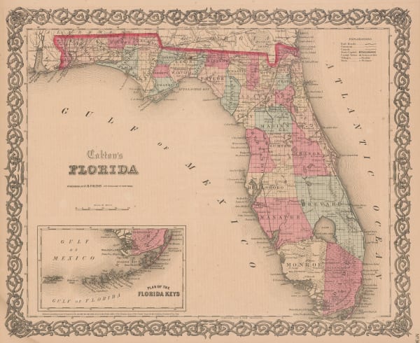
 George Woolworth Colton, Florida, 1868£ 375.00
 -
 Samuel Augustus Mitchell, County Map of Florida, 1874£ 145.00
 -
 Society for the Diffusion of Useful Knowledge (SDUK), Florida, 1879£ 645.00
 -
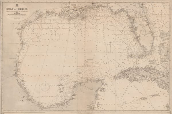
 British Admiralty, Gulf of Mexico, 1891£ 1,550.00
 -
 Perry Mason & Co., Florida, 1891£ 325.00
 -
 W. & A.K. Johnston, United States (S.E.), 1908£ 125.00
 -
 Karl Baedeker, St. Augustine, 1909£ 86.00
 -
 Karl Baedeker, Northern Florida, 1909 c.£ 55.00
 -
 Nathan Mayo, Historical Map of Florida, 1931£ 285.00
 -
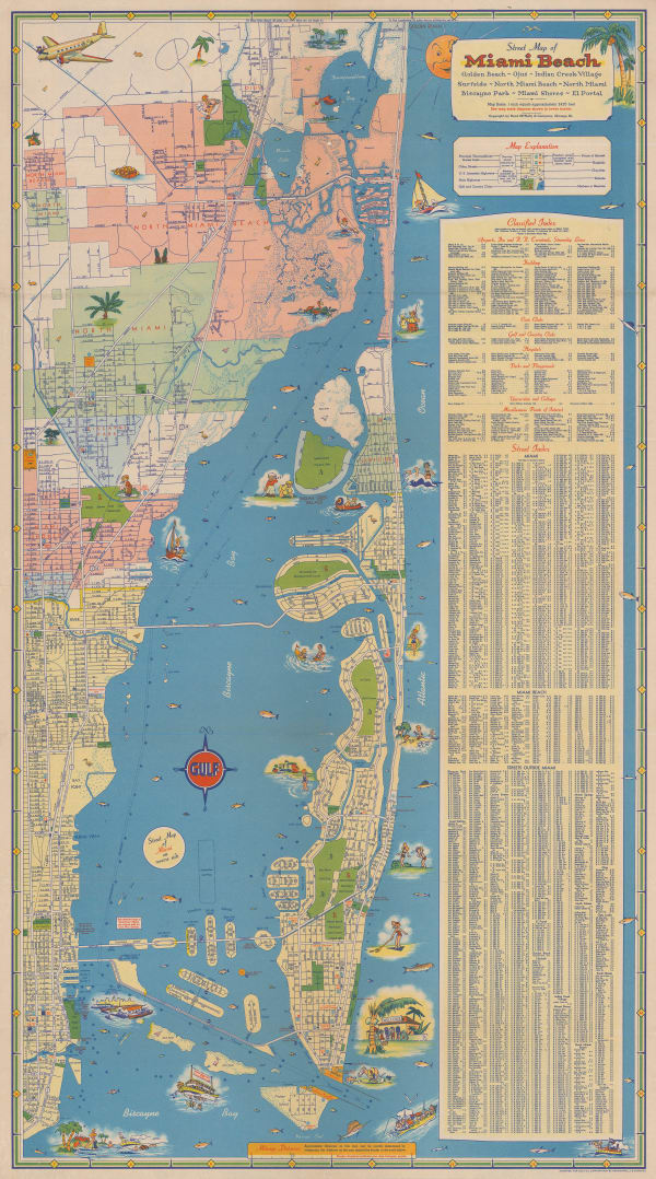
 Rand, McNally & Co., Miami Beach, 1940 (c.)£ 950.00
 -
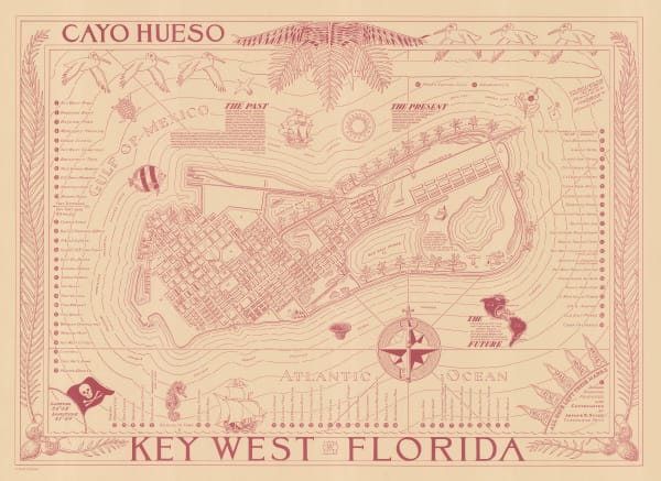
 Arthur B. Suchy, Cayo Hueso - Key West, Florida, 1941 c.£ 425.00
 -
 British Admiralty, Cape San Blas to Vermilion Bay, 1942£ 750.00
 -
 British Admiralty, North America East Coast - Delaware Bay to Florida Strait, 1942£ 950.00
 -
 Dade County Newsdealer's Supply Co., Miami & Miami Beach, 1943£ 375.00
 -
 British Admiralty, Tampa Bay, 1958£ 595.00
 -
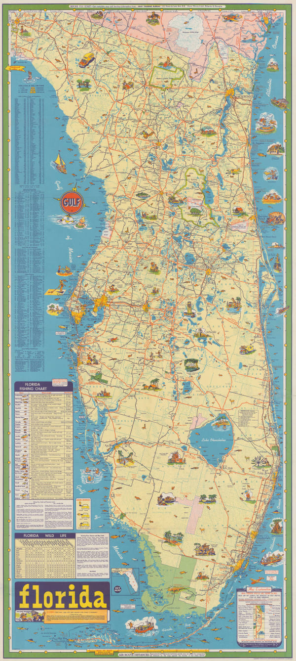
 Rand, McNally & Co., Florida Tourist Map, 1960 (c.)£ 675.00
Close
Search Inventory
Our entire inventory of over 10,000 antique and vintage maps is now available to browse by region, date, cartographer, and subject

