-
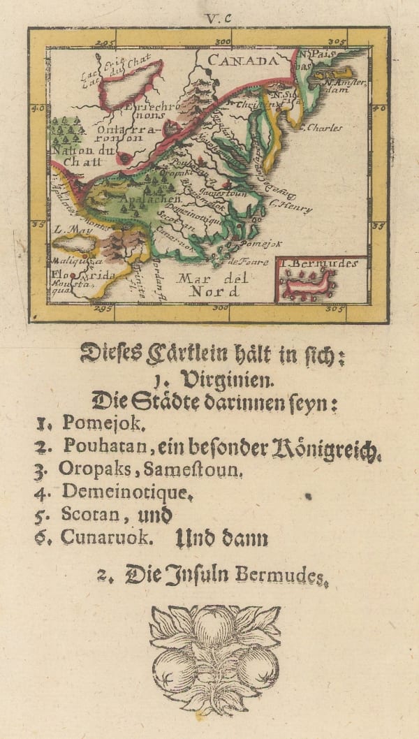
 Petrus Bertius, Early miniature map of north eastern United States, 1616£ 445.00
 -
![Johannes [Jan] de Laet, Florida and the Southeast, 1630](data:image/gif;base64,R0lGODlhAQABAIAAAAAAAP///yH5BAEAAAAALAAAAAABAAEAAAIBRAA7) Johannes [Jan] de Laet, Florida and the Southeast, 1630£ 3,500.00
Johannes [Jan] de Laet, Florida and the Southeast, 1630£ 3,500.00 -
 Willem & Jan Blaeu, Nova Virginiae Tabvla, 1635£ 4,950.00
 -
 Alain Manesson Mallet, Virginie, 1683£ 345.00
 -
 Johann Ulrich Muller, Virginia, 1692£ 525.00
 -
 Robert Morden, Rare miniature map of eastern North America, 1693£ 985.00
 -
 Nicolas de Fer, Eastern Coast of North America, 1705£ 1,950.00
 -
 Valk & Schenk, New England and Virginia, 1710 c.£ 2,300.00
 -
 Johann Baptist Homann, Virginia, Maryland and Carolina, 1714 c.£ 3,250.00
 -

-
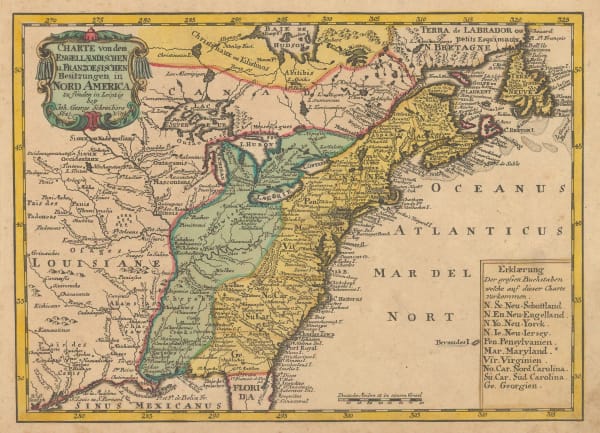
 Johann Georg Schreiber, Eastern United States and Louisiana, 1720 c.£ 565.00
 -
 Herman Moll, The English Empire in America, Newfound-land, Canada, Hudson's Bay, 1723£ 945.00
 -
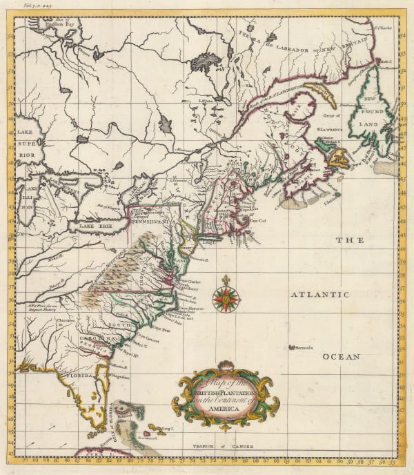
 Thomas Salmon, East Coast showing British plantations, 1739£ 945.00
 -
 Jacques-Nicolas Bellin, Early map of Louisiana and the Mississippi Valley, 1750£ 445.00
 -
 Chesapeake Bay, Maryland, Virginia, New Jersey, and Pennsylvania, 1750 c.Jacques-Nicolas BellinSeries: ParisJacques-Nicolas Bellin, Chesapeake Bay, Maryland, Virginia, New Jersey, and Pennsylvania, 1750 c.£ 745.00
 -
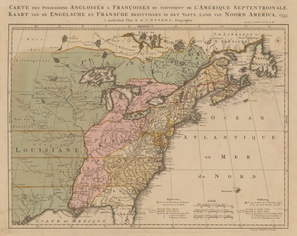
 Josua & Reinier Ottens, French and Indian War, 1755£ 4,850.00
 -
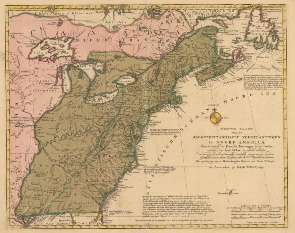
 Isaac Tirion, East coast showing British claims, 1755£ 1,125.00
 -
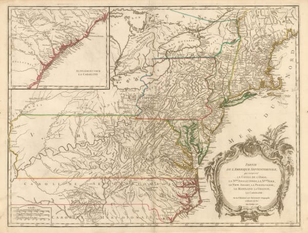
 Robert de Vaugondy, Ohio River and Northeast Colonies, 1755£ 1,650.00
 -
 Robert de Vaugondy, Virginia, Maryland & Delaware, 1755£ 4,950.00
 -
 Thomas Bowen, British and French Settlements in America, 1755£ 4,500.00
 -
 Thomas Kitchin, Colonial America, 1763£ 1,350.00
 -
 Jacques-Nicolas Bellin, French Louisiana, 1764£ 395.00
 -
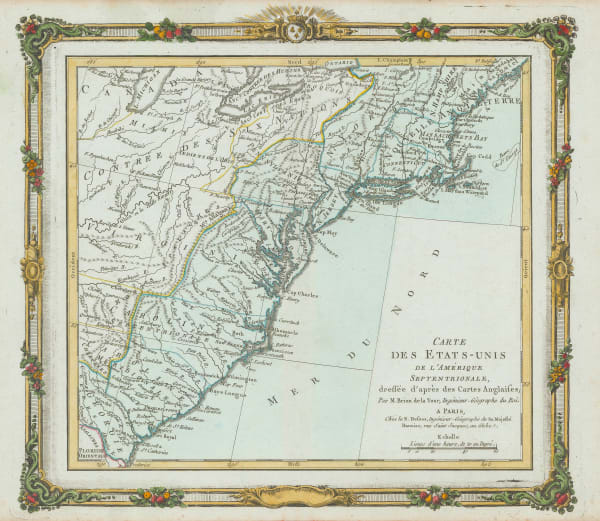
 Louis Brion de la Tour, Eastern Coast of North America, 1766£ 495.00
 -

-
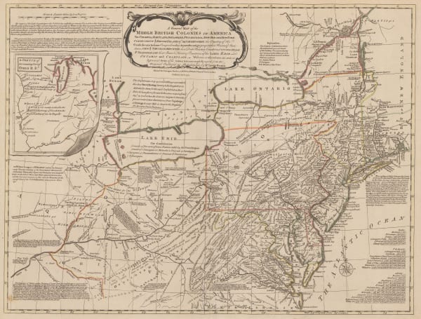
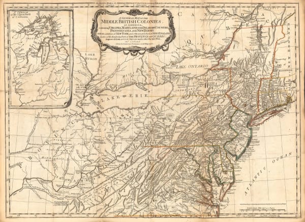
 Sayer & Bennett, Revolutionary War map of the 'Middle British Colonies', 1776£ 4,450.00
 -
 Carte Generale du Canada, de la Louisiane, de la Floride, de la Caroline, de la Virginie, de la Nouvelle Angleterre etc., 1776Francois SantiniSeries: VeniceFrancois Santini, Carte Generale du Canada, de la Louisiane, de la Floride, de la Caroline, de la Virginie, de la Nouvelle Angleterre etc., 1776£ 700.00
 -
 Robert de Vaugondy, Virginia, Maryland & Delaware, 1776 c£ 4,500.00
 -
 Louis Joseph Mondhare, Scarce Revolutionary War map, 1777£ 3,250.00
 -
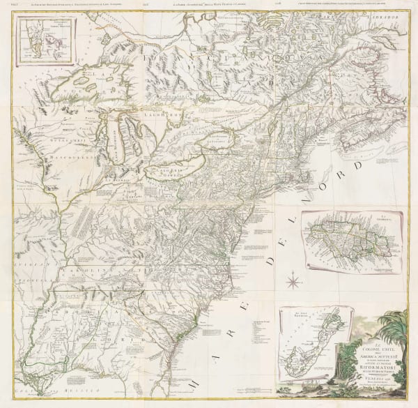
 Antonio Zatta, Eastern North America, 1778£ 985.00
 -

-

-
 John Obadiah Justamond, Eastern United States, 1780 c.£ 1,750.00
 -
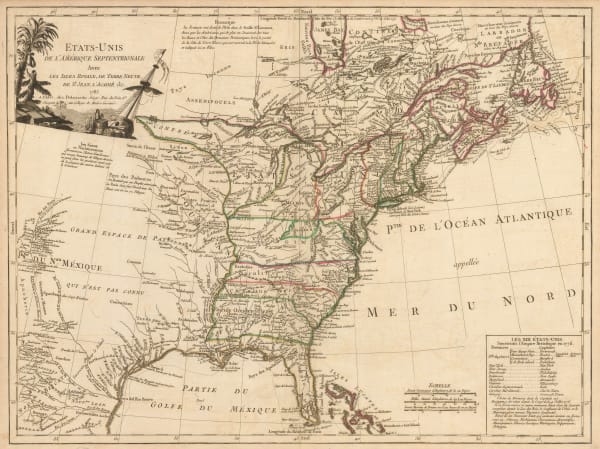
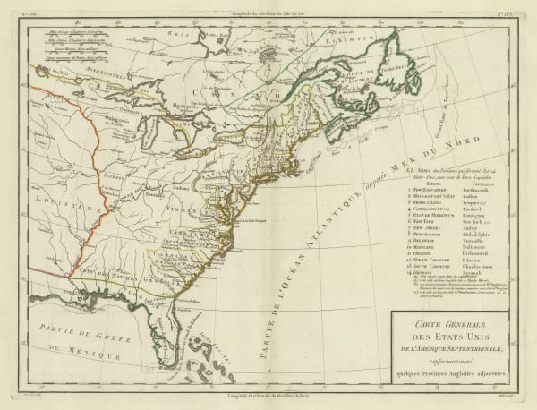
 Rigobert Bonne, Etats Unis de L'Amerique, 1780 c.£ 375.00
 -
 Rigobert Bonne, Eastern United States, 1780 c.£ 375.00
 -
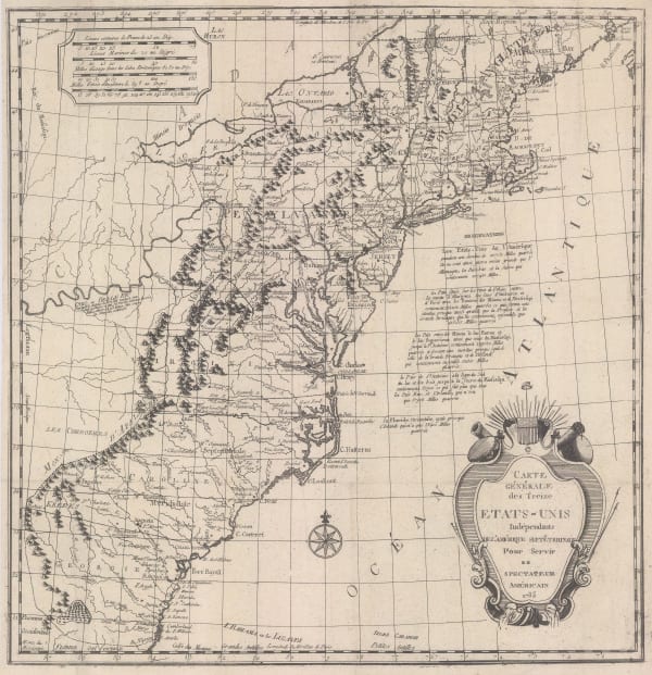
 One of the earliest maps to recognize the newly-independent United States, 1785Hendrik KlockhoffSeries: ParisHendrik Klockhoff, One of the earliest maps to recognize the newly-independent United States, 1785£ 2,450.00
 -
 Charles Francois Delamarche, Scarce early map of the newly-independent USA, 1785£ 1,850.00
 -
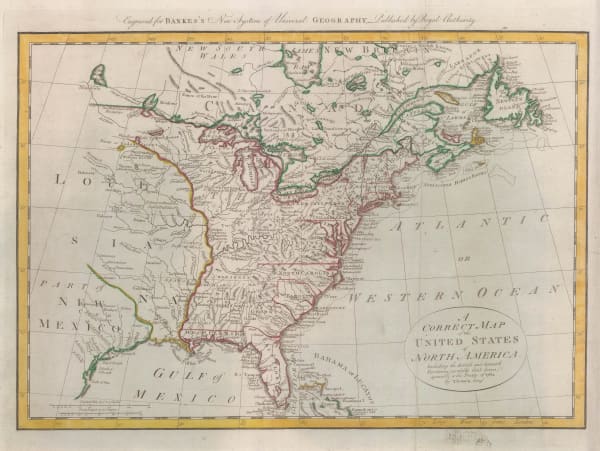
 William Guthrie, Newly-independent United States, 1785 c.£ 945.00
 -
 Tardieu, Eastern United States, 1785 c.£ 745.00
 -

-
 Thomas Bowen, Very early map of the newly formed United States, 1787£ 985.00
 -
 Georges-Louis Le Rouge, Eastern coast of North America and the Mississippi river, 1787£ 1,500.00
 -
 Louis Capitaine du Chesne, Northeastern USA, 1789 (c.)£ 475.00
 -
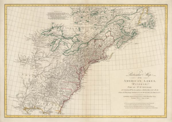
 John Harrison, Eastern North America, 1790£ 1,750.00
 -
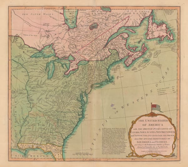
 Laurie & Whittle, The United States of America, 1794£ 3,000.00
 -
 John Russell, Miniature map of the Eastern United States, 1795£ 155.00
 -
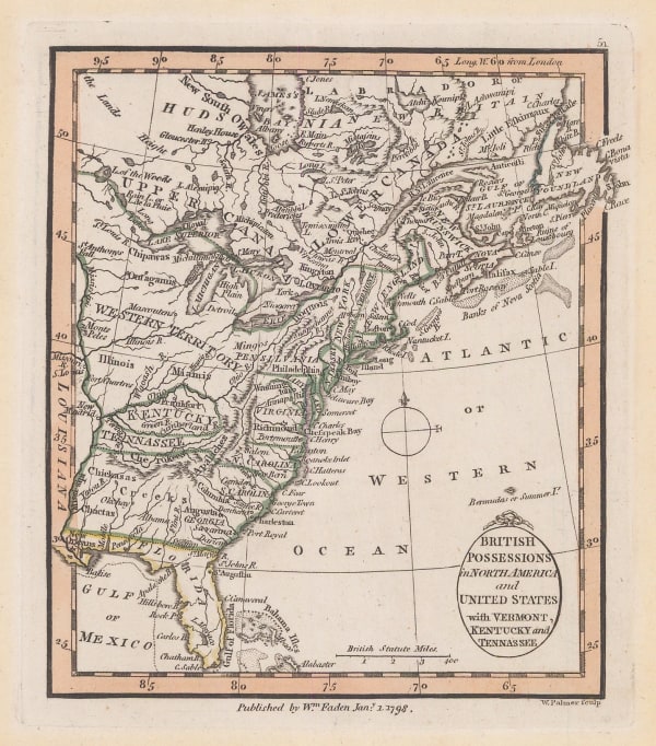
 William Faden, East coast of the USA and Canada, 1798£ 385.00
 -
 John Stockdale, Eastern United States, 1798£ 845.00
 -
 Carl Jaettnig, Eastern United States, 1800£ 545.00
 -
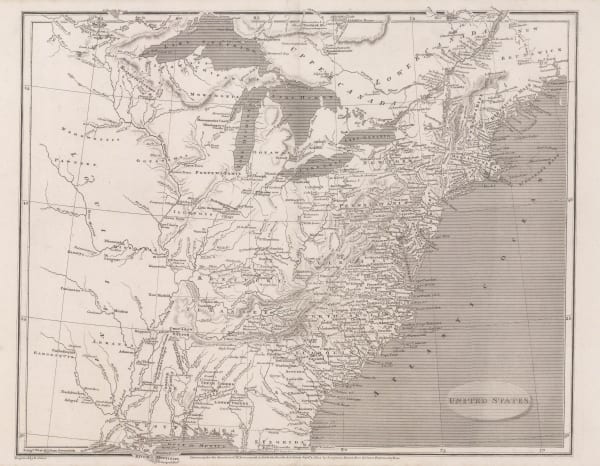
 Aaron Arrowsmith, United States, 1805£ 375.00
 -
 John Russell, Eastern United States, 1805 c.£ 125.00
 -
 Neele, Map of Canada, 1809£ 485.00
 -
 George Cooke, A Map of the United States of America, 1810 c.£ 115.00
 -

-
 John Thomson, Eastern United States and the St Lawrence river, 1814 c.£ 1,450.00
 -
 Edward Baines, United States and Canada during the War of 1812, 1816£ 295.00
 -
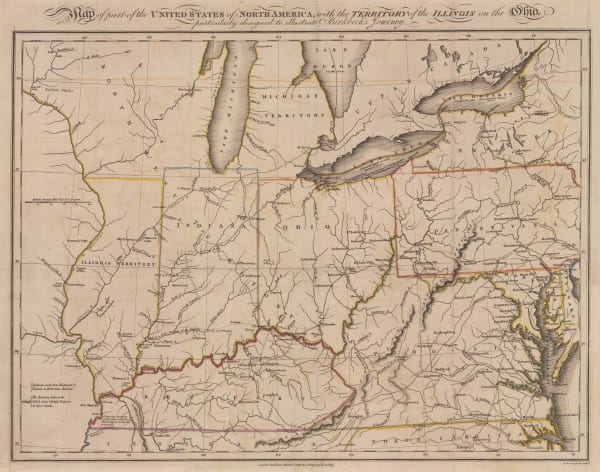
 Morris Birkbeck, Early map of Ohio, Indiana and the Territory of Illinois, 1818£ 1,250.00
 -
 Richard Phillips, United States, 1820£ 185.00
 -
 Pierre Tardieu, Eastern United States and West Indies., 1820 c.£ 175.00
 -
 Daniel & William Lizars, United States, 1820 c.£ 365.00
 -

-
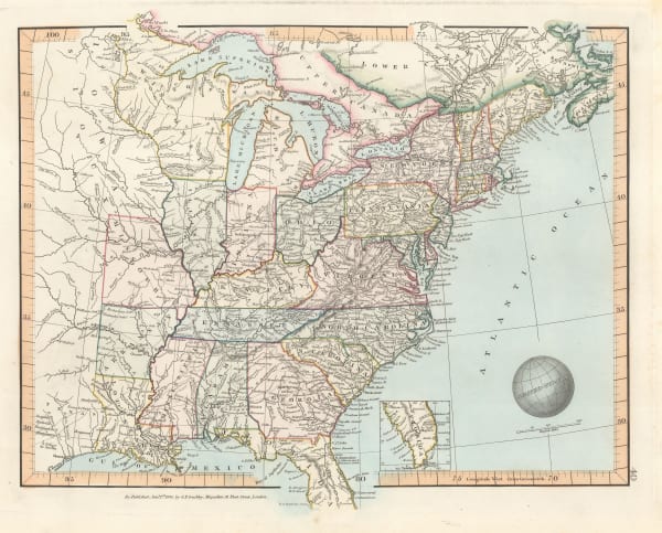
 John Cary, Eastern United States, 1825£ 1,475.00
 -
 Philippe Vandermaelen, Cape Cod to Chesapeake Bay, 1827£ 350.00
 -
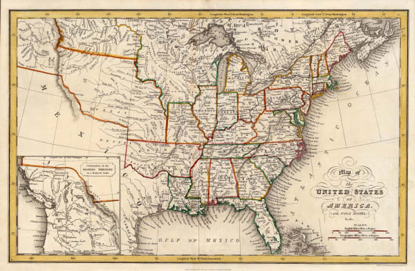
 I.T. Hinton, Map of the United States of America and Nova Scotia, 1832£ 285.00
 -
 Society for the Diffusion of Useful Knowledge (SDUK), Eastern United States, 1834£ 225.00
 -
 Charles Smith, United States, 1834£ 295.00
 -
 Samuel Augustus Mitchell, United States, 1835£ 1,850.00
 -
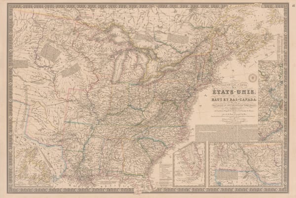
 Adrien Brue, United States showing westward expansion, 1836£ 895.00
 -
 James Wyld, The United States of North America with the British Territories, 1841£ 1,850.00
 -
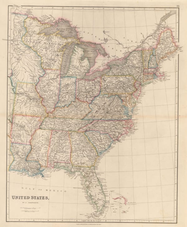
 John Arrowsmith, Victorian map of the Eastern United States, 1842£ 595.00
 -
 Thomas Tegg, United States, 1843£ 55.00
 -
 James Hall, Geological Map of the Middle and Western States, 1843£ 1,250.00
 -
 W. & A.K. Johnston, United States and Texas, 1843£ 1,150.00
 -
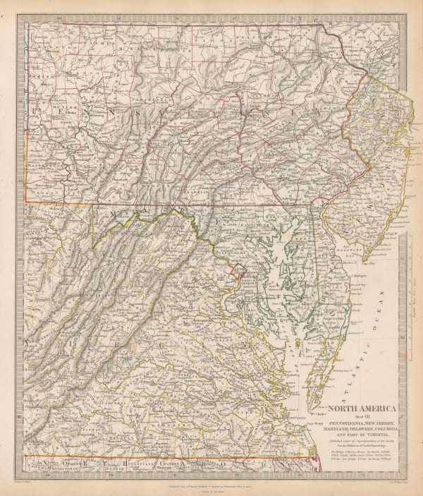
 Virginia, Maryland, Delaware, Pennsylvania & New Jersey, 1844Society for the Diffusion of Useful Knowledge (SDUK)Series: LondonSociety for the Diffusion of Useful Knowledge (SDUK), Virginia, Maryland, Delaware, Pennsylvania & New Jersey, 1844£ 145.00
 -
 Society for the Diffusion of Useful Knowledge (SDUK), Philadelphia, 1844£ 495.00
 -

-
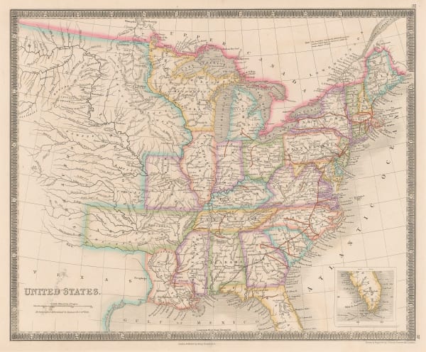
 George Frederick Cruchley, United States, 1845£ 140.00
 -
 Samuel Augustus Mitchell, United States, 1846£ 225.00
 -
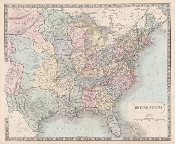
 Henry Teesdale, United States, 1847£ 345.00
 -
 Selina Hall, United States, 1850 c.£ 275.00
 -
 John Tallis, United States, 1851£ 495.00
USA - East
Our entire inventory of over 10,000 antique and vintage maps is now available to browse by region, date, cartographer, and subject
Page
1
of 2


![Johannes [Jan] de Laet, Florida and the Southeast, 1630](https://artlogic-res.cloudinary.com/w_600,c_limit,f_auto,fl_lossy,q_auto/artlogicstorage/themaphouse/images/view/57ce486c201061945f9c5ea3c94828faj/themaphouse-johannes-jan-de-laet-florida-and-the-southeast-1630.jpg)


