-
 British Admiralty, Ch'ang Chiang, 1959£ 495.00
 -
British Admiralty, China Sea, 1959£ 375.00
-
British Admiralty, Kiaochow Bay to Lai Chau Bay, 1959£ 375.00
-
British Admiralty, Kue Shan Id. to the Yangtze Kiang, 1959£ 385.00
-
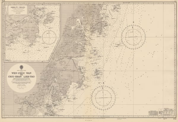
British Admiralty, Wen-Chou Wan to Chiu-Shan, Lieh- Tao, 1959£ 325.00
-
US Air Force, Seoul Road Map, 1959£ 3,950.00
-
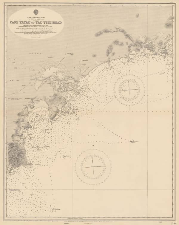
British Admiralty, Cape Yatau to Tau Tsui Head, 1960£ 295.00
-
British Admiralty, China Sea - Northern Portion - Eastern Sheet, 1960£ 375.00
-
British Admiralty, Fan Rang Bay to Ton King Gulf, 1960£ 325.00
-
British Admiralty, Hong Kong to the Three Brothers, 1960£ 475.00
-
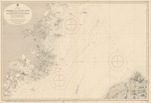
British Admiralty, Ockseu Id. to Tung Yung, 1960£ 375.00
-
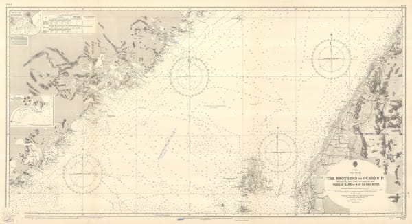
British Admiralty, The Brothers to Ockseu Id., 1960£ 425.00
-
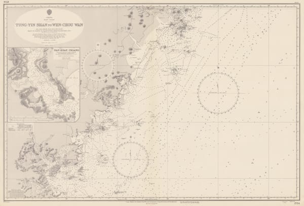
British Admiralty, Tung-Yin Shan to Wen-Chou Wan, 1960£ 325.00
-
Continental Printing Co., Hong Kong Island, 1960 (c.)£ 1,250.00
-
Servicemen's Guides, Hong Kong, 1960 c£ 545.00
-
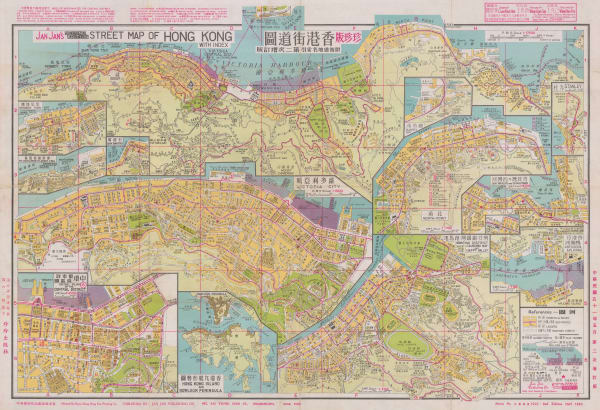
Jan Jan Co., Street Map of Hong Kong, 1962£ 3,250.00
-
British Admiralty, Hsiang-Shan Chiang to Yung Chiang, 1965£ 325.00
-
British Admiralty, Hong Kong and Approaches, 1966£ 750.00
-
Sun Sun Co., Street Map of Kowloon, 1966£ 1,850.00
-
Liu Yong Zhang, Map of Hong Kong, 1970 c£ 1,250.00
-
Anonymous, Hong Kong, 1970 c.£ 375.00
-
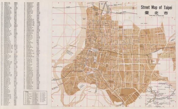
Anonymous, Street Map of Taipei | 臺北市, 1970 c.£ 175.00
-
Crown Lands and Survey Office Hong Kong, Hong Kong, 1975£ 850.00
-
Tourism Bureau, Republic of China, Taiwan, 1975 c£ 245.00
-
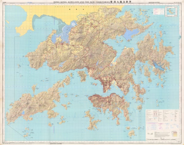
Geographical Section, General Staff (GSGS), Hong Kong, Kowloon and the New Territories, 1976£ 1,200.00
-
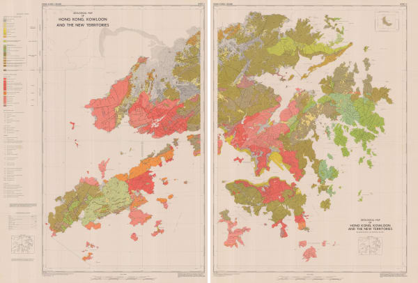
Crown Lands Survey, Geological Map of Hong Kong, Kowloon and the New Territories, 1977£ 2,500.00
-
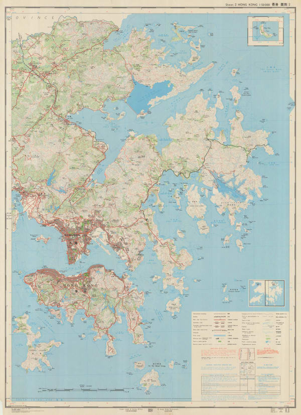
Hong Kong Lands Survey Dept., Lantau Island [大嶼山 及 離島 ], 1980£ 275.00


![Hong Kong Lands Survey Dept., Lantau Island [大嶼山 及 離島 ], 1980](https://artlogic-res.cloudinary.com/w_600,c_limit,f_auto,fl_lossy,q_auto/artlogicstorage/themaphouse/images/view/265673207d9995fa19600334443ea8ccj/themaphouse-hong-kong-lands-survey-dept.-lantau-island-1980.jpg)
Page
5
of 5