-
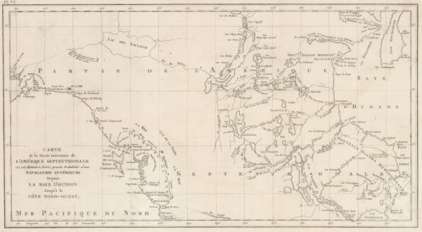
 Cornelis Wytfliet, Pacific Northwest, the Kingdom of Anian, 1607£ 3,250.00
 -
 Jacques-Nicolas Bellin, Russian Discoveries in Siberia, Alaska & the Bering Strait, 1750 c.£ 725.00
 -
 Robert de Vaugondy, West coast of North America, 1772£ 695.00
 -
 Jacques-Nicolas Bellin, North Pacific, Alaska & the Bering Strait, 1795 c£ 3,450.00
 -
 John Meares, Western Canada, 1795 c.£ 985.00
 -
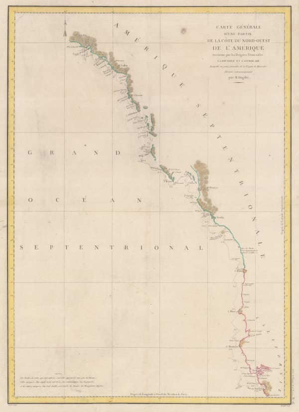
 Jean Francois de La Perouse, Comte de la Perouse's voyage, western coast of North America, 1797£ 675.00
 -
 Daniel Friedrich Sotzmann, North West Pacific coast of America, 1800£ 795.00
 -
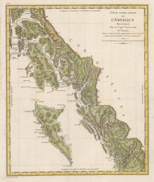
 Tardieu, Coast of British Columbia & Graham Island, 1810 c.£ 425.00
 -
 Philippe Vandermaelen, British Columbia north of Port Essington, 1827£ 95.00
 -
 Northern Alberta and Saskatchewan south of Lake Athabasca, 1827Philippe VandermaelenSeries: BrusselsPhilippe Vandermaelen, Northern Alberta and Saskatchewan south of Lake Athabasca, 1827£ 195.00
 -
 Philippe Vandermaelen, Hudson Bay coast, Manitoba, 1827£ 295.00
 -
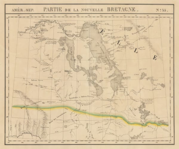
 Philippe Vandermaelen, Lakes Winnipeg and Winnipegosis, Manitoba, 1827£ 350.00
 -
 Philippe Vandermaelen, Nunavut west of Chesterfield Inlet, 1827£ 90.00
 -
 Philippe Vandermaelen, Early map of Vancouver Island and southern British Columbia, 1827£ 1,650.00
 -
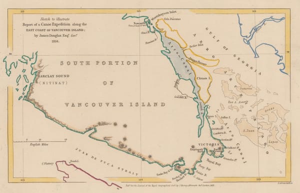
 Royal Geographical Society (RGS), Southern coast of Vancouver Island, 1856£ 195.00
 -
 Royal Geographical Society (RGS), Vancouver Island and coast of British Columbia, 1857£ 485.00
 -
 Archibald Fullarton, British Columbia & Vancouver Island, 1860 c.£ 545.00
 -
 Royal Geographical Society (RGS), Southern British Columbia and Vancouver Island, 1861£ 445.00
 -
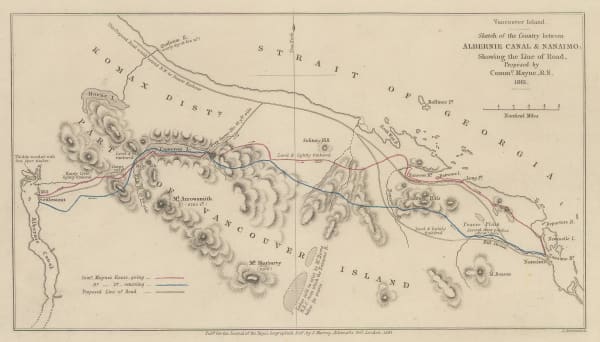
 Royal Geographical Society (RGS), Southern Vancouver Island from Alberni Inlet to Nanaimo, 1862£ 60.00
 -
 Royal Geographical Society (RGS), Vancouver Island, 1864£ 525.00
 -
 Royal Geographical Society (RGS), Vancouver Island & British Columbia, 1864£ 375.00
 -
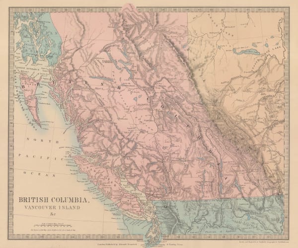
 Society for the Diffusion of Useful Knowledge (SDUK), British Columbia & Vancouver Island, 1875£ 385.00
 -
 Royal Geographical Society (RGS), Western Canada showing Canada-United States border, 1876£ 375.00
 -
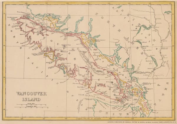
 W. & A.K. Johnston, Vancouver Island, 1880 (c.)£ 95.00
 -
 French Admiralty, Chart of the west coast of North America, 1881£ 825.00
 -
 Royal Geographical Society (RGS), Athabasca District, Saskatchewan, 1883£ 395.00
 -
 John Cassell, Vancouver Island, 1885 c.£ 195.00
 -
 Royal Geographical Society (RGS), Selkirk Range, British Columbia, 1889£ 115.00
 -
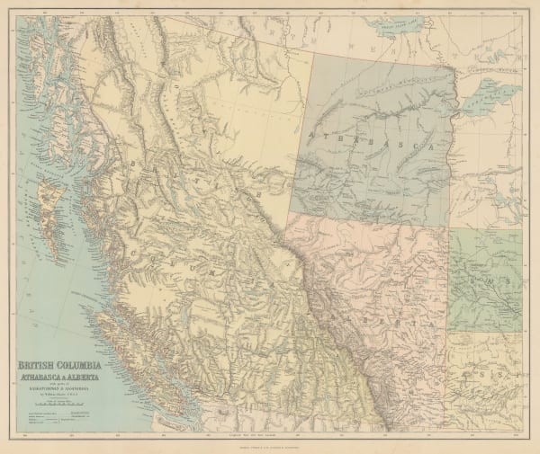
 George Philip & Son Ltd., British Columbia, Athabasca & Alberta, 1890£ 245.00
 -
 Royal Geographical Society (RGS), Selkirk Range, British Columbia, 1891£ 145.00
 -
 Edward Stanford, Western Canada, 1898£ 195.00
 -
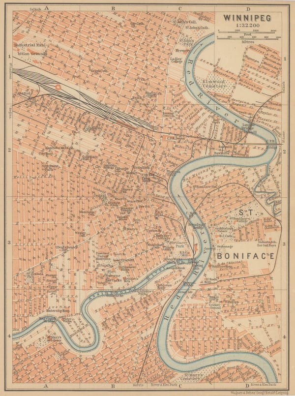
 Karl Baedeker, Winnipeg, 1898£ 42.00
 -
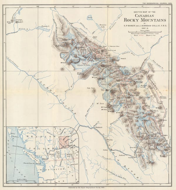
 Royal Geographical Society (RGS), Waputik Mountains, Canadian Rockies, 1899£ 165.00
 -
 Royal Geographical Society (RGS), Part of the Canadian Rocky Mountains, British Columbia, 1903£ 275.00
 -
![Karl Baedeker, [British Columbia and Vancouver Island], 1909](data:image/gif;base64,R0lGODlhAQABAIAAAAAAAP///yH5BAEAAAAALAAAAAABAAEAAAIBRAA7) Karl Baedeker, [British Columbia and Vancouver Island], 1909£ 68.00
Karl Baedeker, [British Columbia and Vancouver Island], 1909£ 68.00 -
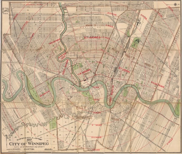
 R.C. McPhillips, Map of the City of Winnipeg, 1910£ 895.00
 -
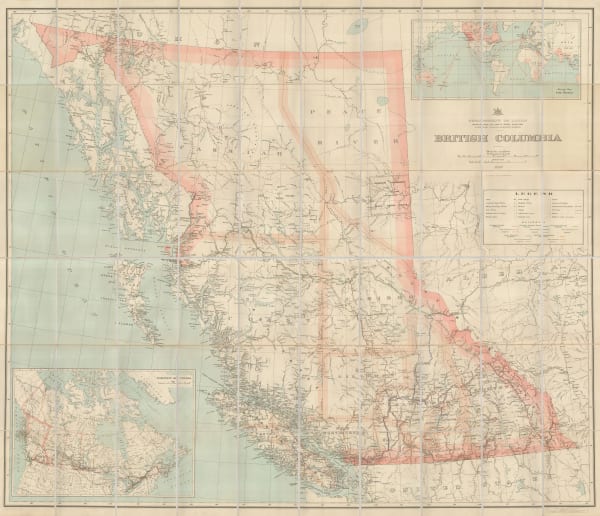
 George Griffith Aitken, British Columbia, 1912£ 3,250.00
 -
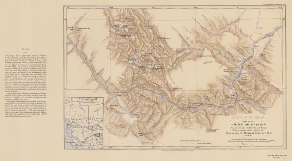
 Royal Geographical Society (RGS), Canadian Rocky Mountains North of the Yellowhead Pass, 1912£ 235.00
 -
 W. & A.K. Johnston, Western Canada, 1912£ 125.00
 -
 T.N. Hibben & Co., Vancouver Island and southern British Columbia, 1912£ 885.00
 -
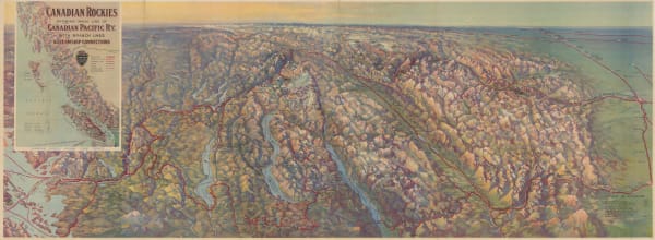
 Canadian Pacific Railway, Railway map of the Canadian Rocky Mountains, 1920 c£ 485.00
 -
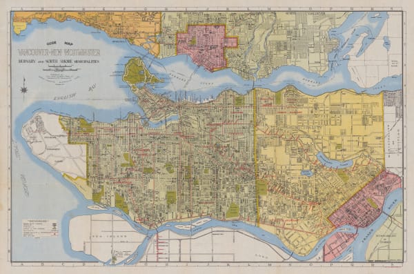
 Grant & Sons, City of Vancouver, 1935£ 675.00
 -
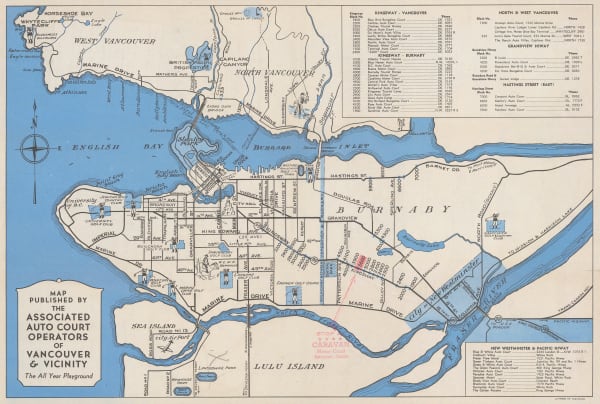
 Anonymous, Vancouver, 1950 c.£ 125.00
 -
 Mundy Map Co., Resources and Road Map of Western Canada, 1957£ 485.00
Close
Search Inventory
Our entire inventory of over 10,000 antique and vintage maps is now available to browse by region, date, cartographer, and subject
Join our mailing list
* denotes required fields
We will process the personal data you have supplied to communicate with you in accordance with our Privacy Policy. You can unsubscribe or change your preferences at any time by clicking the link in our emails.

















![Karl Baedeker, [British Columbia and Vancouver Island], 1909](https://artlogic-res.cloudinary.com/w_600,c_limit,f_auto,fl_lossy,q_auto/artlogicstorage/themaphouse/images/view/99a3db3157adb371c8d7608b0b8487ccj/themaphouse-karl-baedeker-british-columbia-and-vancouver-island-1909.jpg)
