-
 Vincenzo Coronelli, Louisiana Parte Setteno Descritta, 1690 c.£ 1,150.00
 -
 Jacques-Nicolas Bellin, Harbour and bays of Placentia, 1744£ 95.00
 -
 Jacques-Nicolas Bellin, Englishtown and St. Ann's Bay , 1744£ 98.00
 -
 Jacques-Nicolas Bellin, Newfoundland and the Gulf of St. Lawrence, 1751£ 225.00
 -
 Herman Moll, A Description of the Bay of Fundy, 1755 c.£ 395.00
 -
 Herman Moll, Newfoundland, St. Laurence Bay, The Fishing Banks, Acadia and Part of New Scotland, 1755 c.£ 375.00
 -
 London Magazine, A Map of the Harbour of Louisburg and parts adjacent, 1758£ 145.00
 -
 John Gibson, A Plan of the City of Louisbourg with its Fortifications, 1761£ 125.00
 -
 Jacques-Nicolas Bellin, Englishtown and St. Ann's Bay, 1764£ 175.00
 -
 Jacques-Nicolas Bellin, Harbour of St. John's, Newfoundland, 1764£ 145.00
 -
 Jacques-Nicolas Bellin, Nova Scotia and Prince of Wales Island, 1764£ 445.00
 -
 Jacques-Nicolas Bellin, Halifax, Nova Scotia, 1764£ 325.00
 -
 Jacques-Nicolas Bellin, St. Pierre and Miquelon, 1764£ 195.00
 -
 Jacques-Nicolas Bellin, St. Pierre and Miquelon, 1764£ 195.00
 -
 Jacques-Nicolas Bellin, Strait of Belle-Isle, 1764£ 195.00
 -
 Jacques-Nicolas Bellin, St Pierre Island, 1764£ 145.00
 -
 Andrew Dury, Prince Edward Island divided into counties, parishes, and individual land grants, 1775£ 845.00
 -
 Antonio Zatta, North-eastern North America, 1779£ 675.00
 -
 Antoine de Sartine, Important map of the east coast of the United States and Canada, 1792 (c.)£ 3,250.00
 -
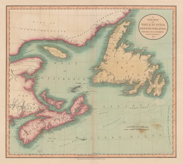
 John Cary, A New Map of Nova Scotia, Newfoundland &c., 1807£ 275.00
 -
 Tardieu, North-eastern United States, 1810 c.£ 495.00
 -
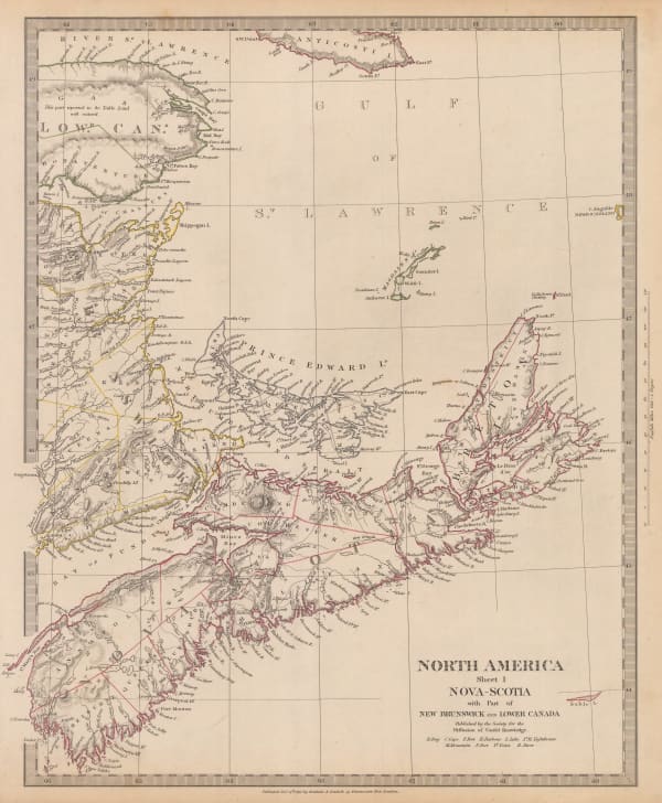
 Society for the Diffusion of Useful Knowledge (SDUK), Nova-Scotia with Part of New Brunswick and East Canada, 1832£ 125.00
 -
 Charles Smith, New Brunswick, Nova Scotia, &c., 1834£ 165.00
 -
 John Arrowsmith, Eastern Canada and New England, 1838£ 295.00
 -
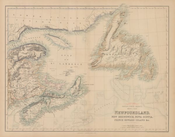
 Archibald Fullarton, Newfoundland, New Brunswick, Nova Scotia, Prince Edward Island, 1860 c.£ 85.00
 -
 Johnson & Ward, Johnson's New Brunswick, Nova Scotia, Newfoundland, and Prince Edward Id., 1863£ 65.00
 -
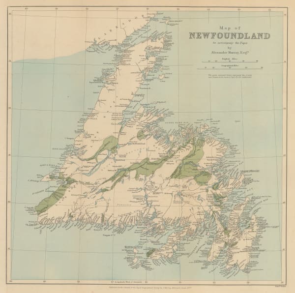
 Royal Geographical Society (RGS), Map of Newfoundland, 1864£ 145.00
 -
 A. & W. McKinlay, Map of the Province of Nova Scotia including the Island of Cape Breton, 1865 c.£ 495.00
 -
 Edward Stanford, Geological Map of Newfoundland, 1879£ 3,250.00
 -
 George Cram, Southern Nova Scotia, 1889£ 42.00
 -
 George Cram, Central Nova Scotia, 1889£ 42.00
 -
 Arbuckle Brothers Company, Newfoundland, 1889£ 84.00
 -
 G. & J. Bartholomew, Newfoundland, 1890 c.£ 36.00
 -
 Royal Geographical Society (RGS), Map of Newfoundland, 1890 c.£ 245.00
 -
 Edward Stanford, Newfoundland, 1904£ 295.00
Close
Search Inventory
Our entire inventory of over 10,000 antique and vintage maps is now available to browse by region, date, cartographer, and subject
Join our mailing list
* denotes required fields
We will process the personal data you have supplied to communicate with you in accordance with our Privacy Policy. You can unsubscribe or change your preferences at any time by clicking the link in our emails.


