-
 Martin Waldseemüller & Laurent Fries, West Africa, 1541£ 2,550.00
 -
 Early woodcut map of West Africa and the Gulf of Guinea, 1556Giovanni Battista RamusioSeries: VeniceGiovanni Battista Ramusio, Early woodcut map of West Africa and the Gulf of Guinea, 1556£ 3,650.00
 -
 Petrus Bertius, Guinea, 1616£ 245.00
 -
 Mercator Hondius, West Africa & the Gulf of Guinea, 1623£ 1,550.00
 -
 Robert Dudley, West Africa & the Gulf of Guinea, 1661£ 2,250.00
 -
 Olfert Dapper, West Africa & the Gulf of Guinea, 1676£ 485.00
 -
 Robert Morden, North & West Africa, 1688£ 125.00
 -
 Pierre Duval, West Africa & the Gulf of Guinea, 1694£ 145.00
 -
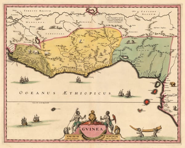
 Vincenzo Coronelli, West Africa & the Gulf of Guinea, 1696£ 765.00
 -
 Nicolas Sanson, West and Northwest Africa, 1700£ 475.00
 -
 Pierre Mortier, Sea Chart of West Africa from Ghana to Angola, 1700£ 1,450.00
 -
 Guillaume De L'Isle, North & West Africa, 1707£ 445.00
 -
 Pierre Mortier, Sea Chart of West Africa & Atlantic Islands, 1708£ 1,350.00
 -
 Valk & Schenk, West Africa & the Gulf of Guinea, 1720 c.£ 645.00
 -
 Herman Moll, West Africa, 1755 c.Reserved
 -
 Bowen & Gibson, Miniature map of West Africa, 1758£ 140.00
 -
 Emanuel Bowen, West Africa, 1766£ 645.00
 -
 Malachy Postlethwayt, West Africa with a list of European Settlements, 1766£ 1,450.00
 -
 Maj. Dixon Denham, Sketch map of Lake Chad, 1826£ 145.00
 -
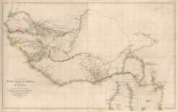
 John Arrowsmith, Map of the West Coast of Africa, 1841£ 1,450.00
 -
 Royal Geographical Society (RGS), The Cross River, Nigeria, 1844£ 48.00
 -
 Royal Geographical Society (RGS), The Rivers Kwora & Chadda or Binue, 1855£ 115.00
 -
 Joseph Meyer, Nigeria, Cameroon & Chad, 1855 c.£ 165.00
 -
 Royal Geographical Society (RGS), Western Africa - To Illustrate Travels in the Yoruba and Nupe Countries, 1859£ 145.00
 -
 Archibald Fullarton, Ethiopia & Central Africa, 1860 c.£ 195.00
 -
 Royal Geographical Society (RGS), Lake Chad and Neighbouring Regions, 1876£ 68.00
 -
 Society for the Diffusion of Useful Knowledge (SDUK), West Africa II, 1879£ 95.00
 -
 Archibald Fullarton, Nigeria, Cameroon & Chad, 1880 c.£ 30.00
 -
 Royal Geographical Society (RGS), Migrations of Bantu Speakers in Nigeria & Cameroon, 1888£ 185.00
 -
 F.A. Brockhaus, German Colonies in Africa - Cameroon, Togo & Namibia, 1893£ 68.00
 -
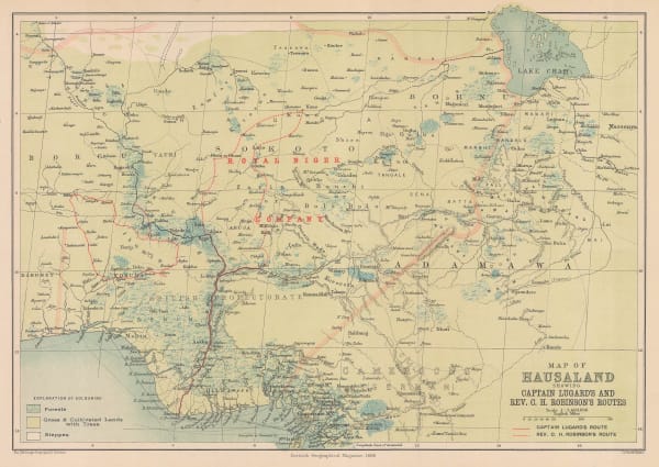
 Scottish Geographical Society (SGS), Hausaland, Nigeria, 1896£ 345.00
 -
 Royal Geographical Society (RGS), Map of the Niger Delta, 1897£ 645.00
 -
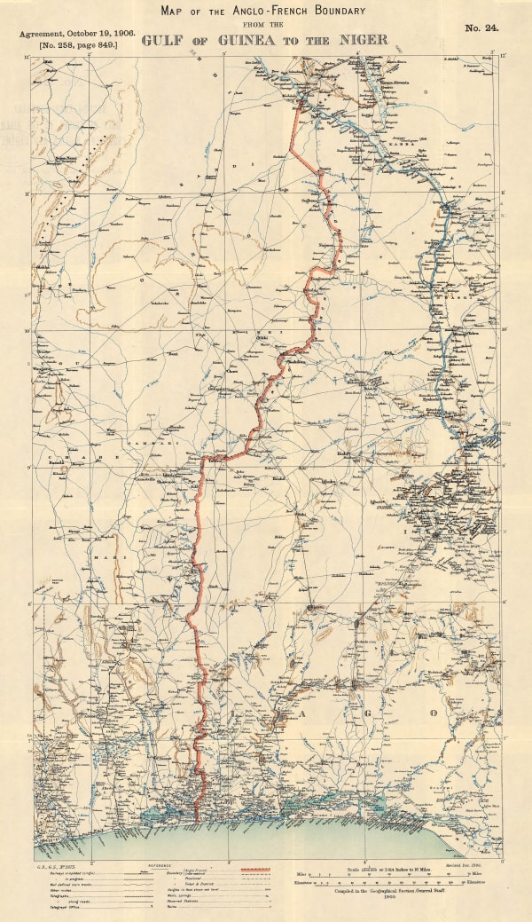
 Edward Hertslet, Map of the Anglo-French Boundary from the Gulf of Guinea to the Niger, 1909£ 175.00
 -
 Edward Hertslet, Map of the Anglo-French Boundary from the Gulf of Guinea to the Niger (Southern Portion), 1909£ 125.00
 -
 Edward Hertslet, Nigeria - Cameroon Boundary Commission, 1909£ 115.00
 -
 Edward Hertslet, Nigeria - Cameroon Boundary Commission, 1909£ 40.00
 -
 Dr. Karl Kumm's route from the Niger to the Nile, 1910Royal Geographical Society (RGS)Series: LondonRoyal Geographical Society (RGS), Dr. Karl Kumm's route from the Niger to the Nile, 1910£ 285.00
 -
 Royal Geographical Society (RGS), Southern Nigeria to Illustrate the Paper by A.E. Kitson, 1913£ 345.00
 -
 Royal Geographical Society (RGS), Southern Provinces of Nigeria - The Eket District, 1914£ 145.00
 -
 Mouton & Co., Lagos, 1960£ 1,500.00
Close
Search Inventory
Our entire inventory of over 10,000 antique and vintage maps is now available to browse by region, date, cartographer, and subject
Join our mailing list
* denotes required fields
We will process the personal data you have supplied to communicate with you in accordance with our Privacy Policy. You can unsubscribe or change your preferences at any time by clicking the link in our emails.


