-
 Petrus Bertius, Miniature map of southern Africa, 1618£ 450.00
 -
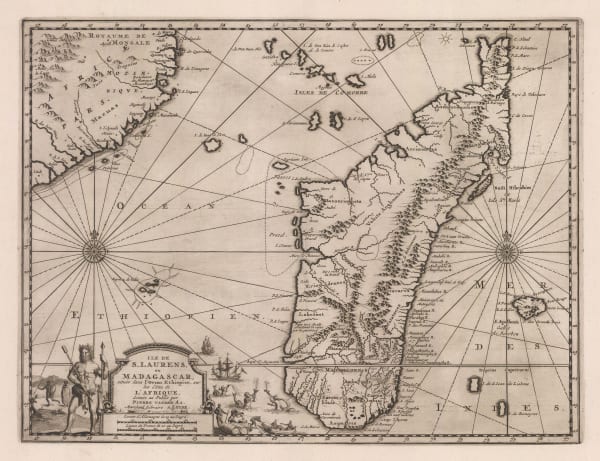
Willem & Jan Blaeu, Madagascar with the coast of Mozambique, 1662£ 925.00
-
Athanasius Kircher, The Source of the Nile in the Mountains of the Moon, 1665£ 1,750.00
-
Robert Morden, Early miniature map of Madagascar, 1688£ 140.00
-
Vincenzo Coronelli, Madagascar & East Africa (Globe Gore), 1696£ 895.00
-
Nicolas de Fer, Southern & Central Africa, 1702£ 795.00
-
Pieter van der Aa, Madagascar based on French surveys, 1717 c.£ 445.00
-
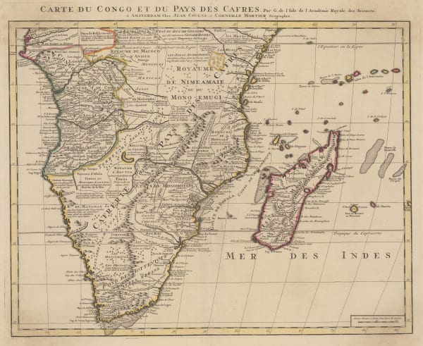
Covens (Jean) & Mortier (Cornelius), Southern & Central Africa, 1730 c.£ 1,250.00
-
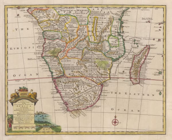
Emanuel Bowen, A New & Accurate Map of the Southern Parts of Africa, 1747£ 695.00
-
Mount & Page, Madagascar and the coast of Mozambique, 1750 c.£ 385.00
-
Antonio Zatta, Madagascar, coast of Mozambique, Réunion and Mauritius, 1778£ 295.00
-
Charles Francois Delamarche, Southern & Central Africa, 1795£ 325.00
-
Laurie & Whittle, Chart of Madagascar and Mozambique coast, 1797£ 1,250.00
-
Adrien Brue, Southern Africa & the Cape Colony, 1828 c.£ 250.00
-
Royal Geographical Society (RGS), Outline Map of Southern Africa, 1833£ 82.00
-
Royal Geographical Society (RGS), Southeast Madagascar, 1875£ 195.00
-
Royal Geographical Society (RGS), Central Madagascar and Anakaratra volcano, 1875£ 345.00
-
Royal Geographical Society (RGS), Northern Madagascar, 1877£ 195.00
-
Royal Geographical Society (RGS), West Central Madagascar, 1877£ 195.00
-
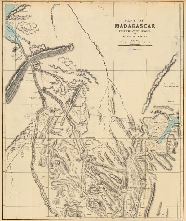
Royal Geographical Society (RGS), Physical Map of Madagascar, 1878£ 68.00
-
Royal Geographical Society (RGS), Imerina (Central Madagascar), 1892£ 86.00
-
Royal Geographical Society (RGS), Course of the Onilahy River, southwest Madagascar , 1895£ 125.00
Close
Search Inventory
Our entire inventory of over 10,000 antique and vintage maps is now available to browse by region, date, cartographer, and subject


Join our mailing list
* denotes required fields
We will process the personal data you have supplied to communicate with you in accordance with our Privacy Policy. You can unsubscribe or change your preferences at any time by clicking the link in our emails.
![]()
Join our mailing list
* denotes required fields
We will process the personal data you have supplied to communicate with you in accordance with our Privacy Policy. You can unsubscribe or change your preferences at any time by clicking the link in our emails.