-
 Martin Waldseemüller & Laurent Fries, West Africa, 1541£ 2,550.00
 -
Abraham Ortelius, Early map of Morocco, 1598£ 945.00
-
Mercator Hondius, Dutch Golden Age map of Morocco, 1620 c£ 845.00
-
Samuel Purchas, Early map of Morocco, 1625£ 285.00
-
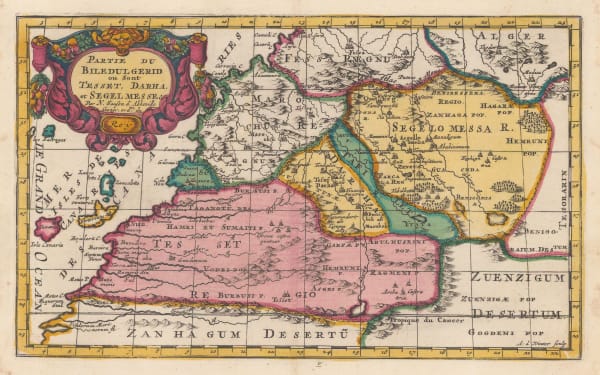
Samuel Purchas, Early map of southern Morocco, 1625£ 295.00
-
Willem & Jan Blaeu, Morocco orientated east to west, 1650 c.£ 925.00
-
Nicolas Sanson, Kingdom of Morocco, 1655£ 675.00
-
Olfert Dapper, Morocco orientated east to west, 1670£ 425.00
-
Robert Morden, Miniature map of Morocco, 1688£ 225.00
-
Robert Morden, North & West Africa, 1688£ 125.00
-
Johannes van Keulen, Chart of the Western coast of Morocco, 1690 c.£ 525.00
-
Nicolas & Guillaume Sanson, Southern Morocco, 1692£ 195.00
-
Nicolas Sanson, West and Northwest Africa, 1700£ 475.00
-
Nicolas Sanson, Kingdom of Fez (northern Morocco), 1700£ 345.00
-
Nicolas & Guillaume Sanson, Southern Morocco and Western Sahara, 1700£ 325.00
-
Guillaume De L'Isle, North & West Africa, 1707£ 445.00
-
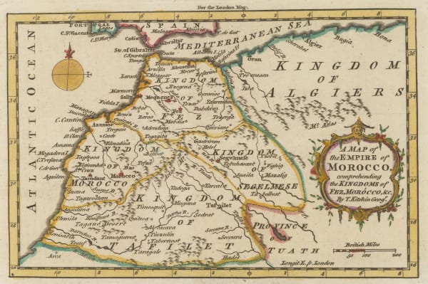
London Magazine, Morocco divided into the four historic kingdoms, 1760£ 85.00
-
Jacques-Nicolas Bellin, Morocco & Western Sahara, 1764£ 145.00
-
Emanuel Bowen, West Africa, 1766£ 645.00
-
Rigobert Bonne, Northwest Africa coast, Tangier to Sierra Leone, 1780 c.£ 90.00
-
Royal Geographical Society (RGS), Morocco and Marrakesh, 1831£ 395.00
-
Royal Geographical Society (RGS), Coast of Morocco and Western Sahara, 1836£ 65.00
-
Joseph Meyer, Morocco, 1844£ 195.00
-
Justus Perthes, Northern Morocco, 1865£ 68.00
-
Justus Perthes, French military expeditions in Morocco, 1872£ 68.00
-
Society for the Diffusion of Useful Knowledge (SDUK), North Africa or Barbary I - Marocco, 1875£ 185.00
-
Guido Cora, Italian city plan of Marrakech, 1884£ 325.00
-
Royal Geographical Society (RGS), Northwest Morocco showing desert tribes, 1889£ 95.00
-
Royal Geographical Society (RGS), Map of South Western Morocco, 1889£ 45.00
-
Arbuckle Brothers Company, Morocco, 1889£ 98.00
-
Nestor Larras, French Army Map of Casablanca and Environs, 1910£ 395.00
-
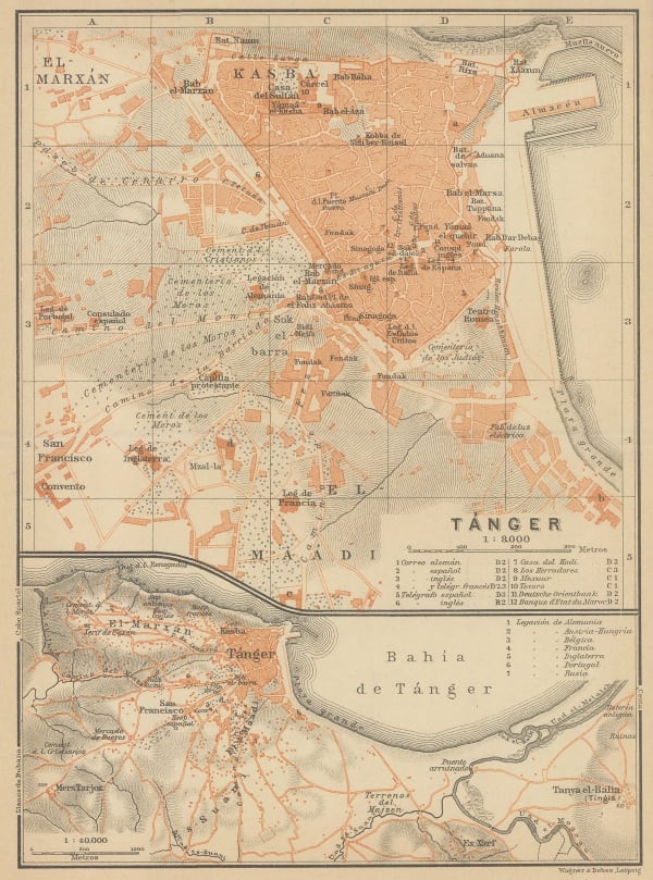
Karl Baedeker, Tourist plan of Tangier (Tanger), 1911£ 42.00
-
Louis Gentil, Geological map of Morocco, 1920£ 945.00
-
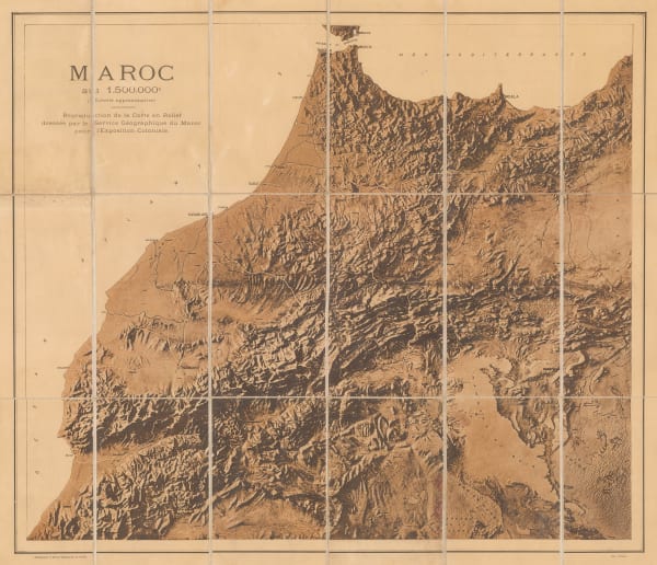
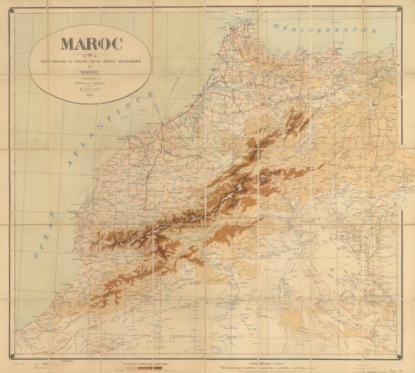
Service Géographique de l'Armée, Relief map of Morocco, 1920 c.£ 250.00
-
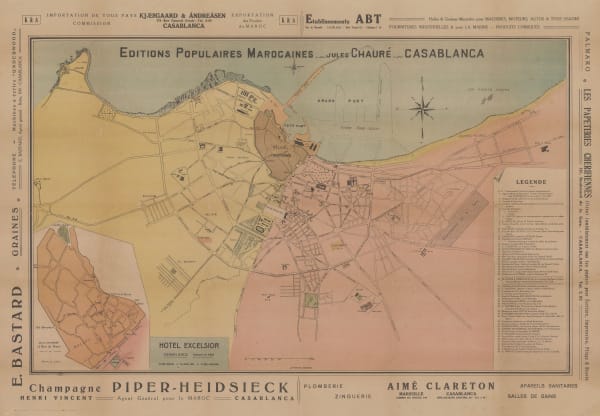
Jules Chaure, Tourist Map of Casablanca, Morocco, 1920 c.£ 445.00
-
Service Géographique de l'Armée, Southern Morocco, 1924£ 225.00
-
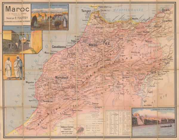
E. Toutey, Folding wall map of Morocco, 1925 c.£ 975.00
-
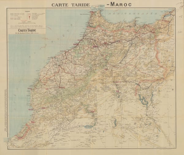
Cartes Tarides, Vintage folding map of Morocco, 1926 c.£ 545.00
-
Service Géographique de l'Armée, Folding vintage map of Morocco, 1930£ 375.00
-
Service Géographique de l'Armée, Vintage map of Marrakesh, 1930£ 475.00
-
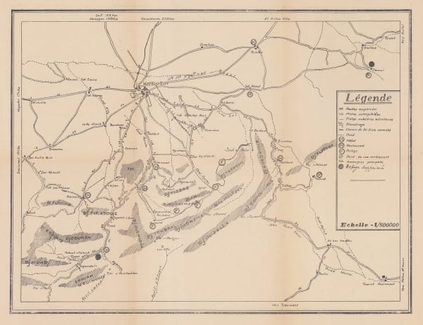
Anonymous, Environs of Marrakesh, 1930 c£ 68.00
-
Cartes Tarides, Morocco based on French army surveys, 1930 c.£ 595.00
-
Editions France Afrique, Vintage folding plan of Marrakesh, 1930 c.£ 845.00
-
Service Géographique de l'Armée, Vintage map of Western Morocco, 1932£ 325.00
-
Jean Gaston Mantel, Vintage pictorial map of Morocco, 1958£ 575.00
-
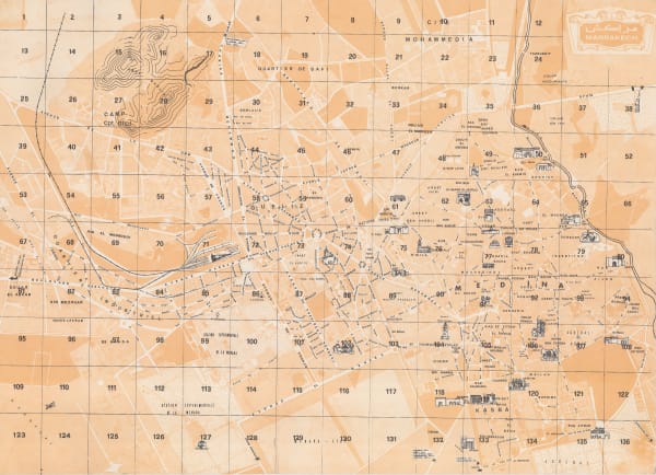
Anonymous, Marrakech, 1960 c.£ 345.00
Close
Search Inventory
Our entire inventory of over 10,000 antique and vintage maps is now available to browse by region, date, cartographer, and subject


Join our mailing list
* denotes required fields
We will process the personal data you have supplied to communicate with you in accordance with our Privacy Policy. You can unsubscribe or change your preferences at any time by clicking the link in our emails.
![]()
Join our mailing list
* denotes required fields
We will process the personal data you have supplied to communicate with you in accordance with our Privacy Policy. You can unsubscribe or change your preferences at any time by clicking the link in our emails.