-
 Martin Waldseemüller & Laurent Fries, West Africa, 1541£ 2,550.00
 -
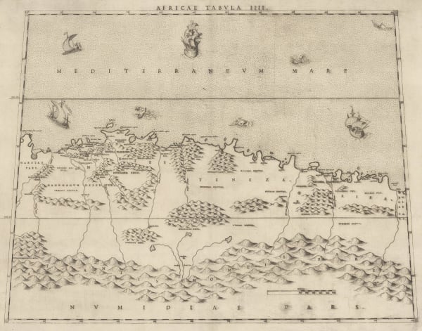
Claudius Ptolemy & Laurent Fries, Algeria, Tunisia & Libya, 1541£ 695.00
-
Early woodcut map of West Africa and the Gulf of Guinea, 1556Giovanni Battista RamusioSeries: VeniceGiovanni Battista Ramusio, Early woodcut map of West Africa and the Gulf of Guinea, 1556£ 3,650.00
-
Antoine Du Pinet, Very early woodcut view of Algiers, 1564£ 425.00
-
Giulio & Livio Sanuto, Rare Ptolemaic Map of North Africa, 1588£ 985.00
-
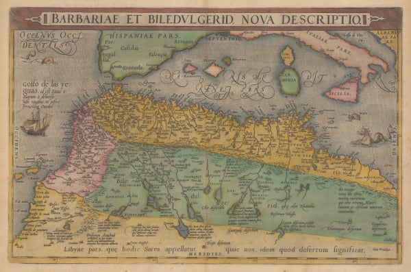
Abraham Ortelius, Northern Africa or Barbary Coast, 1601£ 1,850.00
-
Robert Morden, A New Map of the Kingdome of Algier, 1688£ 185.00
-
Robert Morden, North & West Africa, 1688£ 125.00
-
Nicolas Sanson, West and Northwest Africa, 1700£ 475.00
-
Guillaume De L'Isle, North & West Africa, 1707£ 445.00
-
Pierre Mortier, Chart of the southern Mediterranean and coast of North Africa, 1708£ 3,000.00
-
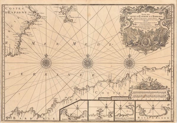
Henri Michelot and Laurent Brémond, Western Mediterranean, Coast of Spain and Algeria, 1723£ 1,550.00
-
Jacques-Nicolas Bellin, Chart of Mers El Kébir harbour and castle, 1764£ 65.00
-
Emanuel Bowen, West Africa, 1766£ 645.00
-
Rigobert Bonne, Northwest Africa coast, Tangier to Sierra Leone, 1780 c.£ 90.00
-
Society for the Diffusion of Useful Knowledge (SDUK), Algerian coast from Bonah to Magrowah, 1834£ 86.00
-
Royal Geographical Society (RGS), Route of Sir Grenville Temple from Bonah to Kostantinah, 1838£ 58.00
-
John Tallis, Northern Africa, 1851£ 275.00
-
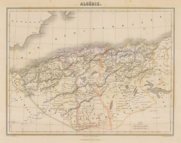
Victor Levasseur, Algérie (Northern Algeria), 1860 c.£ 195.00
-
Justus Perthes, Sahara, 1861£ 62.00
-
Justus Perthes, Algeria and Libya, 1863£ 65.00
-
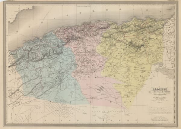
Alexandre Vuillemin, Folding map of Algeria, 1871£ 295.00
-
Carl Muller, North Africa coast during the Classical period, 1873£ 50.00
-
A. Simon, Algier. (1886), 1886£ 175.00
-
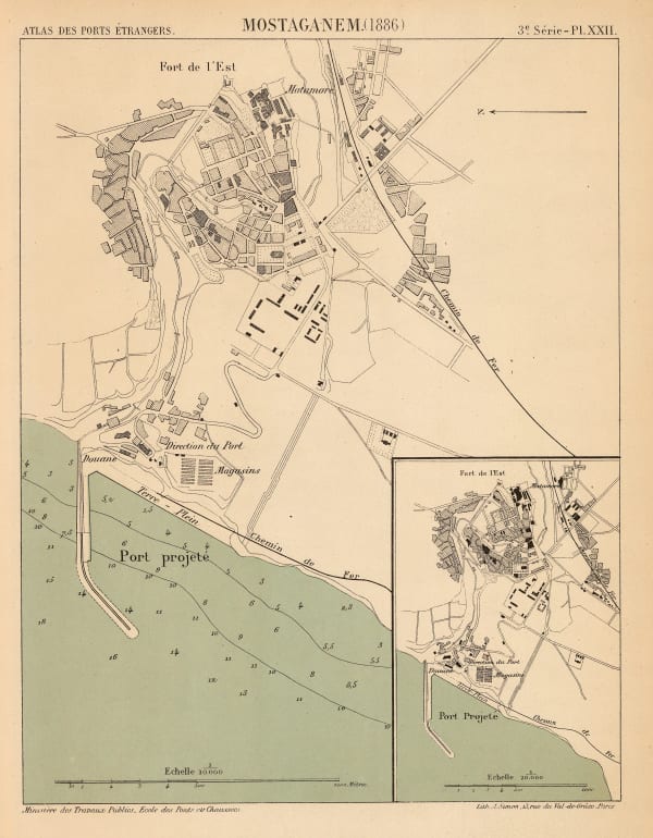
A. Simon, Mostaganem. (1886), 1886£ 62.00
-
J. Migeon, Algeria, 1890 c.£ 48.00
-
Letts & Son, Algeria, 1892£ 52.00
-
Scottish Geographical Society (SGS), Sketch Maps Illustrating the Physical and Political Geography of Algeria, 1894£ 58.00
-
Garnier Frères, Morocco, Algeria & Tunisia, 1900 c.£ 195.00
-
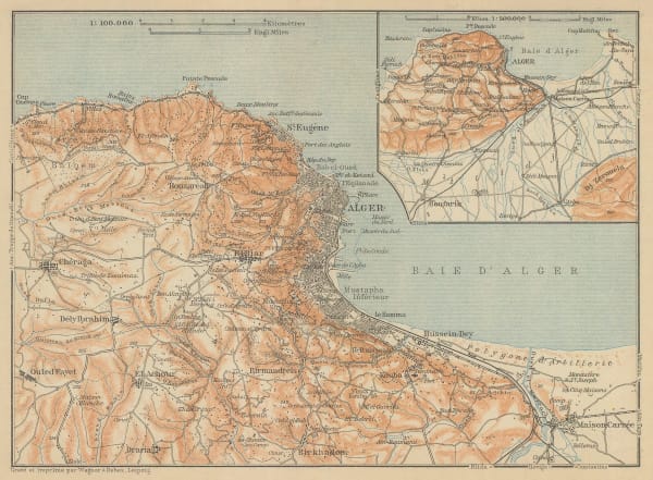
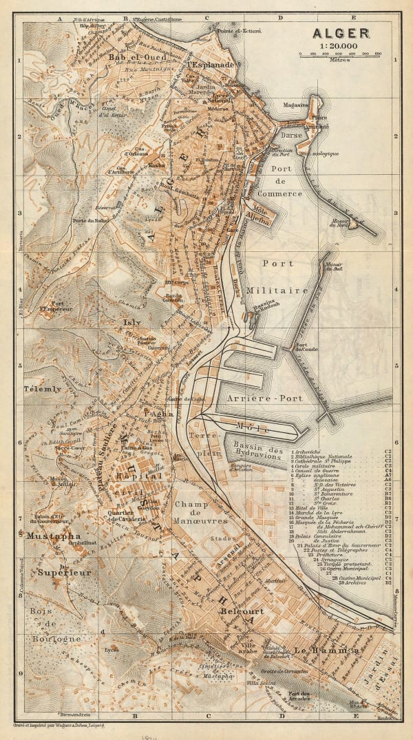
Karl Baedeker, Algiers, 1911£ 38.00
-
Karl Baedeker, Algeria, Tunisia & Libya, 1911£ 38.00
-
Karl Baedeker, Miniature plan of Algiers, 1934£ 48.00
Close
Search Inventory
Our entire inventory of over 10,000 antique and vintage maps is now available to browse by region, date, cartographer, and subject


Join our mailing list
* denotes required fields
We will process the personal data you have supplied to communicate with you in accordance with our Privacy Policy. You can unsubscribe or change your preferences at any time by clicking the link in our emails.
![]()
Join our mailing list
* denotes required fields
We will process the personal data you have supplied to communicate with you in accordance with our Privacy Policy. You can unsubscribe or change your preferences at any time by clicking the link in our emails.