-
 Giulio & Livio Sanuto, Africae Tabvla VIII, 1588£ 985.00
 -
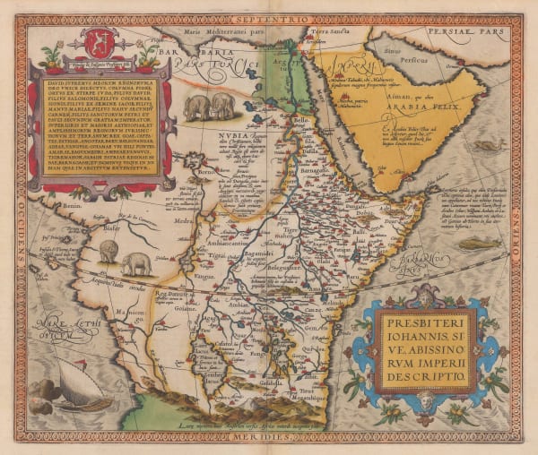
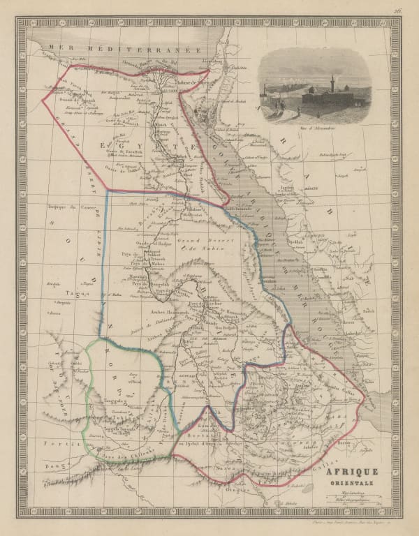
Abraham Ortelius, The Empire of Prester John, 1595£ 3,450.00
-
Mercator Hondius, The Empire of Prester John, 1619£ 1,850.00
-
Samuel Purchas, Kingdom of Abyssinia, 1625£ 395.00
-
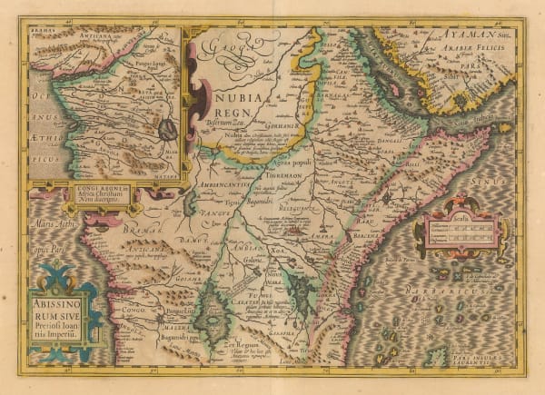
Willem & Jan Blaeu, The Empire of Prester John, 1640 c.£ 1,850.00
-
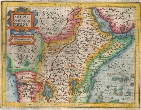
Mercator Hondius, The Empire of Prester John, 1651£ 375.00
-
Jan Jansson, The Empire of Prester John, 1666£ 1,250.00
-
Robert Morden, Kingdom of Abyssinia (Ethiopia, Eritrea, and Djibouti), 1688£ 145.00
-
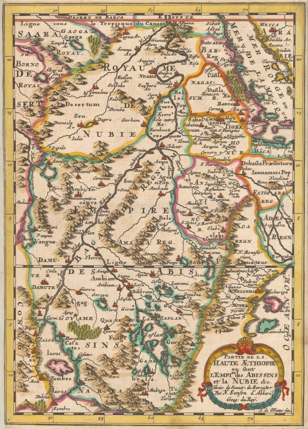
Nicolas & Guillaume Sanson, Ethiopia & Nubia, 1692£ 245.00
-
Pierre Duval, Ethiopia & Sudan, 1694£ 225.00
-
Pierre Mortier, Chart of the principal ports and settlements along the coast of the Red Sea, 1700£ 795.00
-
Valk & Schenk, Abyssinia and the Kingdom of Prester John, 1710 c.£ 725.00
-
Covens (Jean) & Mortier (Cornelius), The Empire of Prester John, 1715 c.£ 850.00
-
Covens (Jean) & Mortier (Cornelius), Northeast Africa and the Arabian Peninsula, 1730 c.£ 735.00
-
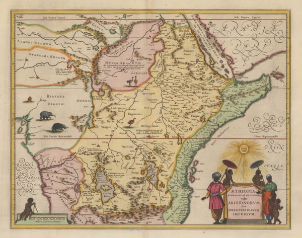
Henri du Sauzet, The Empire of Prester John, 1734£ 325.00
-
Willem Albert Bachiene, Southern Egypt, Sudan, Eritrea and Ethiopia, 1781£ 445.00
-
Jean Lattre, Egypt, Sudan and Ethiopia, 1782£ 75.00
-
Antonio Zatta, Nubia (Sudan) and Abyssinia (Ethiopia and Eritrea), 1784£ 125.00
-
John Pinkerton, Abyssinia, Nubia & c., 1814£ 175.00
-
John Thomson, Abyssinia, 1817£ 145.00
-
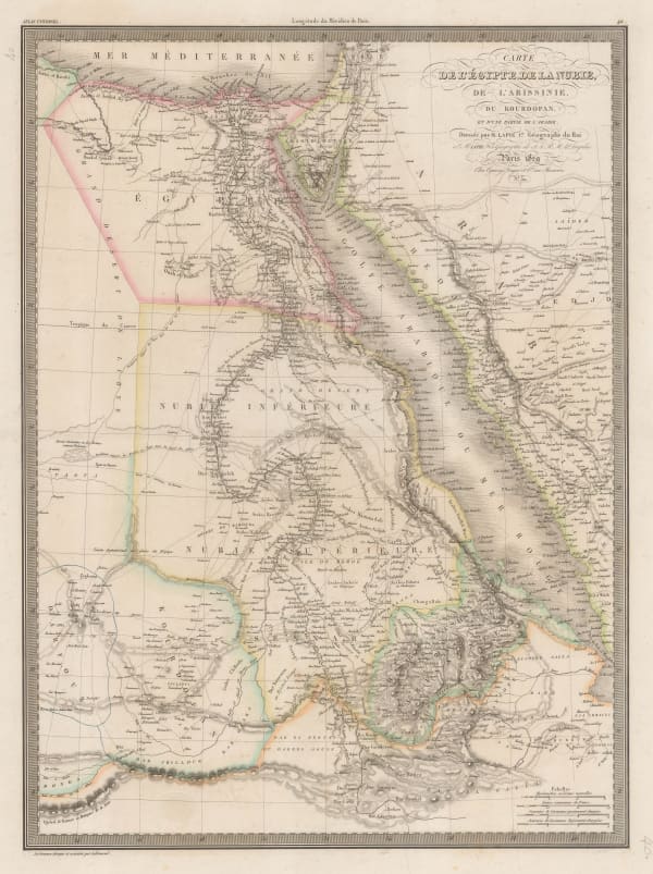
Alexandre Emile Lapie, Egypt, the Nile Valley, Sudan, Eritrea, and parts of Ethiopia, 1829£ 140.00
-
Royal Geographical Society (RGS), Isenberg & Krapf's route from Tajurrah to Shoa in 1840, 1840£ 58.00
-
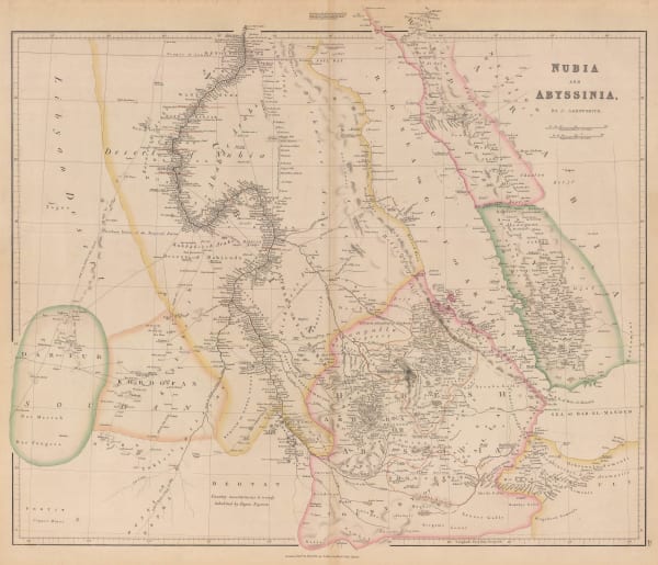
John Arrowsmith, Nubia and Abyssinia, 1840£ 375.00
-
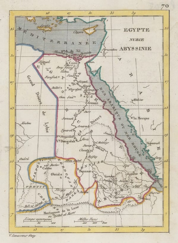
Victor Levasseur, Miniature map of north-eastern Africa, 1840 c.£ 35.00
-
Royal Geographical Society (RGS), Map Illustrating Dr. Beke's Journey through Abyssinia, 1844£ 175.00
-
Peter Jackson, Nubia and Abyssinia, 1850 c.£ 46.00
-
Charles V. Monin, Egypt, Sudan, South Sudan, Eritrea and part of Ethiopia, 1853£ 44.00
-
Justus Perthes, The Red Sea, 1860£ 78.00
-
Archibald Fullarton, Abyssinia, 1860 c.£ 68.00
-
Archibald Fullarton, Ethiopia & Central Africa, 1860 c.£ 195.00
-
Edward Weller, Egypt, Nubia, Abyssinia and the Red Sea, 1863£ 125.00
-
Royal Geographical Society (RGS), Line of March from Adigerat to the River Takkazye, 1868£ 195.00
-
Royal Geographical Society (RGS), Map Showing the Line of March from the Coast to Adigerat, 1868£ 195.00
-
Justus Perthes, Sketch map of the Ethiopian Highlands, 1868£ 78.00
-
Royal Geographical Society (RGS), Wadela and Dalanta Plateux and Magdala, 1868£ 195.00
-
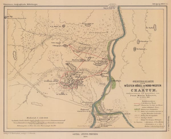
Justus Perthes, Khartoum region, 1884£ 125.00
-
Royal Geographical Society (RGS), European Territorial claims on the coats of the Red Sea, 1885£ 155.00
-
Royal Geographical Society (RGS), Lake Turkana (Rudolf), Kenya, 1898£ 125.00
-
Royal Geographical Society (RGS), Map to Illustrate Explorations in North East Africa, 1900£ 325.00
-
Edward Hertslet, Sudan and Ethiopia, 1909£ 65.00
-
Royal Geographical Society (RGS), The Jubilee of Speke's Discovery of Victoria Nyanza, 1909£ 425.00
-
Royal Geographical Society (RGS), Southern Abyssinia, 1911£ 385.00
-
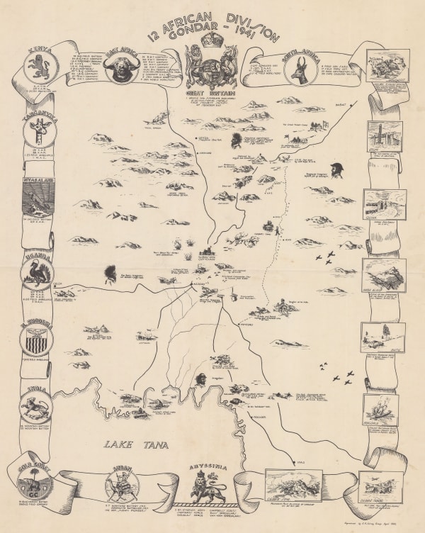
East African Survey Group, British Army, WWII commemorative map of northern Ethiopia, 1942£ 495.00
Close
Search Inventory
Our entire inventory of over 10,000 antique and vintage maps is now available to browse by region, date, cartographer, and subject


Join our mailing list
* denotes required fields
We will process the personal data you have supplied to communicate with you in accordance with our Privacy Policy. You can unsubscribe or change your preferences at any time by clicking the link in our emails.
![]()
Join our mailing list
* denotes required fields
We will process the personal data you have supplied to communicate with you in accordance with our Privacy Policy. You can unsubscribe or change your preferences at any time by clicking the link in our emails.