-
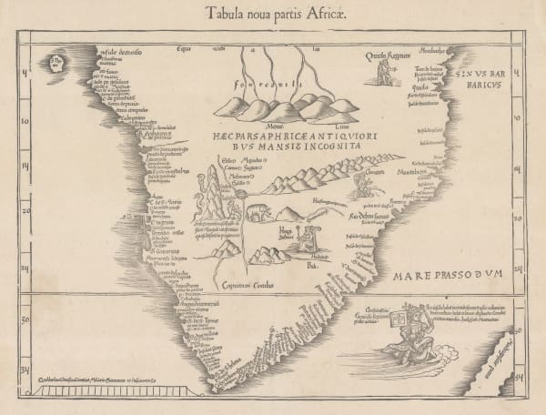
 Martin Waldseemüller & Laurent Fries, The Second Printed Map of Southern Africa, 1541£ 4,950.00
 -
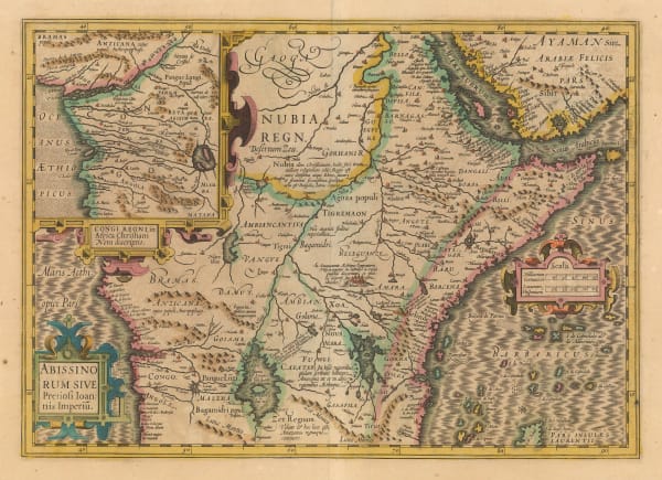
 Mercator Hondius, The Empire of Prester John, 1619£ 1,850.00
 -
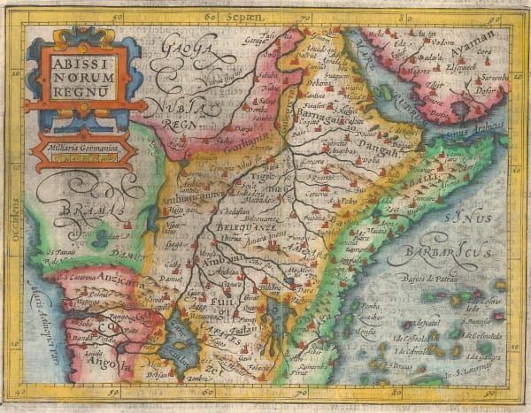
 Samuel Purchas, Kingdom of Abyssinia, 1625£ 395.00
 -
 Samuel Purchas, Kingdom of Congo, 1625£ 225.00
 -
 Willem & Jan Blaeu, Southern & Central Africa, 1640 c.£ 1,250.00
 -
 Willem & Jan Blaeu, The Empire of Prester John, 1640 c.£ 1,850.00
 -
 Matthäus Merian, Kingdom of Congo & Angola, 1650 c.£ 575.00
 -
 Mercator Hondius, The Empire of Prester John, 1651£ 375.00
 -
 Athanasius Kircher, The Source of the Nile in the Mountains of the Moon, 1665£ 1,750.00
 -
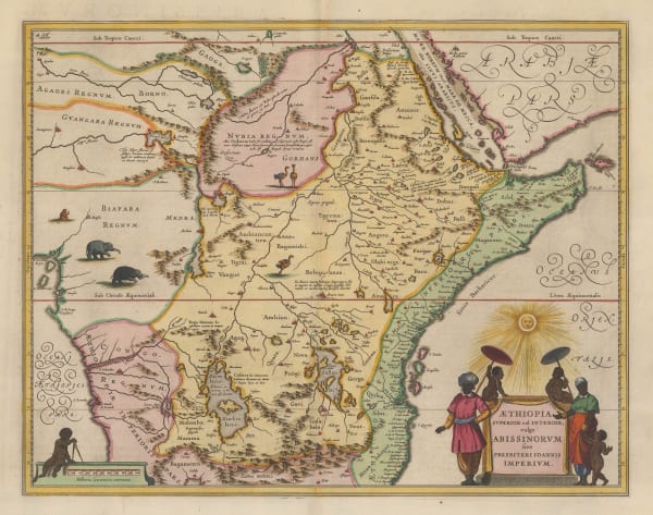
 Jan Jansson, The Empire of Prester John, 1666£ 1,250.00
 -
 Robert Morden, Congo, Angola & Gabon, 1688£ 265.00
 -
 Pierre Mortier, Sea chart of Luanda, Angola, 1700£ 1,200.00
 -
 Nicolas & Guillaume Sanson, Kingdom of Congo, 1700£ 495.00
 -
 Nicolas de Fer, Southern & Central Africa, 1702£ 795.00
 -
 Covens (Jean) & Mortier (Cornelius), The Empire of Prester John, 1715 c.£ 850.00
 -
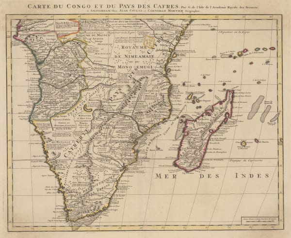
 Covens (Jean) & Mortier (Cornelius), Southern & Central Africa, 1730 c.£ 1,250.00
 -
 Henri du Sauzet, The Empire of Prester John, 1734£ 325.00
 -
 George Child, The Kingdoms of Congo, Angola, & Benguela, 1740 c.£ 165.00
 -
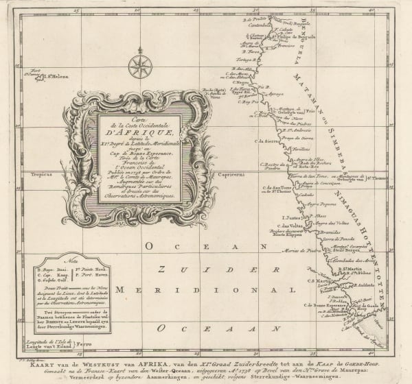
 Jacob van der Schley, Chart of the coast of Angola, Namibia, and South Africa, 1747£ 175.00
 -
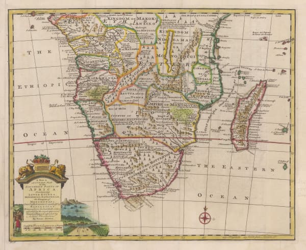
 Emanuel Bowen, A New & Accurate Map of the Southern Parts of Africa, 1747£ 695.00
 -
 Jacques-Nicolas Bellin, Luanda, Angola, 1748£ 72.00
 -
 Jacques-Nicolas Bellin, Benguela, Angola, 1748£ 62.00
 -
 Jacques-Nicolas Bellin, Bay of Benguela, Angola, 1764£ 145.00
 -
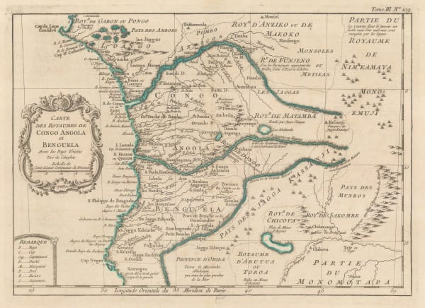
 Jacques-Nicolas Bellin, Kingdoms of Congo & Angola, 1764£ 225.00
 -
 Malachy Postlethwayt, West Africa with a list of European Settlements, 1766£ 1,450.00
 -
 Rigobert Bonne, West Africa & the Gulf of Guinea, 1771£ 195.00
 -
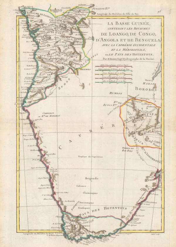
 Rigobert Bonne, Southern Africa, 1790 c.£ 150.00
 -
 Charles Francois Delamarche, Southern & Central Africa, 1795£ 325.00
 -
 Adrien Brue, Southern Africa & the Cape Colony, 1828 c.£ 250.00
 -
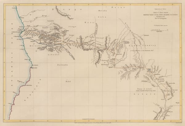
 Royal Geographical Society (RGS), Livingstone's route from Angola to the Zambezi, 1855£ 175.00
 -
 Royal Geographical Society (RGS), Livingstone's route from Botswana to Angola, 1855£ 225.00
 -
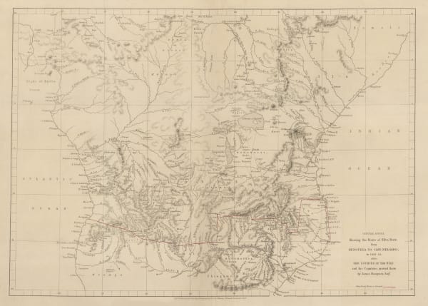
 Royal Geographical Society (RGS), Southern Central Africa, 1856£ 225.00
 -
 Royal Geographical Society (RGS), Portuguese Exploration in Central Africa, 1859£ 385.00
 -
 Joseph Hutchins Colton, Southern Africa, 1861£ 165.00
 -
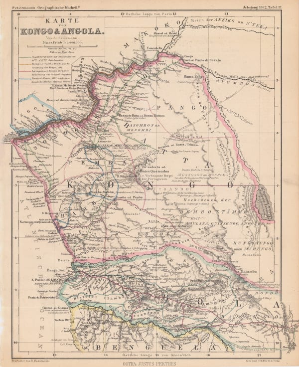
 Justus Perthes, Exploration of Congo & Angola, 1862£ 125.00
 -
 Royal Geographical Society (RGS), The Discovery of Lake Malawi (Nyasa), 1863£ 175.00
 -
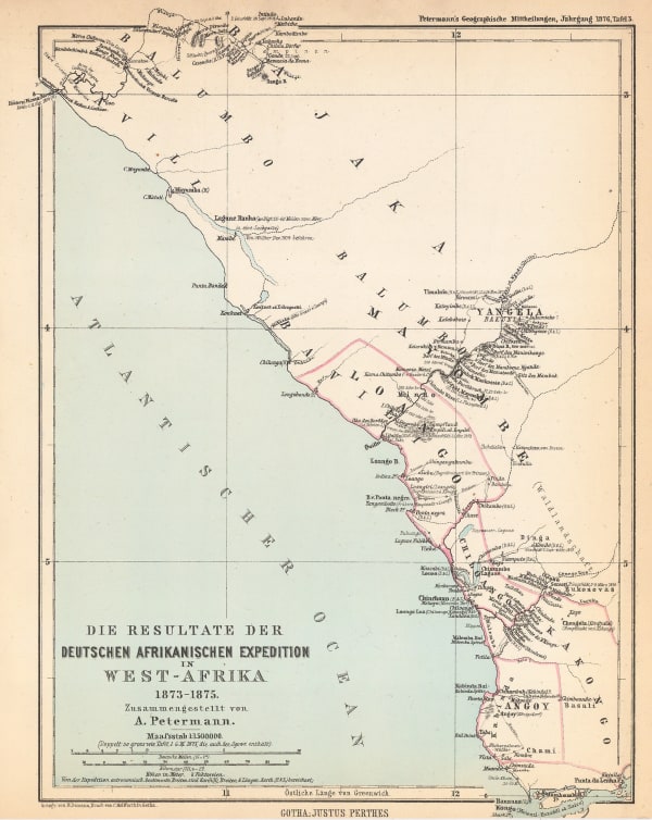
 Justus Perthes, German Africa Expedition to Congo & Gabon, 1876£ 68.00
 -
 Royal Geographical Society (RGS), Reduction of Lieut. Cameron's Preliminary Map of his Route & The Adjacent Country between Lake Tanganyika & Lovale, 1876£ 645.00
 -
 F.A. Brockhaus, Stanley's discoveries in the Congo River Basin, 1878 c.£ 1,250.00
 -
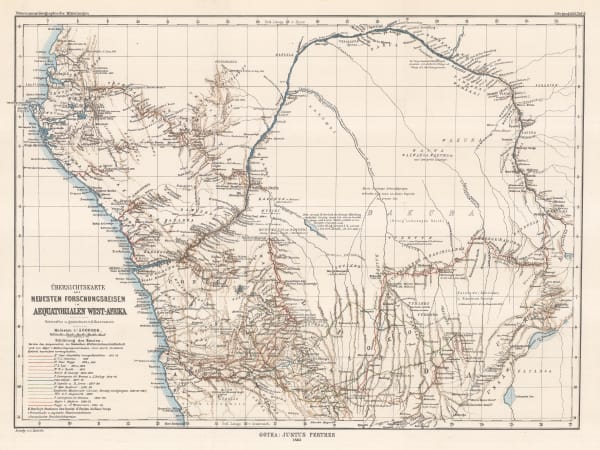
 Justus Perthes, European Exploration of the Congo, 1883£ 195.00
 -
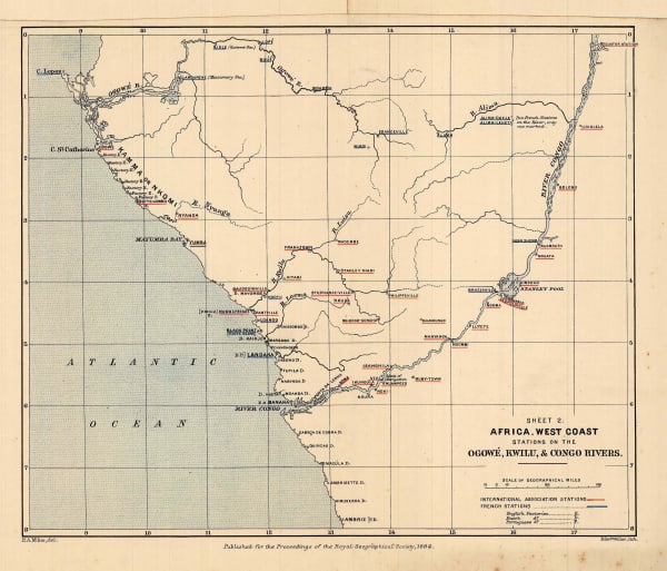
 Royal Geographical Society (RGS), European Trading Posts in Congo, Angola & Gabon, 1884£ 245.00
 -
 Royal Geographical Society (RGS), Congo Free State, Angola & Gabon, 1885£ 175.00
 -
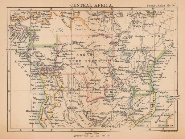
 J.G. Bartholomew, Central Africa, 1887£ 42.00
 -
 Royal Geographical Society (RGS), F.S. Arnot's Routes across Southern Africa, 1889£ 255.00
 -
 Scottish Geographical Society (SGS), Stanley's Emin Pasha Expedition, 1890£ 775.00
 -
 Royal Geographical Society (RGS), Journeys in Angola, 1904£ 115.00
Angola
Our entire inventory of over 10,000 antique and vintage maps is now available to browse by region, date, cartographer, and subject

