-
 War Office, Lake Victoria, 1917£ 595.00
 -
Royal Geographical Society (RGS), East Africa, 1918£ 525.00
-
J.G. Bartholomew, East Africa, 1922£ 145.00
-
Ministère des Colonies, Rare folding map of Rwanda and Burundi, 1924£ 950.00
-
John Truscott, Road Map of Kenya Colony, 1925 (c.)£ 550.00
-
Royal Geographical Society (RGS), Boundaries in East Africa, 1926£ 145.00
-
Geographical Section, General Staff (GSGS), Kenya Colony, 1927£ 875.00
-
George Philip & Son Ltd., Philips' New Wall Map of East Africa, 1930 c.£ 1,250.00
-
Royal Geographical Society (RGS), Rwenzori Mountains, 1933£ 225.00
-
George Philip & Son Ltd., Map of Tanganyika Territory, 1933£ 875.00
-
WWII commemorative map of northern Ethiopia, 1942East African Survey Group, British ArmySeries: East AfricaEast African Survey Group, British Army, WWII commemorative map of northern Ethiopia, 1942£ 495.00
-
Geographical Section, General Staff (GSGS), Tanganyika (Tanzania), 1943£ 445.00
-
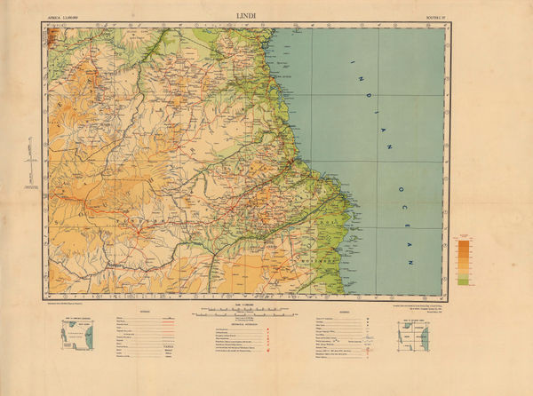
Tanganyika Survey, Southeastern Tanzania, 1947£ 385.00
-
Sudan Survey Department, Khartoum, 1952£ 1,250.00
-
Geographical Section, General Staff (GSGS), Tribal Map of East Africa, 1953£ 795.00
-
Survey of Kenya, Nairobi, 1955£ 925.00
-
Map of Nairobi National Park with a list of Bird and Animal Species, 1970Survey of KenyaSeries: NairobiSurvey of Kenya, Map of Nairobi National Park with a list of Bird and Animal Species, 1970£ 395.00


Page
3
of 3