-
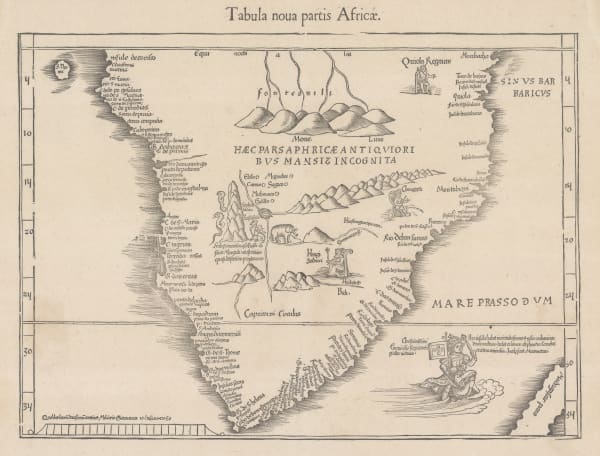
 Martin Waldseemüller & Laurent Fries, The Second Printed Map of Southern Africa, 1541£ 4,950.00
 -
 Giulio & Livio Sanuto, Africae Tabvla VIII, 1588£ 985.00
 -
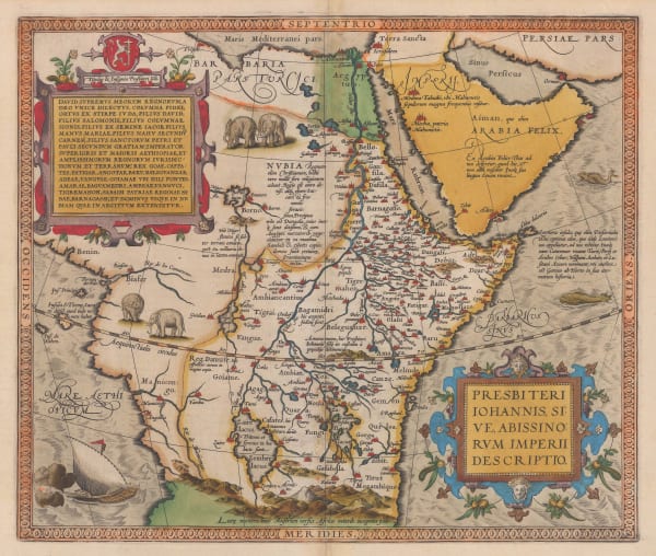
 Abraham Ortelius, The Empire of Prester John, 1595£ 3,450.00
 -

-
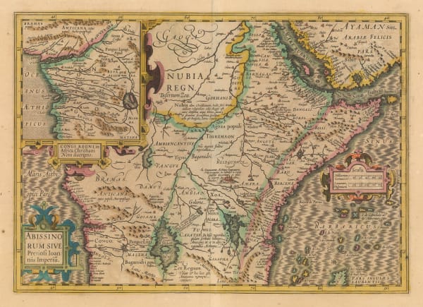
 Mercator Hondius, The Empire of Prester John, 1619£ 1,850.00
 -
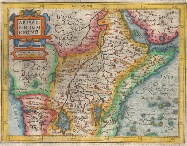
 Samuel Purchas, Kingdom of Abyssinia, 1625£ 395.00
 -
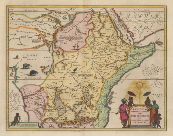
 Willem & Jan Blaeu, The Empire of Prester John, 1640 c.£ 1,850.00
 -
 Mercator Hondius, The Empire of Prester John, 1651£ 375.00
 -
 Jan Jansson, The Empire of Prester John, 1666£ 1,250.00
 -
 Pierre Duval, Miniature map of Nubia (Sudan), 1680 c.£ 85.00
 -
 Robert Morden, Kingdom of Abyssinia (Ethiopia, Eritrea, and Djibouti), 1688£ 145.00
 -
 Johann Ulrich Muller, Nubia (Sudan), 1692£ 80.00
 -
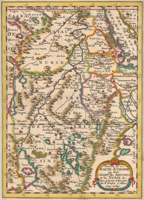
 Nicolas & Guillaume Sanson, Ethiopia & Nubia, 1692£ 245.00
 -
 Pierre Duval, Ethiopia & Sudan, 1694£ 225.00
 -
 Pierre Mortier, Chart of the principal ports and settlements along the coast of the Red Sea, 1700£ 795.00
 -
 Nicolas Sanson, East coast of Africa, 1700£ 475.00
 -
 Pierre Mortier, Chart of the coast of Mozambique, 1708£ 925.00
 -
 Valk & Schenk, Abyssinia and the Kingdom of Prester John, 1710 c.£ 725.00
 -
 Covens (Jean) & Mortier (Cornelius), The Empire of Prester John, 1715 c.£ 850.00
 -
 Covens (Jean) & Mortier (Cornelius), Northeast Africa and the Arabian Peninsula, 1730 c.£ 735.00
 -
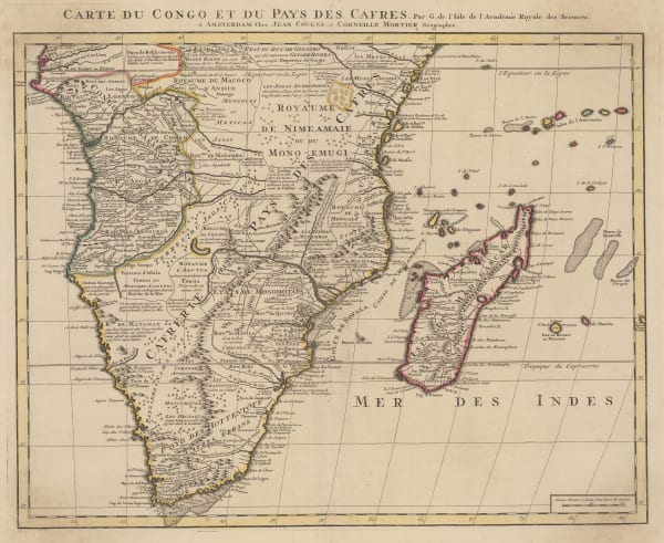
 Covens (Jean) & Mortier (Cornelius), Southern & Central Africa, 1730 c.£ 1,250.00
 -
 Henri du Sauzet, The Empire of Prester John, 1734£ 325.00
 -
 Jacques-Nicolas Bellin, Chart of East Africa coast, 1740£ 275.00
 -
 Jacob van der Schley, Eastern Coast of Africa, 1747£ 245.00
 -
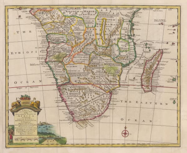
 Emanuel Bowen, A New & Accurate Map of the Southern Parts of Africa, 1747£ 695.00
 -
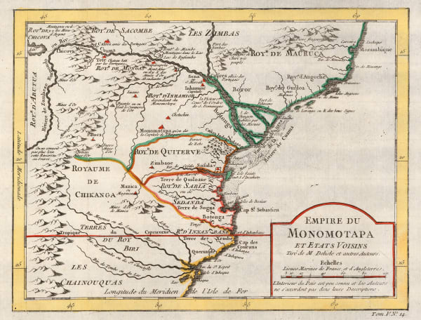
 Jacques-Nicolas Bellin, Empire of Monomotapa (Mozambique), 1748£ 175.00
 -
 Willem Albert Bachiene, Southern Egypt, Sudan, Eritrea and Ethiopia, 1781£ 445.00
 -
 Jean Lattre, Egypt, Sudan and Ethiopia, 1782£ 75.00
 -
 Antonio Zatta, Nubia (Sudan) and Abyssinia (Ethiopia and Eritrea), 1784£ 125.00
 -
 Charles Francois Delamarche, Southern & Central Africa, 1795£ 325.00
 -
 John Pinkerton, Abyssinia, Nubia & c., 1814£ 175.00
 -
 John Thomson, Abyssinia, 1817£ 145.00
 -
 Adrien Brue, Southern Africa & the Cape Colony, 1828 c.£ 250.00
 -
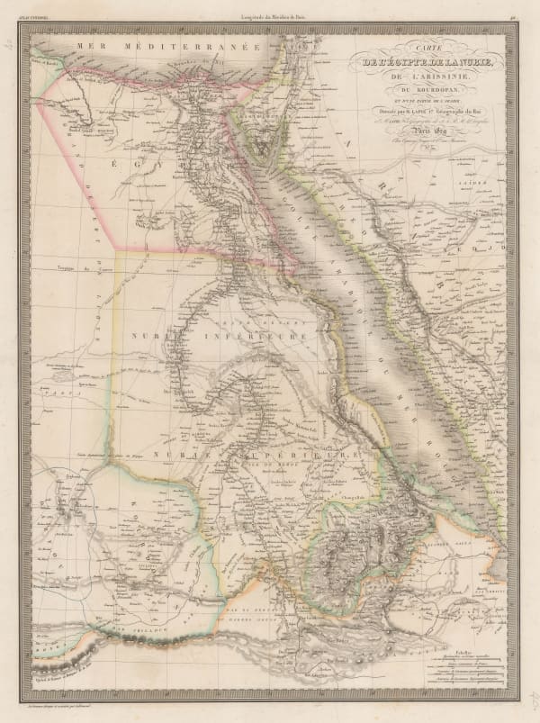
 Alexandre Emile Lapie, Egypt, the Nile Valley, Sudan, Eritrea, and parts of Ethiopia, 1829£ 140.00
 -
 Royal Geographical Society (RGS), Sennar State, Sudan, 1835£ 76.00
 -
 Rest Fenner, Egypt, 1836£ 75.00
 -
 Royal Geographical Society (RGS), The Nile from Essuan to Al-Leis to Illustrate a Journey to Kordofan, 1839£ 85.00
 -
 Royal Geographical Society (RGS), Isenberg & Krapf's route from Tajurrah to Shoa in 1840, 1840£ 58.00
 -
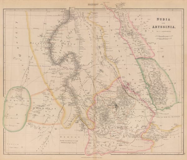
 John Arrowsmith, Nubia and Abyssinia, 1840£ 375.00
 -
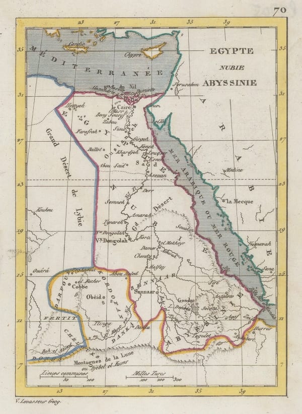
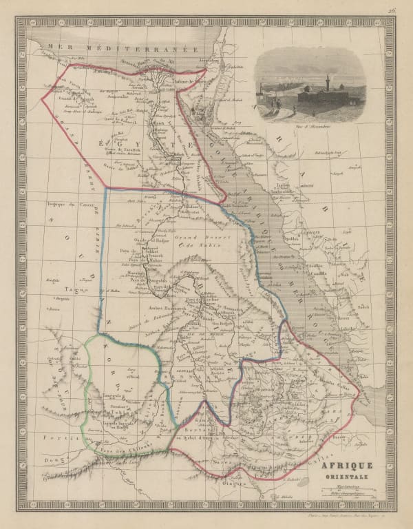
 Victor Levasseur, Miniature map of north-eastern Africa, 1840 c.£ 35.00
 -
 Royal Geographical Society (RGS), Map Illustrating Dr. Beke's Journey through Abyssinia, 1844£ 175.00
 -
 Royal Geographical Society (RGS), Southern Somalia, 1844£ 78.00
 -
 Peter Jackson, Nubia and Abyssinia, 1850 c.£ 46.00
 -
 Charles V. Monin, Egypt, Sudan, South Sudan, Eritrea and part of Ethiopia, 1853£ 44.00
 -
 Royal Geographical Society (RGS), Southern Central Africa, 1856£ 225.00
 -
 Justus Perthes, Kenya and Tanzania, 1856£ 595.00
 -
 Royal Geographical Society (RGS), The Mythical Sea of Uniamesi &c., 1856£ 295.00
 -
 Royal Geographical Society (RGS), Burton & Speke's exploratory route in Tanzania, 1859£ 195.00
 -
 Justus Perthes, The Red Sea, 1860£ 78.00
 -
 Archibald Fullarton, Abyssinia, 1860 c.£ 68.00
 -
 Archibald Fullarton, Ethiopia & Central Africa, 1860 c.£ 195.00
 -
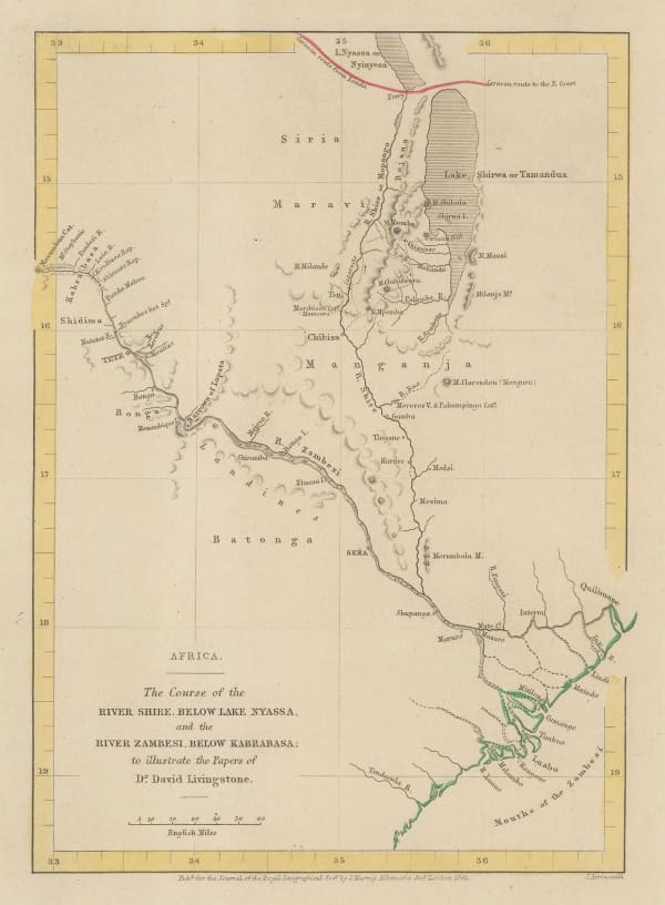
 Royal Geographical Society (RGS), Courses of the Zambezi and Shire rivers, 1861£ 125.00
 -
 Justus Perthes, Sudan & the Sahara, 1861£ 155.00
 -
 Justus Perthes, Sudan & Egypt, 1862£ 115.00
 -
 Edward Weller, Egypt, Nubia, Abyssinia and the Red Sea, 1863£ 125.00
 -
 W. & A.K. Johnston, Map of Eastern Equatorial Africa, 1864£ 975.00
 -
 Royal Geographical Society (RGS), White Nile and its tributaries, 1865£ 165.00
 -
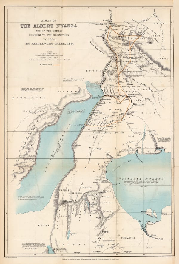
 Royal Geographical Society (RGS), The Discovery of Lake Albert, 1866£ 645.00
 -
 Royal Geographical Society (RGS), Line of March from Adigerat to the River Takkazye, 1868£ 195.00
 -
 Royal Geographical Society (RGS), Map Showing the Line of March from the Coast to Adigerat, 1868£ 195.00
 -
 Justus Perthes, Sketch map of the Ethiopian Highlands, 1868£ 78.00
 -
 Royal Geographical Society (RGS), Wadela and Dalanta Plateux and Magdala, 1868£ 195.00
 -
 Royal Geographical Society (RGS), Caravan routes in Kenya and Tanzania, 1870£ 725.00
 -
 Justus Perthes, Exploration of Zambia, Malawi & Tanzania, 1870£ 78.00
 -
 Charton, Cameroon to South Sudan, 1870 c.£ 48.00
 -
 Royal Geographical Society (RGS), Map of Route from The Tati Settlement to Delagoa Bay, 1872£ 145.00
 -
 Royal Geographical Society (RGS), A Sketch map of Part of South Eastern Africa to Illustrate the Journeys of Dr Lacerda (1798) the Pombeiros (1806-11) and Major Monteiro (1831-32), 1873£ 395.00
 -
 Royal Geographical Society (RGS), Slave Caravan Route, 1874£ 195.00
 -
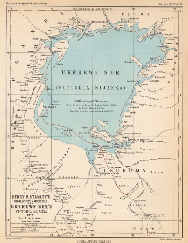
 Justus Perthes, Lake Victoria according to Stanley, Speke & Grant, 1875£ 125.00
 -
 Royal Geographical Society (RGS), Map of Lake Tanganyika from Ujiji to its Southern Extremity, 1875£ 325.00
 -
 Royal Geographical Society (RGS), Route Map of the Gasa Country, 1875£ 175.00
 -
 Royal Geographical Society (RGS), Lake Victoria and Uganda, 1876£ 110.00
 -
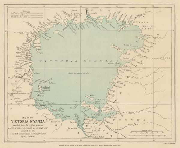
 Royal Geographical Society (RGS), Lake Victoria according to Stanley, Speke & Grant, 1876£ 225.00
 -
 Royal Geographical Society (RGS), Lake Victoria according to Stanley, Speke & Grant, 1876£ 295.00
 -
 Royal Geographical Society (RGS), Map of the Upper Nile, 1877£ 72.00
 -
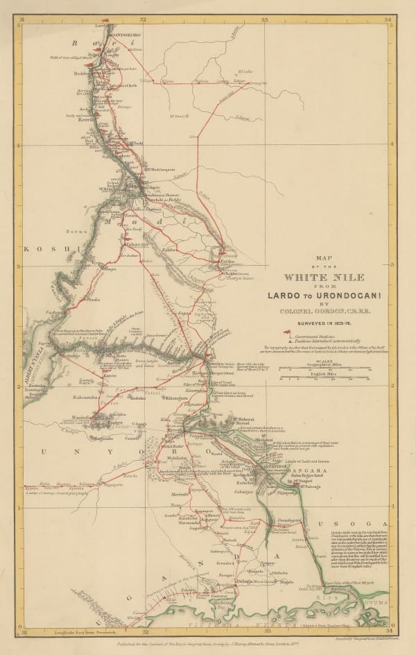
 Royal Geographical Society (RGS), White Nile from Lake Victoria to Gondokoro (Juba), South Sudan, 1877£ 145.00
 -
 Royal Geographical Society (RGS), Sketch Map of Native Routes from Dar Es Salaam Towards the Head of Lake Nyassa, 1879£ 125.00
 -
 Royal Geographical Society (RGS), Map of the Central Portion of South Africa Illustrating Dr. Holub's Journeys 1873-9, 1880£ 165.00
 -
 Royal Geographical Society (RGS), Map of the Route of the R.G.S. East African Expedition to Lakes Nyassa & Tanganyika, 1880£ 165.00
 -
 Royal Geographical Society (RGS), James Stewart's route between Lake Malawi and Lake Tanganyika, 1880£ 125.00
Page
1
of 3

