-
 Claudius Ptolemy & Laurent Fries, Africa according to Ptolemy, 1535£ 950.00
 -

-
 Sebastian Münster, Munster's Influential Map of Africa, 1568£ 2,950.00
 -

-
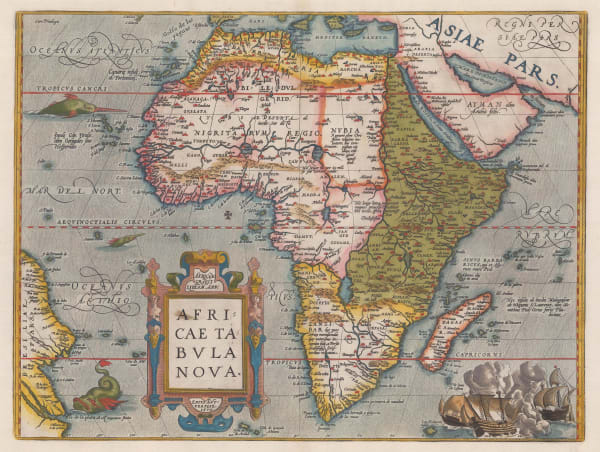
 Abraham Ortelius, One of the cornerstone maps of Africa, 1595 c.£ 3,950.00
 -

-
 Heinrich Bunting, Bunting's Unorthodox Map of Africa, 1600 c.£ 1,450.00
 -
 Matthias Quad, Early depiction of Africa, 1600 c.£ 1,350.00
 -
 Jodocus Hondius, Africa, 1611£ 3,950.00
 -
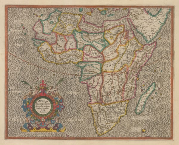
 Mercator Hondius, Africa, 1620 c.£ 2,850.00
 -
 Samuel Purchas, Early map of Africa, 1625£ 575.00
 -
 Matthäus Merian, Decorative map of Africa, 1649£ 925.00
 -

-
 Henricus Hondius, Decorative Dutch Golden Age map of Africa, 1653 c.£ 2,950.00
 -
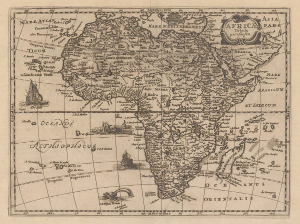
 Jacob van Meurs, Africa, 1668 c.£ 1,250.00
 -
 John Speed, John Speed's exquisite map of Africa, 1676£ 2,500.00
 -
 Nicolas Sanson, Africa, 1679£ 495.00
 -
 Robert Morden, Miniature Map of Africa, 1688£ 555.00
 -

-
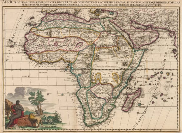
 Cornelis & Justus Danckerts, Africa, 1699 c.£ 1,950.00
 -

-
 Nicolas de Fer, French copper-engraved map of Africa, 1700£ 850.00
 -
 John Harris, Africa, 1705£ 385.00
 -
 Francois Halma, Africa, 1705 c.£ 3,850.00
 -
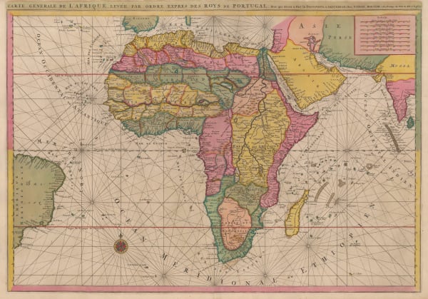
 Pierre Mortier, Map of the Coasts of Africa, 1708£ 1,750.00
 -
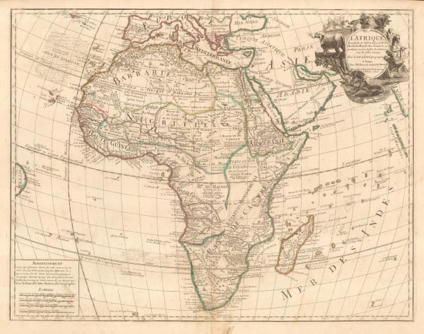
 Guillaume De L'Isle, Africa, 1708 c.£ 1,250.00
 -
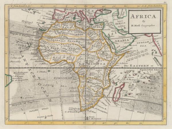
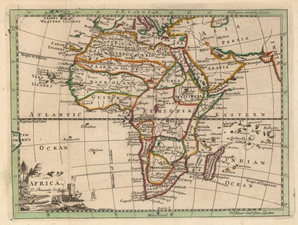
 Herman Moll, Africa, 1720 c.£ 225.00
 -

-
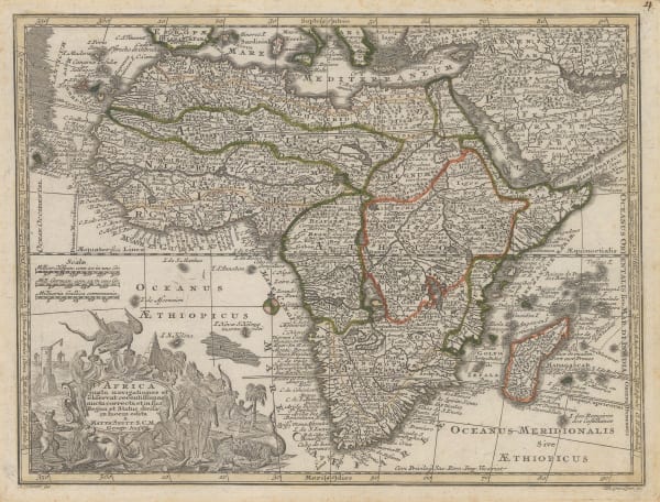
 Matthaus Seutter, Africa, 1740 c.£ 1,450.00
 -
 Covens (Jean) & Mortier (Cornelius), Africa, 1740 c.£ 1,550.00
 -
 Matthaus Seutter, Africa, 1745 c.£ 525.00
 -
 Elias Baeck, Africa, 1748£ 375.00
 -
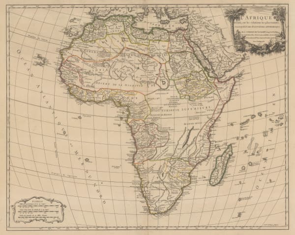
 Georges-Louis Le Rouge, Africa according to New Observations, 1748£ 365.00
 -
 Johann Jacob Lidl, Africa, 1748£ 1,950.00
 -
 Thomas Salmon, Africa, 1752£ 245.00
 -
 Tobias Conrad Lotter, Africa, 1755 c.£ 225.00
 -
 Robert de Vaugondy, Africa, 1756£ 625.00
 -
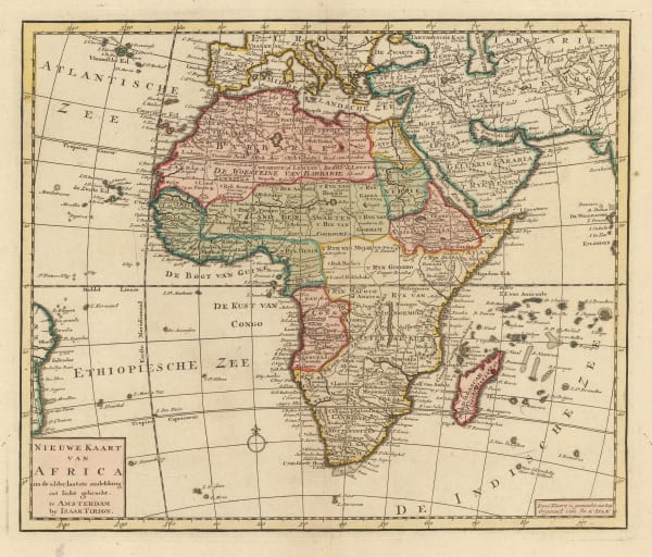
 Isaac Tirion, New Map of Africa, 1760 c.£ 545.00
 -
 Andrew Dury, Africa, 1761£ 175.00
 -
 Isaac Tirion, Africa, 1763£ 625.00
 -
 Jacques-Nicolas Bellin, Africa, 1764£ 295.00
 -
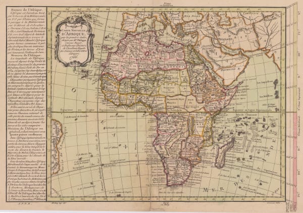
 Étienne André Philippe de Prétot, Africa, 1766£ 395.00
 -
 Louis Brion de la Tour, Africa, 1766£ 395.00
 -
 John & Carington Bowles, A Map of Africa, 1770Reserved
 -
 Thomas Bowen, Africa, 1780 c.£ 275.00
 -
 Jean Denis Janvier, Africa, 1782£ 495.00
 -
 Giovanni Maria Cassini, Africa, 1788£ 675.00
 -
 William Guthrie, Africa from the best Authorities, 1792£ 155.00
 -
 Charles Francois Delamarche, Africa, 1795£ 345.00
 -
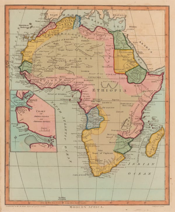
 John Wilkes, Modern Africa, 1796£ 245.00
 -
 John Wilkes, Ancient Africa, 1798£ 145.00
 -
 James Rennell, The Lines of Magnetic Variations in the Seas around Africa, 1798£ 385.00
 -
 Charles Francois Delamarche, Africa, 1800 c.£ 825.00
 -
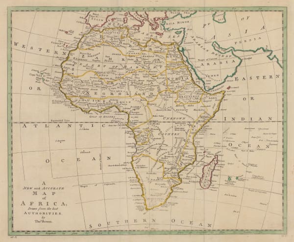
 Thomas Brown, A New and Accurate Map of Africa, 1801£ 175.00
 -
 Charles Francois Delamarche, French atlas map of Africa, 1802£ 875.00
 -

-
 C. & E. Brightly, Africa from the Latest Authorities, 1806£ 145.00
 -
 Aaron Arrowsmith, Africa, 1807£ 95.00
 -
 John Cary, A New Map of Africa, From the Latest Authorities, 1811£ 795.00
 -
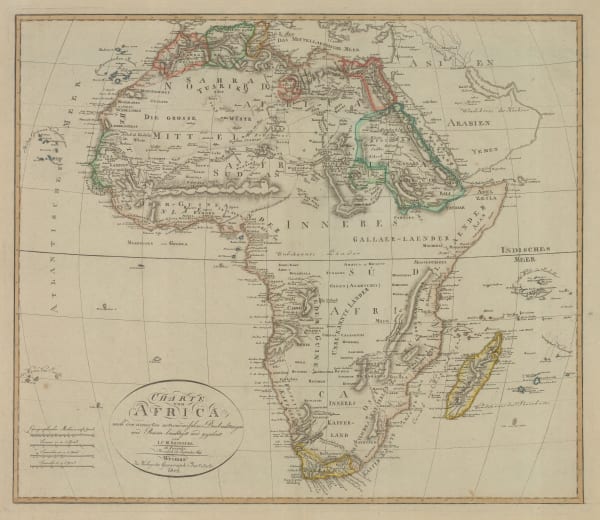
 Johann Christoph Reinecke, Africa showing colonial possessions, 1812£ 775.00
 -

-
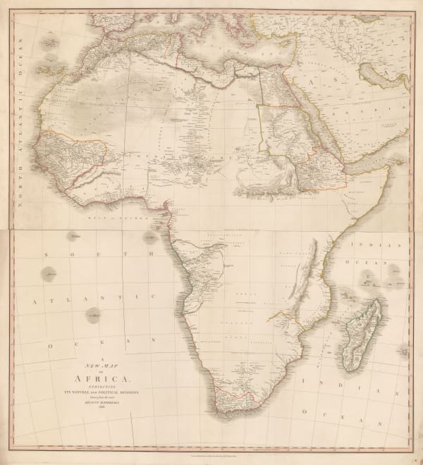
 John Cary, A New Map of Africa exhibiting its Natural and Political Divisions, 1828£ 1,850.00
 -
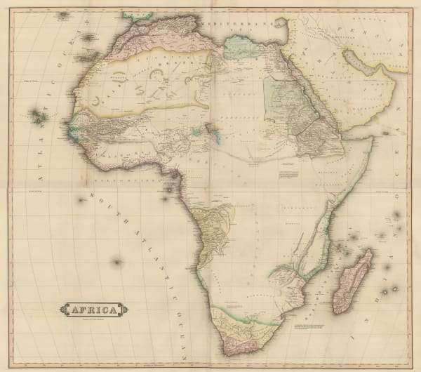
 Daniel & William Lizars, Africa, 1830 c.£ 945.00
 -
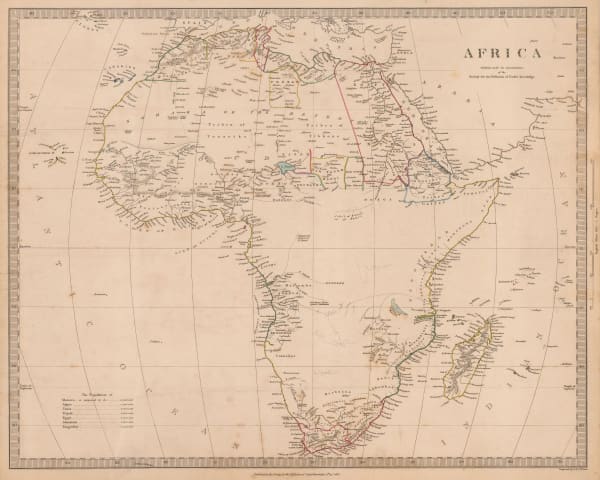
 Society for the Diffusion of Useful Knowledge (SDUK), Africa, 1839£ 225.00
 -
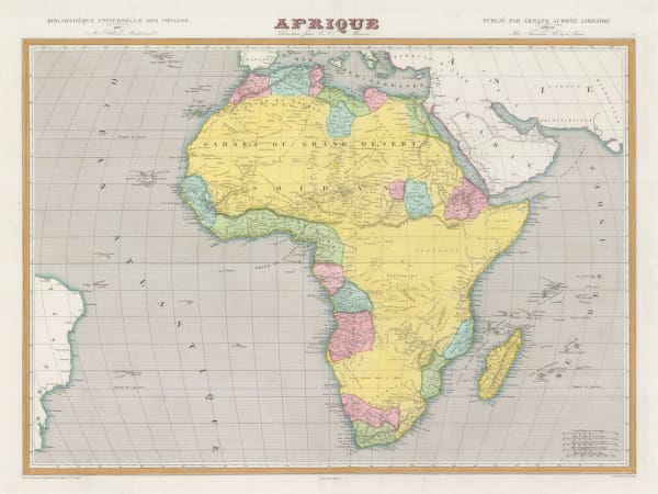
 Charles V. Monin, Africa divided into states and colonies, 1840 c.£ 175.00
 -
 James Wyld, Map of Africa, 1844£ 1,250.00
 -
 Joseph Meyer, Africa showing European possessions, 1844£ 325.00
 -
 Victor Levasseur, Decorative map of Africa, 1847£ 395.00
 -
 Samuel Augustus Mitchell, Map of Africa, 1847£ 165.00
 -
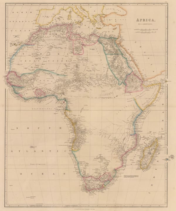
 John Arrowsmith, Africa, 1850£ 695.00
 -
 John Tallis, Africa, 1851£ 495.00
 -
 John Rapkin, Africa, 1855 c.£ 155.00
 -
 Leinhert Holle, Very rare German educational map of Africa, 1855 c.£ 1,950.00
 -
 Royal Geographical Society (RGS), Dr. Livingstone's famous crossing of Africa, 1857£ 985.00
 -
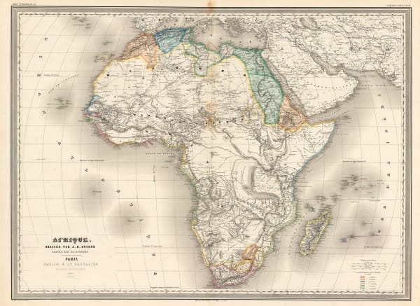
 Auguste-Henri Dufour, French Atlas map of Africa, 1860£ 495.00
 -
 Archibald Fullarton, Africa, 1860 c.£ 325.00
 -
 Victor Levasseur, Africa, 1860 c.£ 395.00
 -
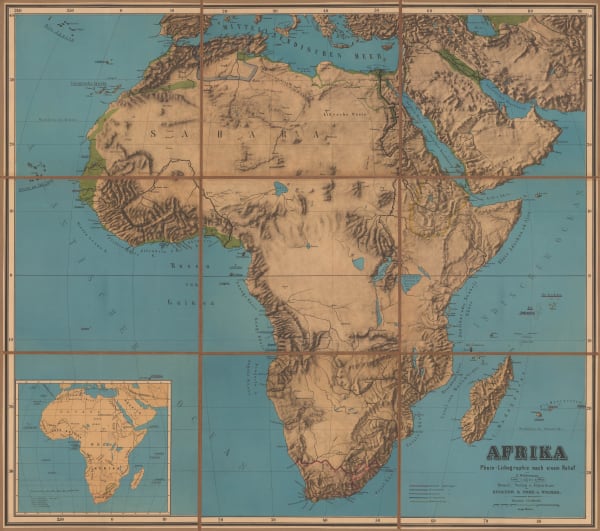
 G. Woldermann, Folding wall map of Africa, 1870 c.£ 1,450.00
 -
 Society for the Diffusion of Useful Knowledge (SDUK), Africa, 1875£ 245.00
 -
 George W. Bacon, Africa, 1880 (c.)£ 195.00
Page
1
of 2


