-
 John Stow, Shoreditch, Old Street, Moorgate & Hoxton, 1720£ 395.00
 -
 John Stow, A Map of the Tower Liberty, 1754£ 395.00
 -
 John Stow, Old Street, Barbican & Moorfields, 1755£ 395.00
 -
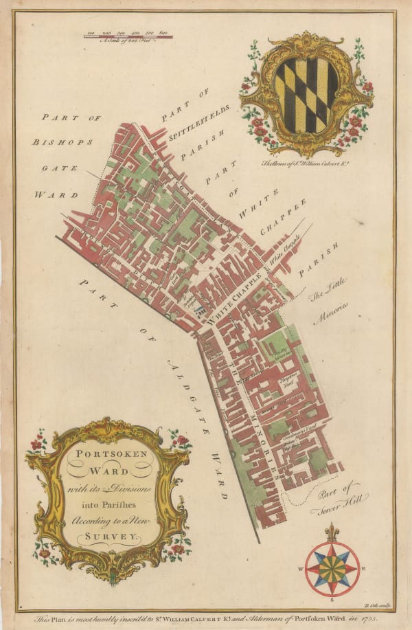
 William Maitland, Portsoken Ward, Aldgate, 1755£ 95.00
 -
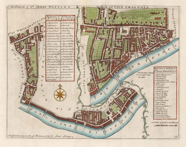
 John Stow, Wapping & Shadwell, 1755£ 240.00
 -
 John Stow, A Map of the Parish of St. Mary Whitechapel, 1755£ 325.00
 -
 John Cary, The London Docks, 1794£ 895.00
 -
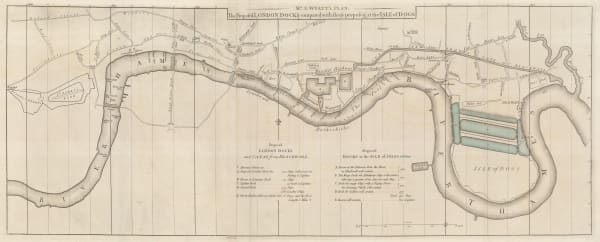
 John Stockdale, The Proposed London Docks, 1796£ 650.00
 -
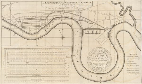
 John Stockdale, A Proposed Plan of Wet Docks in Wapping, 1796£ 850.00
 -
 James Wyld, Hackney, Clapton, Leyton, Homerton, Dalston & Stratford, 1849£ 495.00
 -
 Edward Weller, East London, 1863£ 595.00
 -
 John Cassell, Bromley, Poplar, Canning Town, &c., 1868£ 175.00
 -
 Edward Stanford, Victoria Park, Hackney, Stratford & Homerton, 1874£ 325.00
 -
 Edward Stanford, Limehouse, Canary Wharf & Poplar, 1877£ 395.00
 -
 Edward Stanford, The City, Southwark, Wapping & Whitechapel, 1877£ 1,150.00
 -
 Edward Stanford, Hoxton, Islington, Canonbury & Dalston, 1877£ 795.00
 -
 George W. Bacon, Woolwich, Plumstead, Charlton, Eltham, 1880 c£ 175.00
 -
 Edward Weller, Victoria Park, Hackney, Dalston & London Fields, 1880 c.£ 395.00
 -
 George W. Bacon, Finsbury Park, Crouch End, Tottenham, Leyton & Walthamstow, 1880 c.£ 365.00
 -
 George W. Bacon, Stratford, West Ham & Leytonstone, 1880 c.£ 325.00
 -
 Edward Stanford, Leyton, Walthamstow & Hackney Marshes, 1882£ 295.00
 -
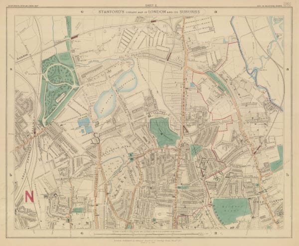
 Edward Stanford, Finsbury Park, Stoke Newington & Tottenham, 1882£ 575.00
 -
 George W. Bacon, Northeast London, 1886£ 245.00
 -
 George W. Bacon, Stratford & West Ham, 1886£ 185.00
 -
 George W. Bacon, Canning Town, Poplar & Bromley-by-Bow, 1886£ 145.00
 -
 George W. Bacon, Bethnal Green, Shadwell, Mile End & Whitechapel, 1886£ 225.00
 -
 George W. Bacon, Limehouse, Tower Hamlets & Bow, 1886£ 195.00
 -
 George W. Bacon, East London, 1886£ 295.00
 -
 George W. Bacon, Manor House, Abney Park, Stoke Newington & Clapton, 1886£ 175.00
 -
 George W. Bacon, Victoria Park, Hackney Wick & the Olympic Park, 1886£ 245.00
 -
 George W. Bacon, London Fields, Hackney & Dalston, 1886£ 375.00
 -
 Edward Stanford, East & Northeast London, 1886£ 950.00
 -
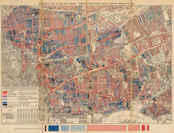
 Charles Booth, First Edition Poverty Map of the East End, 1889£ 4,500.00
 -
 Charles Booth, Charles Booth's Poverty Map of London (NE), 1889£ 3,750.00
 -
 George W. Bacon, Islington, Dalston, Hoxton, Shoreditch, Whitechapel & Hackney, 1890 c.£ 245.00
 -
 George Philip & Son Ltd., Barking & East Ham, 1891£ 45.00
 -
 George Philip & Son Ltd., Ilford, 1891£ 45.00
 -
 George Philip & Son Ltd., Hackney, Clapton, Leyton & Homerton, 1891£ 58.00
 -
 George Philip & Son Ltd., Wanstead & Epping Forest, 1891£ 45.00
 -
 George Philip & Son Ltd., West Ham, Plaistow & Stratford, 1891£ 62.00
 -
 Edward Stanford, Barking, Royal Docks, Silvertown, Beckton & Thamesmead, 1894£ 175.00
 -
 George Philip & Son Ltd., Victoria Dock, Greenwich and Charlton, 1898£ 55.00
 -
 Charles Booth, Poverty Map of Stoke Newington, Dalston, Haggerston & Hackney, 1900£ 795.00
 -
 Charles Booth, Poverty Map of Bow, Poplar, Stepney & Limehouse, 1900£ 745.00
 -
 Charles Booth, East Central London, 1900£ 775.00
 -
 G. & J. Bartholomew, North & East London, 1900 (c.)£ 375.00
 -
 George W. Bacon, Blackwall, Poplar & Plaistow, 1900 c.£ 56.00
 -

-

-
 George Philip & Son Ltd., Limehouse, Poplar, Stepney, Rotherhithe & Canary Wharf, 1904£ 65.00
 -
 George Philip & Son Ltd., Woolwich, 1904£ 55.00
 -
 George Philip & Son Ltd., Canning Town, Blackwall, Victoria Dock & Silvertown, 1904£ 65.00
 -
 George Philip & Son Ltd., Old Street, Hoxton, Shoreditch & London Fields, 1904£ 76.00
 -
 George W. Bacon, East and Northeast London, 1910 c£ 425.00
 -
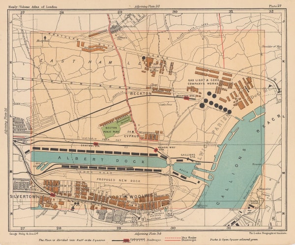
 George Philip & Son Ltd., Beckton, Royal Docks & Silvertown, 1910 c.£ 36.00
 -
 George Philip & Son Ltd., Canning Town & North Woolwich, 1912£ 52.00
 -
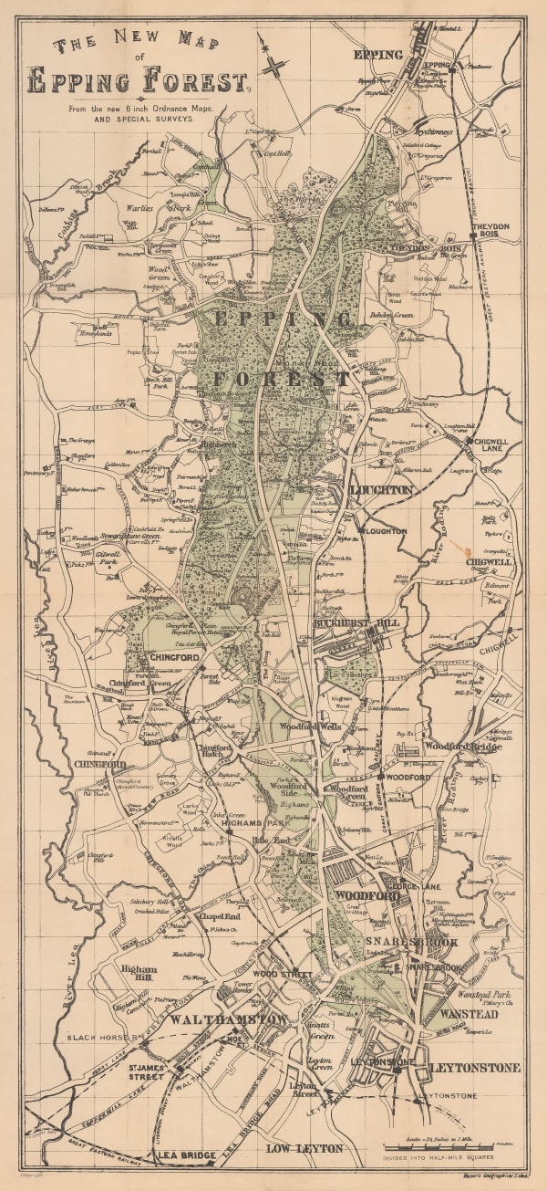
 George W. Bacon, Epping Forest, 1920 c.£ 125.00
 -
 George W. Bacon, Manor House, Abney Park, Stoke Newington & Clapton, 1920 c.£ 88.00
 -
 Ordnance Survey, Shoreditch, 1925 c.£ 525.00
 -
 G. & J. Bartholomew, Woolwich, Charlton & the Royal Docks, 1926£ 44.00
 -
 John Bartholomew & Co., Isle of Dogs, Poplar, Deptford & Rotherhithe, 1929£ 65.00
 -
 Charles Booth, Poverty Map of Whitechapel, Hackney, Shoreditch & Stratford, 1930£ 1,350.00
 -
 Charles Booth, Poverty Map of Tottenham, Stoke Newington, Leyton & Walthamstow, 1930£ 850.00
 -
 Charles Booth, Poverty Map of Royal Docks, Barking & Woolwich, 1930£ 650.00
 -
 Port of London Authority, Royal Docks Development Plan, 1936£ 1,650.00
 -
 Imray & Co., River Thames Wharf Chart from Barking Creek to Hole Haven, 1939 c.£ 295.00
 -
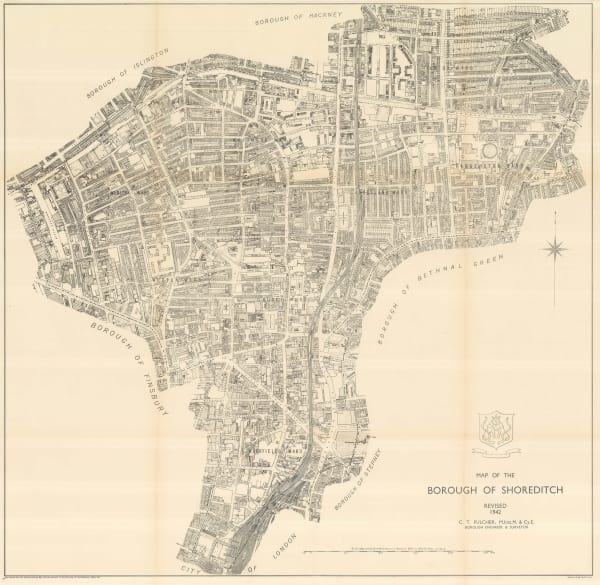
 Ordnance Survey, The Borough of Shoreditch, 1942£ 625.00
Close
Search Inventory
Our entire inventory of over 10,000 antique and vintage maps is now available to browse by region, date, cartographer, and subject
Join our mailing list
* denotes required fields
We will process the personal data you have supplied to communicate with you in accordance with our Privacy Policy. You can unsubscribe or change your preferences at any time by clicking the link in our emails.


