-
 Claudius Ptolemy & Laurent Fries, Hungary, Romania & the Balkans, 1535£ 750.00
 -
 Martin Waldseemüller & Laurent Fries, Slovakia, Hungary, Transylvania & Poland, 1541£ 875.00
 -
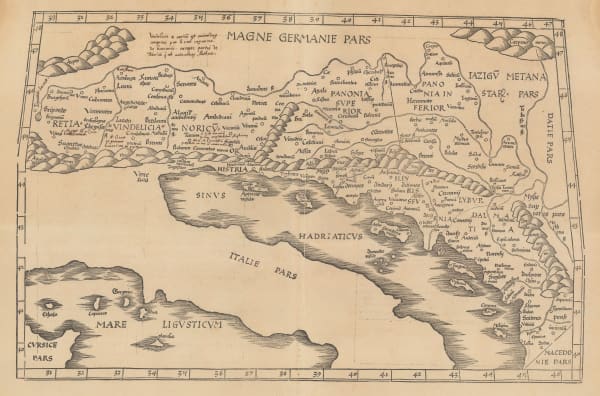
 Claudius Ptolemy & Laurent Fries, Switzerland, Austria, Hungary, Croatia, Slovenia, Bosnia, 1541£ 1,650.00
 -
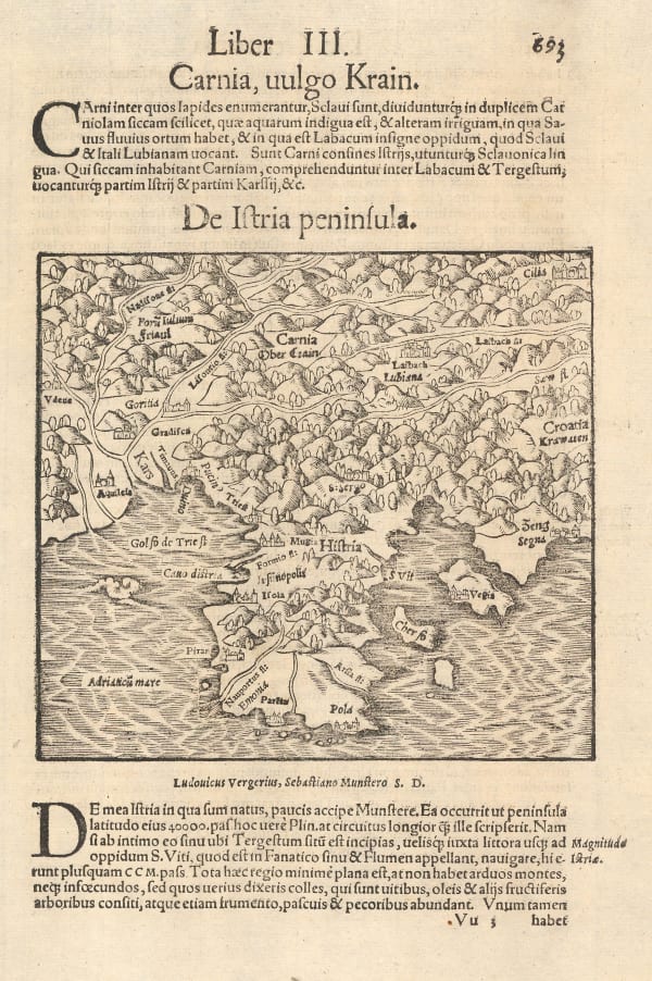
 Sebastian Münster, Istrian Peninsula, Croatia, 1558£ 195.00
 -
 Sebastian Münster, De Vngaria Translyvania Vngarici, 1558£ 295.00
 -
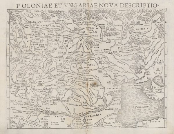
 Sebastian Münster, Poland, Hungary & Ukraine, 1558£ 495.00
 -
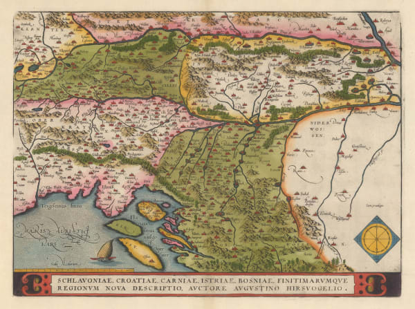
 Abraham Ortelius, Schlavoniae, Croatiae, Carniae, Istriae, Bosniae, Finitimarvmqve Regionvm Nova Descriptio, Avctore Avgvstino Hirsvogelio, 1590 c.£ 825.00
 -
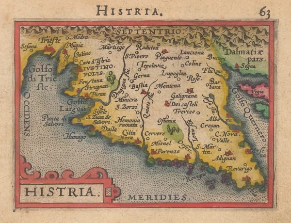
 Abraham Ortelius, Histria, 1600 c.£ 195.00
 -
 Matthias Quad, Sclavonia, Croatia, Bosnia & Dalmatiae Pars Maior, 1609£ 650.00
 -
 Mercator Hondius, Sclavonia, Croatia, Bosnia cum Dalmatiae Parte, 1636£ 425.00
 -
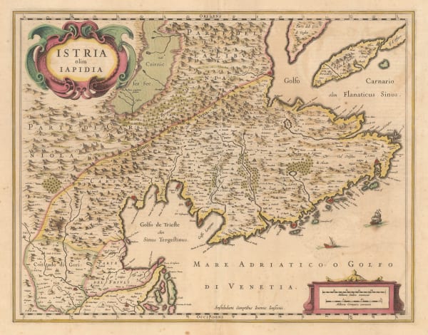
 Willem & Jan Blaeu, Istria olim Iapidia, 1640 c.£ 795.00
 -
 Jan Jansson, Adriatic coast of the Balkans, 1661£ 185.00
 -
 Jan Jansson, The course of the Danube, 1666£ 525.00
 -
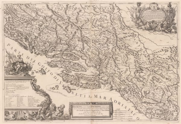
 Domenico & Giuseppe Rossi, Dalmatian coast from Zadar to Shkodër, 1689£ 1,650.00
 -
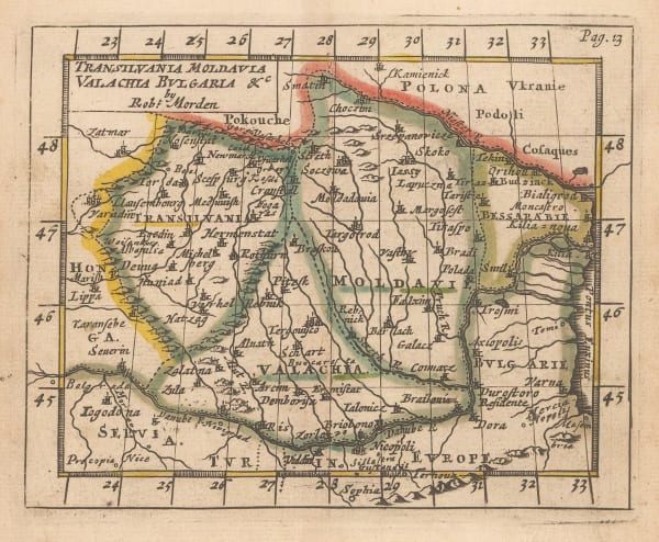
 Robert Morden, Romania, 1693£ 145.00
 -
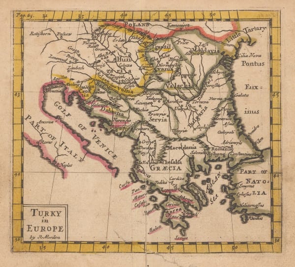
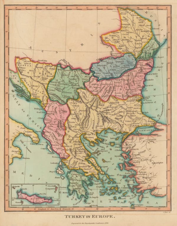
 Robert Morden, Turkey in Europe, 1693£ 98.00
 -
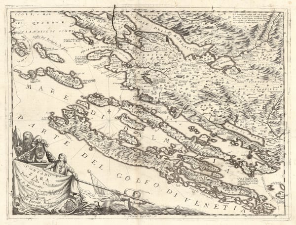
 Vincenzo Coronelli, Contado de Zara Parte della Dalmatia, 1696£ 1,150.00
 -
 Vincenzo Coronelli, Isole delli Dalmatia, 1696£ 1,250.00
 -
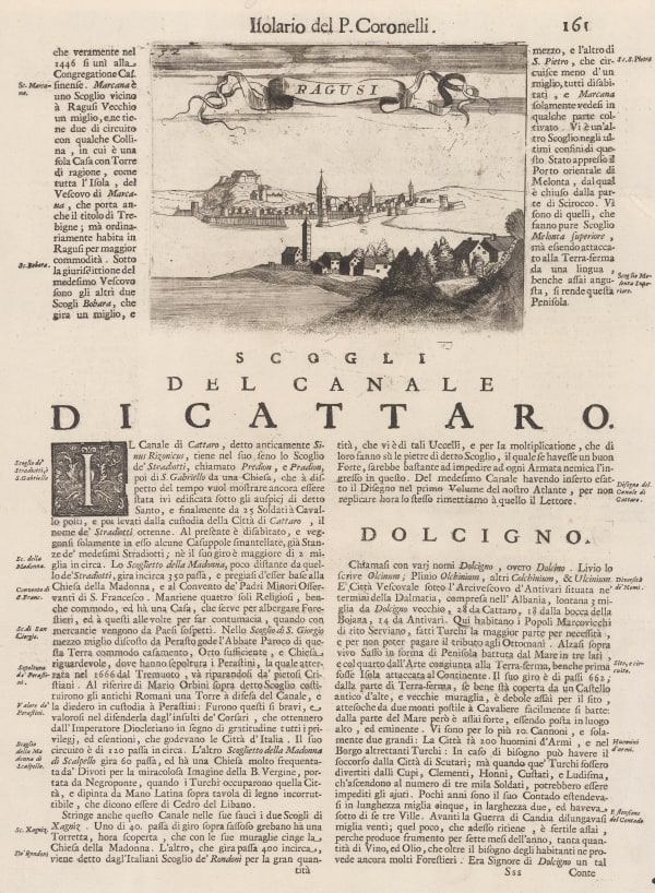
 Vincenzo Coronelli, Ragusi, 1696£ 345.00
 -
 Nicolas Sanson, Partie de Turquie en Europe, 1700£ 275.00
 -
 Pieter van der Aa, Turkey in Europe, 1714£ 285.00
 -
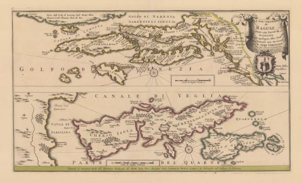
 Pieter Schenk, Le Gouvernement de Raguse, estant une Partie de Dalmatie, avec quelques isles, 1730 c.£ 1,250.00
 -
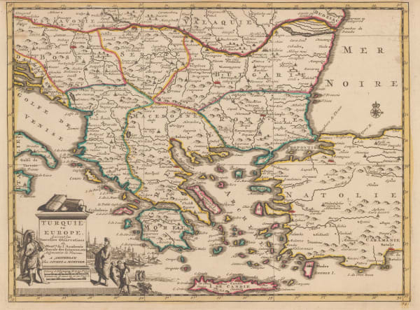
 Covens (Jean) & Mortier (Cornelius), Turquie en Europe, 1730 c.£ 325.00
 -
 Elias Baeck, La Turquie en Europe, 1748£ 165.00
 -
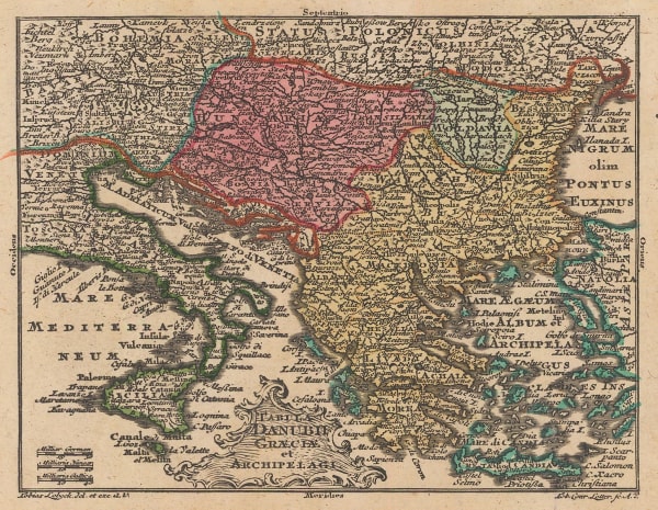
 Tobias Conrad Lotter, Miniature map of the Balkans, Greece, the Aegean, 1755 c.£ 95.00
 -
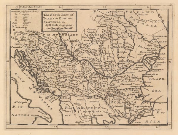
 Herman Moll, The North Part of Turky in Europe, Slavonia & c, 1755 c.£ 95.00
 -
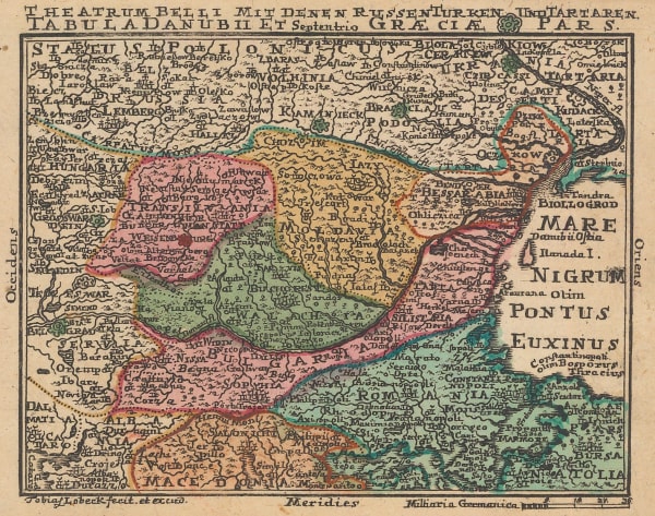
 Tobias Conrad Lotter, The Balkans during Russo-Turkish War of 1735-8, 1755 c.£ 95.00
 -
 Emanuel Bowen, Greece and the Balkans, 1766£ 195.00
 -
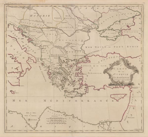
 Carington Bowles, Carte de la Turquie Europeenne, 1770 c.£ 285.00
 -
 Robert Sayer, Russian Discoveries in Siberia, Alaska & the Bering Strait, 1775£ 1,325.00
 -
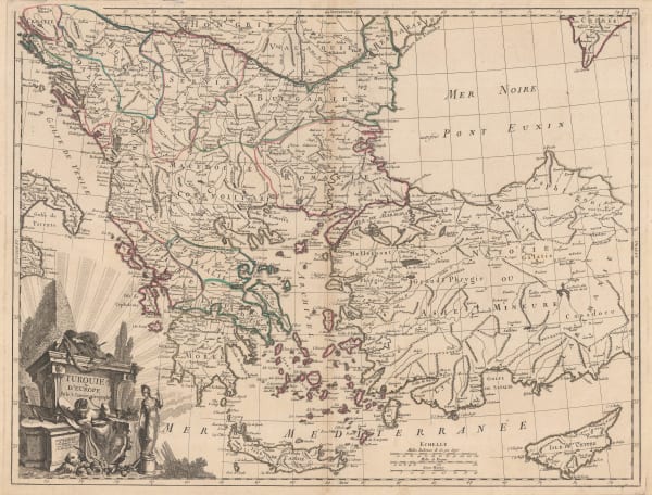
 Francois Santini, Turkey, Greece and the Balkans, 1780 c.£ 345.00
 -
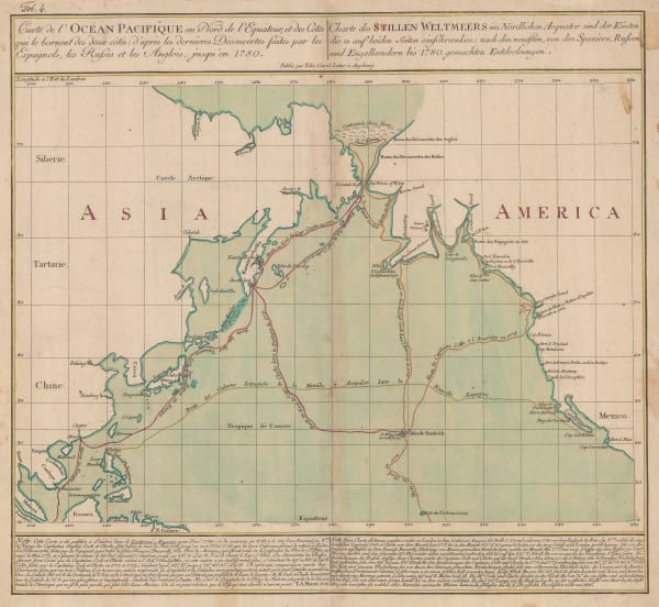
 Tobias Conrad Lotter, James Cook's Voyage to the North Pacific & Bering Strait, 1781£ 2,750.00
 -
 Gerhard Friedrich Muller, Russian Discoveries in Siberia, Alaska & the Bering Strait, 1784£ 1,200.00
 -
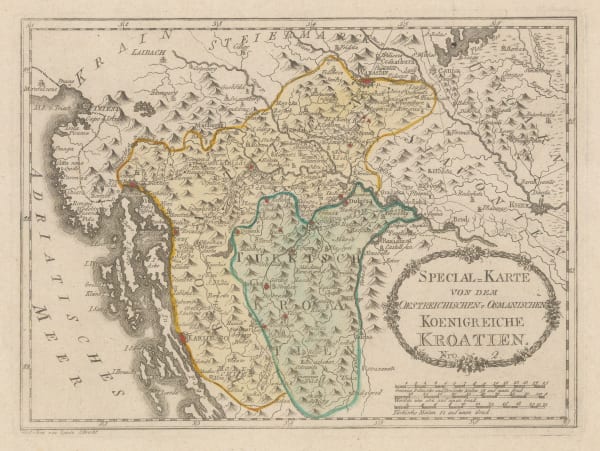
 Franz Von Reilly, Koenigreiche Kroatien, 1790 c.£ 395.00
 -
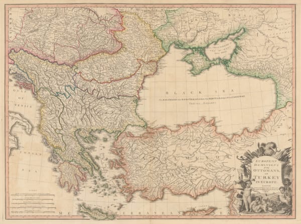
 William Faden, European Dominions of the Ottomans or Turkey in Europe, 1795£ 695.00
 -
 John Meares, The North Pacific Ocean, 1795 c.£ 675.00
 -
 George Cooke, Miniature map of Greece and the Balkans, 1800£ 125.00
 -
 John Cary, A New Map of Turkey in Europe, 1801£ 325.00
 -
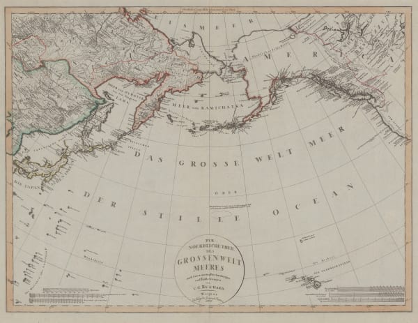
 Christian Gottlieb Reichard, Chart of the North Pacific Ocean, 1804£ 785.00
 -
 Morse and Andrews, Greece, Bosnia, Serbia and Bulgaria, 1805£ 68.00
 -
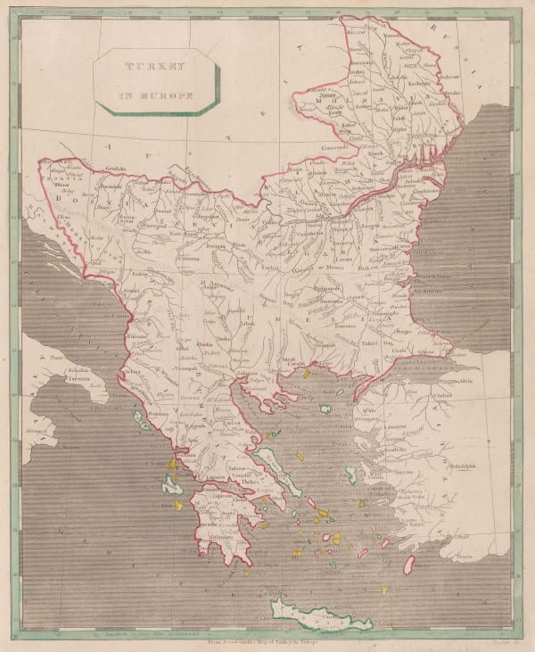
 C. & E. Brightly, Turkey in Europe and Hungary, 1805£ 62.00
 -
 William Faden, James Cook's Voyage to Alaska & the Bering Strait, 1808£ 2,850.00
 -
 John Pinkerton, Turkey in Europe, 1814£ 275.00
 -
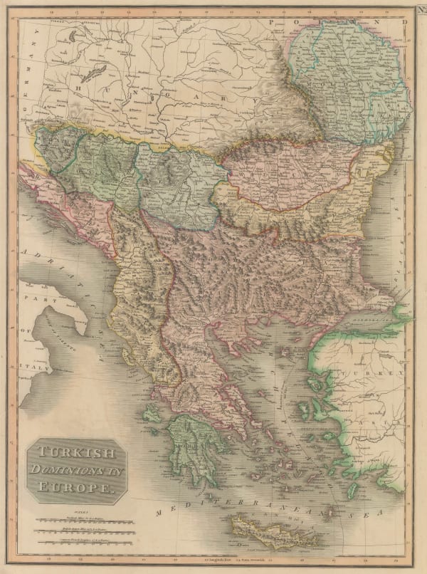
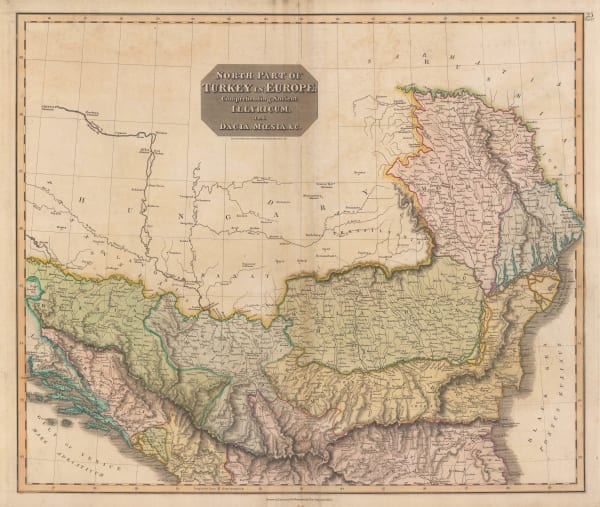
 John Thomson, Turkish Dominions in Europe, 1814 c.£ 175.00
 -
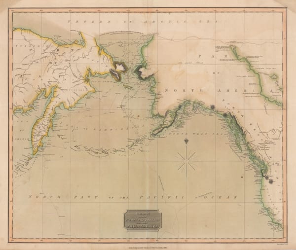
 John Thomson, Chart of the North Pacific and Behring Straits, 1816£ 525.00
 -
 Cadell & Davies, General Outline of the Atlas Route Greece, Macedonia, Transylvania, and Hungary, 1816£ 140.00
 -
 Johann Walch, Greece and the Balkans, 1820£ 185.00
 -
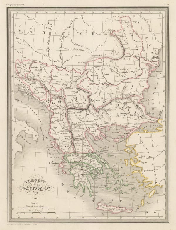
 Tardieu, Turquie d'Europe, 1820 c.£ 62.00
 -
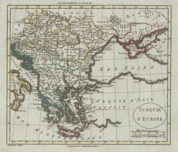
 Alexandre Blondeau, Turquie D'Europe, 1825 c.£ 45.00
 -
 John Thomson, Northern Balkans, 1828£ 145.00
 -
 John Wilkes, The Balkans and Greece, 1828£ 195.00
 -
 Charles Smith, Turkey in Europe, 1834£ 62.00
 -
 James Wyld, European Dominions of the Ottomans or Turkey in Europe, 1840£ 795.00
 -
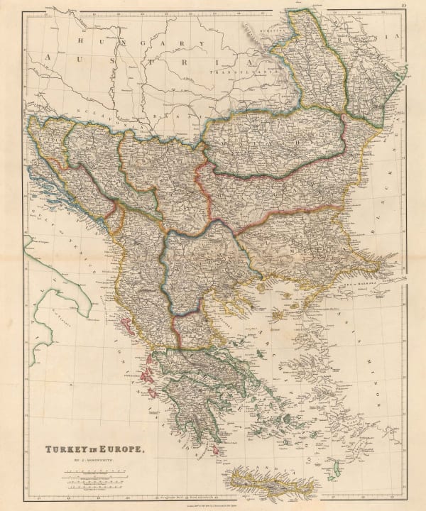
 John Arrowsmith, Greece and the Balkans, 1842£ 245.00
 -
 John Tallis, Northern Balkans, 1851£ 185.00
 -
 George Philip & Son Ltd., Alaska, Kamchatka & the Bering Strait, 1853£ 575.00
 -
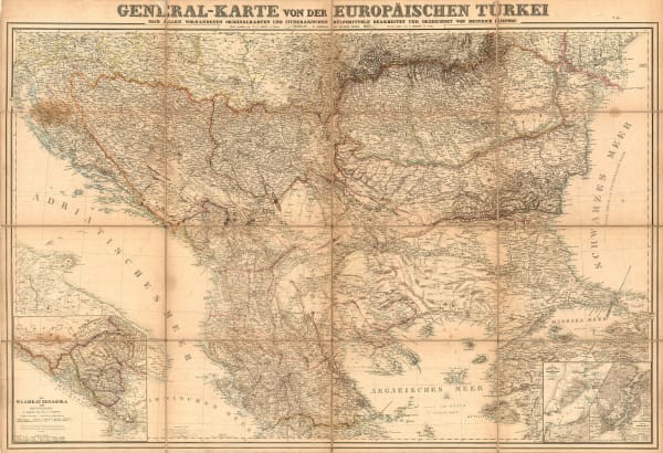
 Heinrich C. Kiepert, Greece and the Balkans, 1853£ 485.00
 -
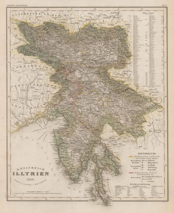
 Joseph Meyer, Konigreich Illyrien, 1853£ 145.00
 -
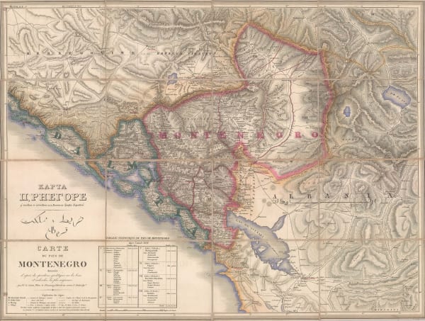
 Fedor von Karacsay, Carte du Pays de Montenegro, 1854£ 3,450.00
 -
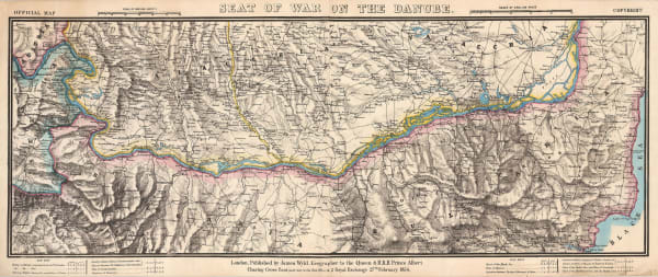
 James Wyld, Seat of War on the Danube, 1854£ 495.00
 -
 Justus Perthes, Western Bulgaria and eastern Serbia, 1872£ 68.00
 -
 Justus Perthes, Ubersicht von F. Kanitz Reisen in Bulgarien 1870-1874., 1874£ 68.00
 -
 Society for the Diffusion of Useful Knowledge (SDUK), Adriatic Coast, Croatia, 1875£ 175.00
 -
 K.u.k. Militärgeographisches Institut, Ragusa (Dubrovnik) and environs, 1877£ 275.00
 -
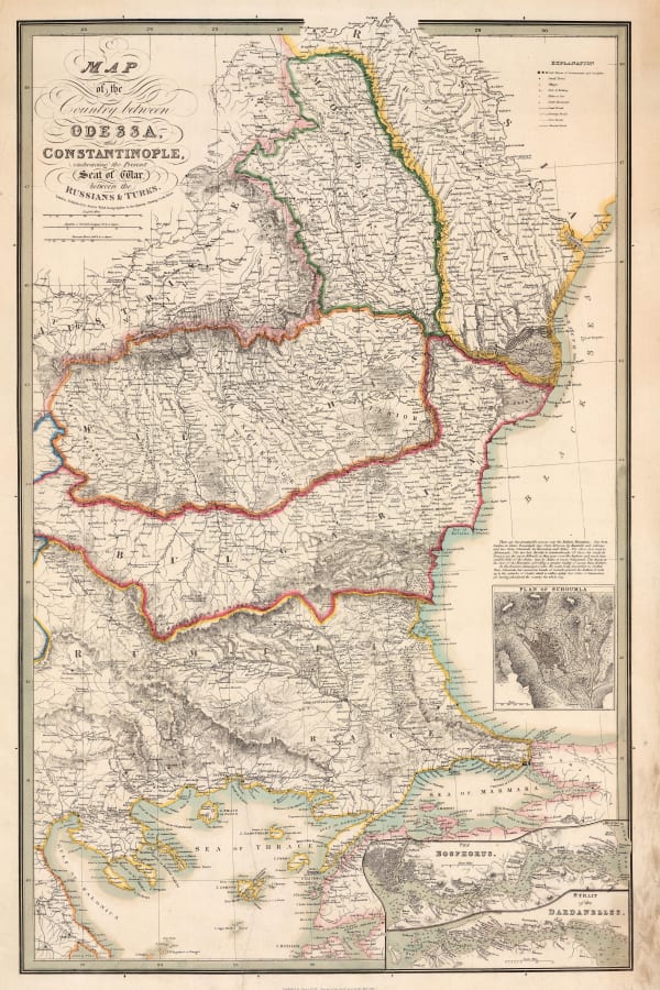
 James Wyld, Map of the Country between Odessa and Constantinople embracing the present Seat of War between the Russians and Turks, 1877 c.£ 875.00
 -
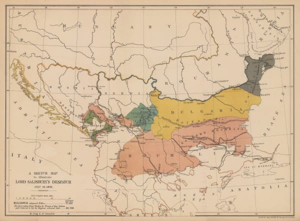
 Edward Stanford, A Sketch Map to Illustrate Lord Salisbury's Despatch, 1878£ 445.00
 -
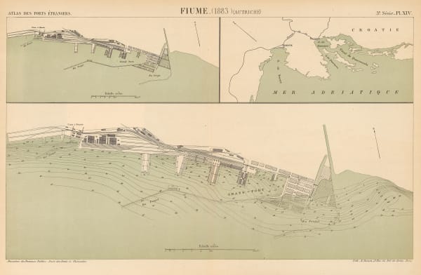
 A. Simon, Chart of the port of Rijeka, 1883£ 125.00
 -
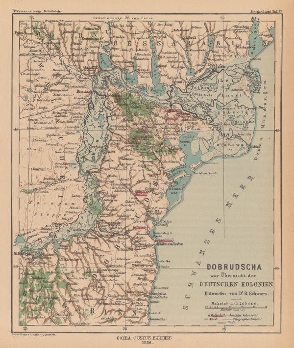
 Justus Perthes, Dobrudscha zur Ubersicht der Deutschen Kolonien, 1886£ 58.00
 -
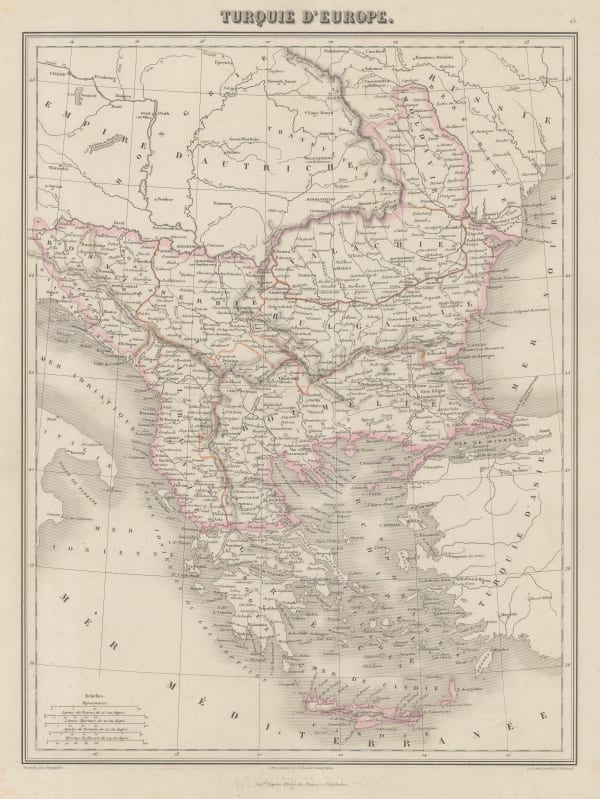
 J. Migeon, Turquie D'Europe, 1890 c.£ 42.00
 -
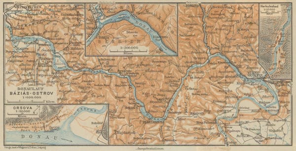
 Karl Baedeker, Danube River in Serbia & Romania, 1890 c.£ 38.00
 -
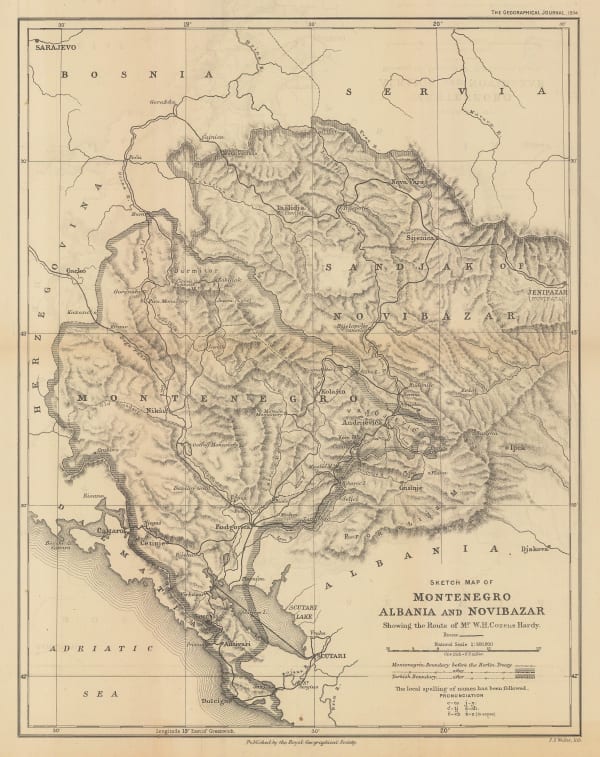
 Royal Geographical Society (RGS), Montenegro, Albania and Novibazar, 1894£ 195.00
 -
 Adolf Hartleben, Opatija, Croatia, 1913£ 32.00
 -
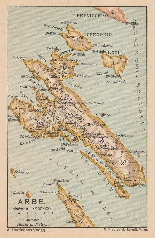
 Adolf Hartleben, Rab, Croatia, 1913£ 28.00
 -
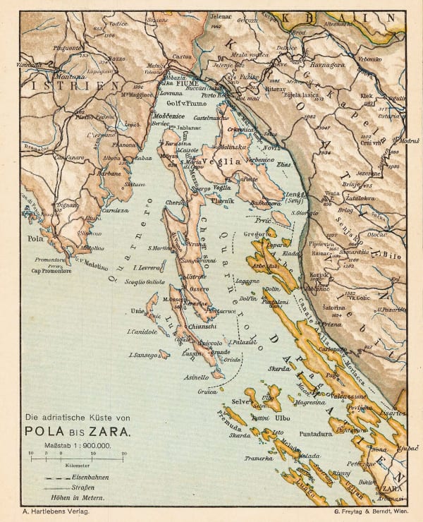
 Adolf Hartleben, Adriatic Coast from Pula to Zadar, Croatia, 1913£ 36.00
 -
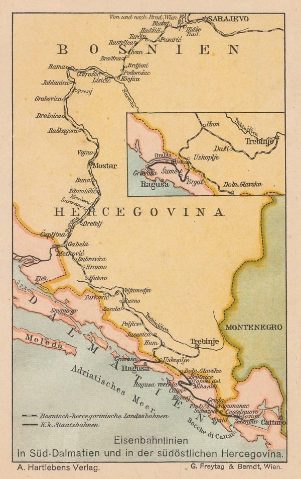
 Adolf Hartleben, Map of the train route from Sarajevo to Ragusa (Dubrovnik), 1913£ 32.00
 -
 Adolf Hartleben, Port and city of Pula, Croatia, 1913£ 34.00
 -
 Adolf Hartleben, Hvar, Croatia, 1913£ 48.00
 -
 Adolf Hartleben, Lošinj, Croatia, 1913£ 32.00
 -
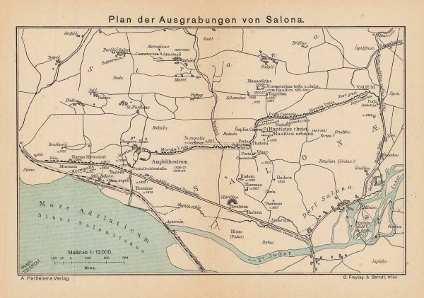
 Adolf Hartleben, Solin, Croatia, 1913£ 28.00
 -
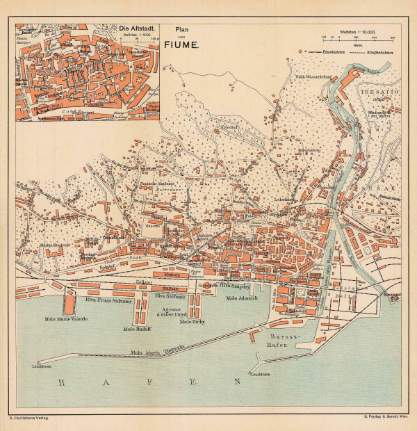
 Adolf Hartleben, Rijeka, Croatia, 1913£ 32.00
All Maps
Page
1
of 2


