-
 John Speed, The North and East Ridins of Yorkshire, 1614£ 1,550.00
 -
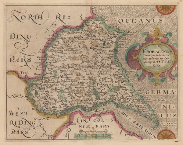
 Eboracensis Comitatus pars Orientalis vulgo East Riding, 1637Christopher Saxton & William HoleSeries: LondonChristopher Saxton & William Hole, Eboracensis Comitatus pars Orientalis vulgo East Riding, 1637£ 195.00
 -
 Eboracensis Comitatus Pars Orientalis vulgo East Riding, 1637Christopher Saxton & William HoleSeries: LondonChristopher Saxton & William Hole, Eboracensis Comitatus Pars Orientalis vulgo East Riding, 1637£ 425.00
 -
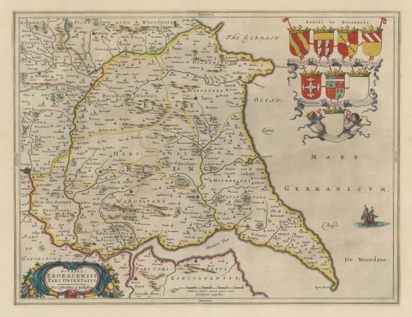
 Dvcatvs Eboracensis Pars Orientalis - The Eastriding of Yorkeshire, 1650 c.Jan BlaeuSeries: AmsterdamJan Blaeu, Dvcatvs Eboracensis Pars Orientalis - The Eastriding of Yorkeshire, 1650 c.£ 525.00
 -
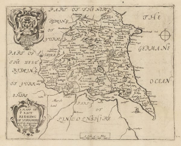
 Richard Blome, A Mapp of ye East Rideing of Yorkshire, 1673 c.£ 165.00
 -
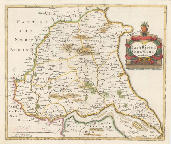
 Robert Morden, The East Riding of Yorkshire, 1722£ 265.00
 -
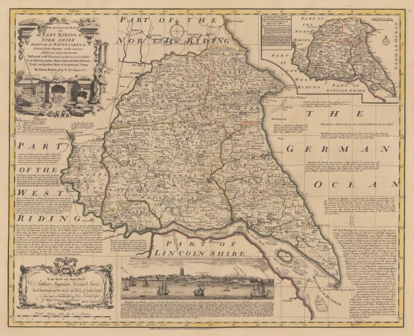
 Emanuel Bowen, An Accurate Map of the East Riding of Yorkshire, 1760 c£ 1,150.00
 -
 Capt. Greenvile Collins, Scarborough, Hartlepool, and Bridlington, 1785£ 275.00
 -
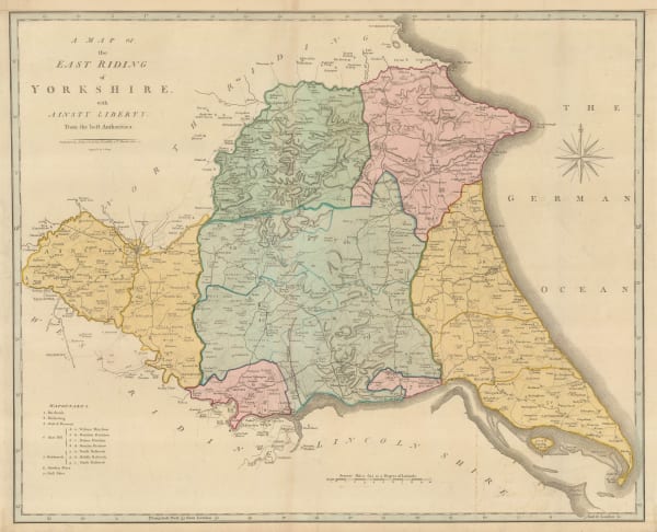
 Map of East Riding of Yorkshire with Ainsty Liberty from the Best Authorities, 1805John CarySeries: LondonJohn Cary, Map of East Riding of Yorkshire with Ainsty Liberty from the Best Authorities, 1805£ 195.00
 -
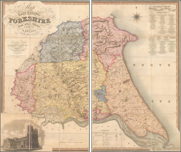
 Andrew Bryant, Map of the East Riding of Yorkshire from Actual Survey, 1829£ 2,750.00
 -
 Christopher & John Greenwood, Map of the East Riding of the County of York, 1834£ 385.00
 -
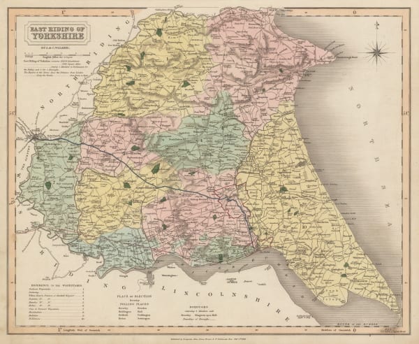
 J. & C. Walker, East Riding of Yorkshire, 1836£ 72.00
 -
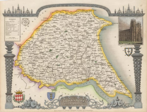
 Thomas Moule, Yorkshire East Riding, 1840 c.£ 92.00
 -
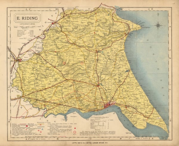
 Letts & Son, E. Riding, 1889£ 48.00
 -
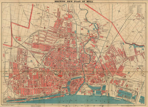
 Anthony Brown & Sons Ltd., Hull, 1890 c.£ 185.00
 -
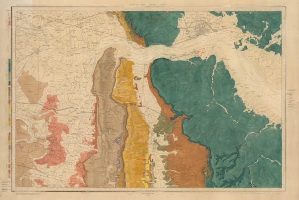
 Ordnance Survey, Geological Survey of the River Humber, 1891£ 375.00
 -
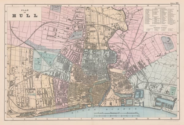
 George W. Bacon, Hull, 1895£ 95.00
 -
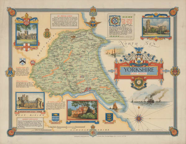
 Ernest Clegg, Yorkshire East Riding, 1947£ 250.00
All Maps
Our entire inventory of over 10,000 antique and vintage maps is now available to browse by region, date, cartographer, and subject


