-
 Laurent Fries, China, Japan & Tartary, 1535£ 3,250.00
 -

-
 Abraham Ortelius, China, Regio Asiae, 1601£ 895.00
 -

-
 Petrus Bertius, Descriptio Chinae, 1616£ 525.00
 -
 Petrus Bertius, Descriptio Chinae, 1616£ 395.00
 -
 Mercator Hondius, China, 1619£ 4,950.00
 -

-
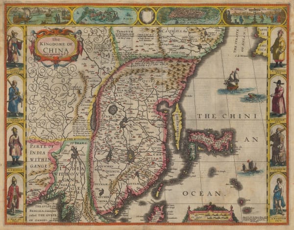
 Mercator Hondius, The Kingdome of China, 1635£ 795.00
 -
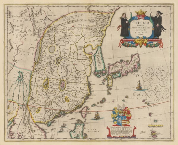
 Willem & Jan Blaeu, Dutch Golden Age Map of China, Korea & Japan, 1640 c.£ 3,850.00
 -
 Jan Jansson, Dutch Golden Age Map of China, Korea & Japan, 1647£ 3,650.00
 -

-
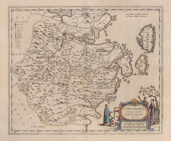
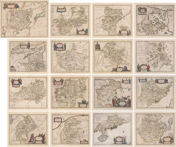
 Jan Blaeu, Zhejiang 浙江 Province, 1655£ 1,850.00
 -
 Jan Blaeu, Henan 河南 Province, 1655£ 1,250.00
 -
 Jan Blaeu, Jiangxi 江西 Province, 1655£ 1,250.00
 -
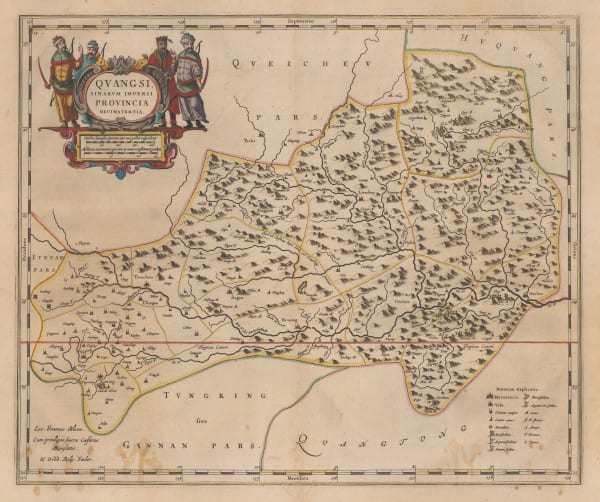
 Jan Blaeu, Guangxi 广西 Province, 1655£ 950.00
 -
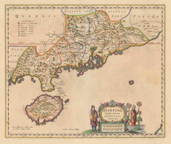
 Jan Blaeu, Guangdong 广东 Province, 1655£ 4,750.00
 -
 Jan Blaeu, Guizhou 贵州 Province, 1655£ 1,550.00
 -
 Jan Blaeu, Shanxi 山西 Province, 1655£ 1,350.00
 -
 Jan Blaeu, Shaanxi 陕西 Province, 1655£ 1,450.00
 -

-
 Nicolas & Guillaume Sanson, La Chine Royaume, 1656£ 1,750.00
 -
 Jan Jansson, China, 1661£ 695.00
 -

-
 Alain Manesson Mallet, La Chine, 1683£ 375.00
 -
 Pierre Duval, Imperii Sinarum, 1686£ 425.00
 -
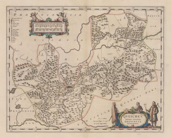
 Vincenzo Coronelli, Chekiang, e Kiangsi, 1690 c.£ 1,950.00
 -
 Vincenzo Coronelli, Hunouang e Sucuhen, 1690 c.£ 1,450.00
 -
 Vincenzo Coronelli, Iunan, Queicheu & Quangsi, 1692£ 1,350.00
 -
 Vincenzo Coronelli, Nanking and Honan, 1692£ 2,250.00
 -
 Vincenzo Coronelli, Xansi e Xensi Prouincie della China, 1692£ 1,350.00
 -
 Vincenzo Coronelli, Xantung e Peking Prouincie della China, 1692£ 2,250.00
 -
 Nicolas & Guillaume Sanson, Royaume de la Chine, 1692£ 445.00
 -

-
 Vincenzo Coronelli, Quantung e Fokien, 1696£ 4,250.00
 -
 Valk & Schenk, Iunnan, Queicheu, Quangsi et Quantung, 1700 c.£ 2,450.00
 -
 Nicolas de Fer, La Partie Orientale de L'Asie, 1705£ 785.00
 -
 Valk & Schenk, Huquang, Kiangsi, Chekiang ac Fokien, 1710 c.£ 985.00
 -
 Valk & Schenk, Imperii Sibnarvm Nova Descriptio, 1710 c.£ 2,250.00
 -
 Valk & Schenk, Pecheli, Xansi, Xantung, Honan, Nanking, 1710 c.£ 885.00
 -
 Samuel Thornton, A Large Draught of the North Part of China, shewing all the Passages and Chanells into the Harbour of Chusan, 1711£ 650.00
 -
 Philipp Cluver, Chinese Empire, 1711£ 345.00
 -
 Pieter van der Aa, La Chine suivant les Nouvelles Observations, 1713£ 1,150.00
 -
 Pieter van der Aa, Iles aux environs de la Chine, 1714£ 445.00
 -
 Jean-Baptiste Du Halde, A Map of China, Chinese Tartary and The Kingdom of Corea., 1736£ 825.00
 -
 J.B.B. D'Anville, Province De Hou-Quang, 1737£ 525.00
 -
 Covens (Jean) & Mortier (Cornelius), Imperii Sinarum Nova Descriptio, 1740 c.£ 3,450.00
 -
 Homann Heirs, Regni Sinae vel Sinae Propriae, 1740 c.£ 1,350.00
 -
 Matthaus Seutter, Sinarum Imperium, 1740 c.£ 2,550.00
 -
 Georges-Louis Le Rouge, La Chine, 1745 c.£ 225.00
 -
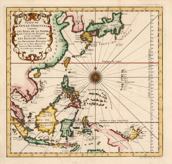
 Jacques-Nicolas Bellin, China, Japan, Philippines & Southeast Asia, 1746£ 445.00
 -
 Jacques-Nicolas Bellin, L'Empire de La Chine, 1748£ 495.00
 -
 Jacques-Nicolas Bellin, Plan de la Ville de Peking, 1748£ 225.00
 -
 Jacques-Nicolas Bellin, Carte des Isles qui sont a L'Embouchure de la Riviere de Canton, 1749£ 295.00
 -
 Jacques-Nicolas Bellin, La Chine avec La Coree, 1749£ 345.00
 -
 Jacques-Nicolas Bellin, Plan de la Ville et du Port de Macao, 1749£ 325.00
 -
 Tobias Conrad Lotter, Sinarum Imperium, 1750 c.£ 1,750.00
 -
 J.B.B. D'Anville, Seconde Partie de la Carte D'Asie. Continent La Chine et partie de la Tartarie, L'Inde au dela du Gange, Les Ilses: Sumatra, Java, Borneo, Moluques, Philippines, et du Japon, 1752£ 1,500.00
 -
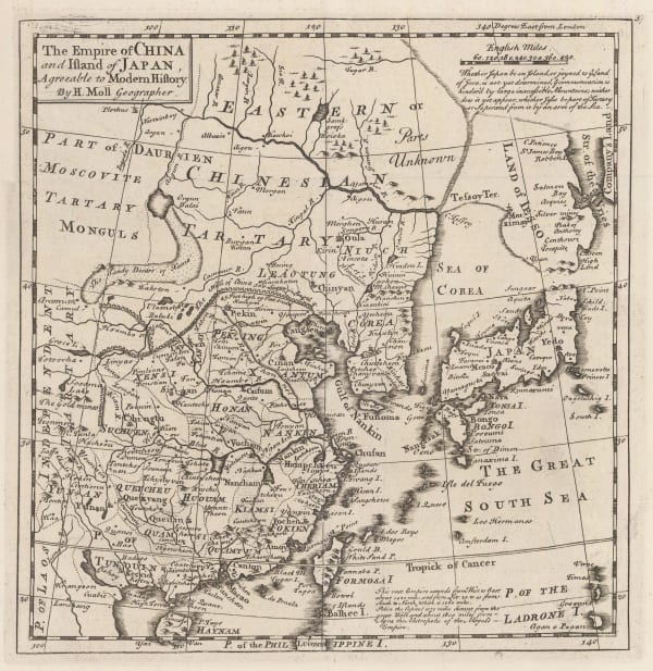
 Herman Moll, The Empire of China and the Island of Japan, 1755 c.£ 625.00
 -
 Jacques-Nicolas Bellin, Karte von der Einfahrt des Flusses Canton, 1760 c.£ 275.00
 -
 Isaac Tirion, Nouvelle Carte de L'Empire de la Chine, 1760 c.£ 825.00
 -
 Jacques-Nicolas Bellin, Isle de Cheu-Chan ou Isle Chusan, 1764£ 125.00
 -
 Rigobert Bonne, Carte de la Tartarie Chinoise, 1771£ 265.00
 -
 Francois Santini, L'Empire De La Chine, avec La Tarttarie Chinoise, 1779£ 645.00
 -
 Rigobert Bonne, L'Empire de la Chine, 1780 c.£ 295.00
 -
 Robert de Vaugondy, L'Empire de la Chine, 1790 c.£ 425.00
 -
 Laurie & Whittle, A Chart of the Northern Part of the China Sea, 1794£ 2,450.00
 -
 Laurie & Whittle, A Survey of the Tigris, 1794£ 4,250.00
 -
 Antonio Zatta, Impero della China, 1795£ 725.00
 -
 Sir George Staunton, A Chart of the Islands to the Southward of Tchu-San on the Eastern Coast of China, 1796£ 295.00
 -
 Sir George Staunton, A Chart on Mercator's Projection Containing the Track and Soundings of the Lion, the Hindostan and Tenders, from Turon-Bay in Cochin China to the Mouth of the Pei-Ho River in the Gulph of Pe-Tche-Lee or Pekin, 1796£ 725.00
 -
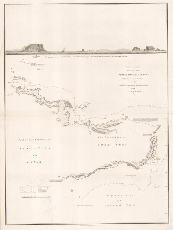
 Sir George Staunton, A Sketch by Compass of the Coast of the Promontory of Shan-Tung with the track of the ships and the Soundings from the place of first making the Land to the Strait of Mi-a-Tau, 1796£ 285.00
 -
 Sir George Staunton, A Sketch of a Journey from Zhe-Hol in Tartary by Land to Pekin and from thence by water to Hang-Tchoo-Foo in China, 1796£ 985.00
 -
 Jean Francois de La Perouse, Carte des Decouvertes, 1797£ 220.00
 -
 Jean Francois de La Perouse, Lapérouse's Discoveries in China, Taiwan, Japan & Korea, 1797£ 495.00
 -
 Jean Francois de La Perouse, Lapérouse's Discoveries in China, Taiwan, Japan & Korea, 1797£ 675.00
 -
 William Faden, China and Chinese Tartary, 1798£ 295.00
 -
 Adolf Stieler, Charte von China, 1804£ 595.00
 -
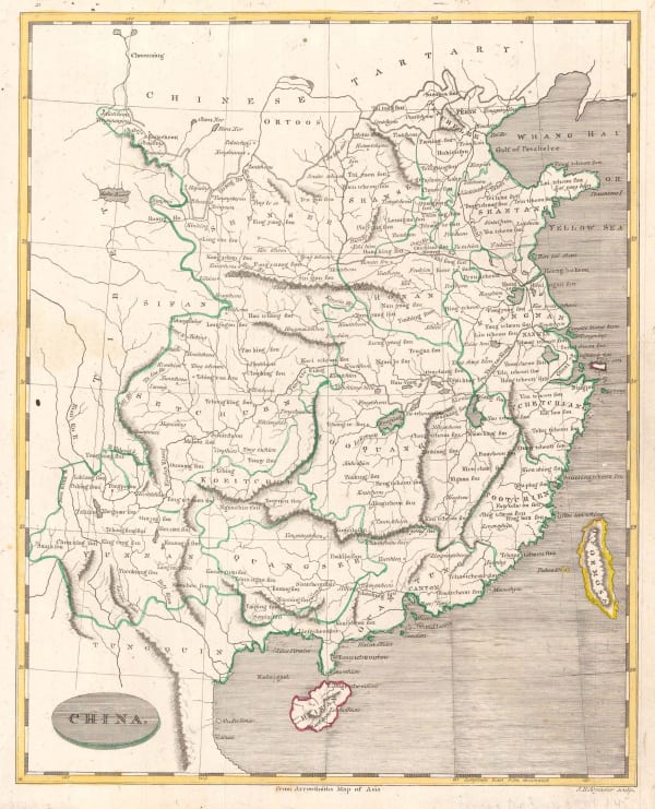
 Morse and Andrews, China, 1805£ 225.00
 -
 Christian Louis Jose De Guignes, Carte de L'Entre de Macao, 1808£ 2,450.00
All Maps
Page
1
of 3


