Philippe Vandermaelen
47 x 56 cm
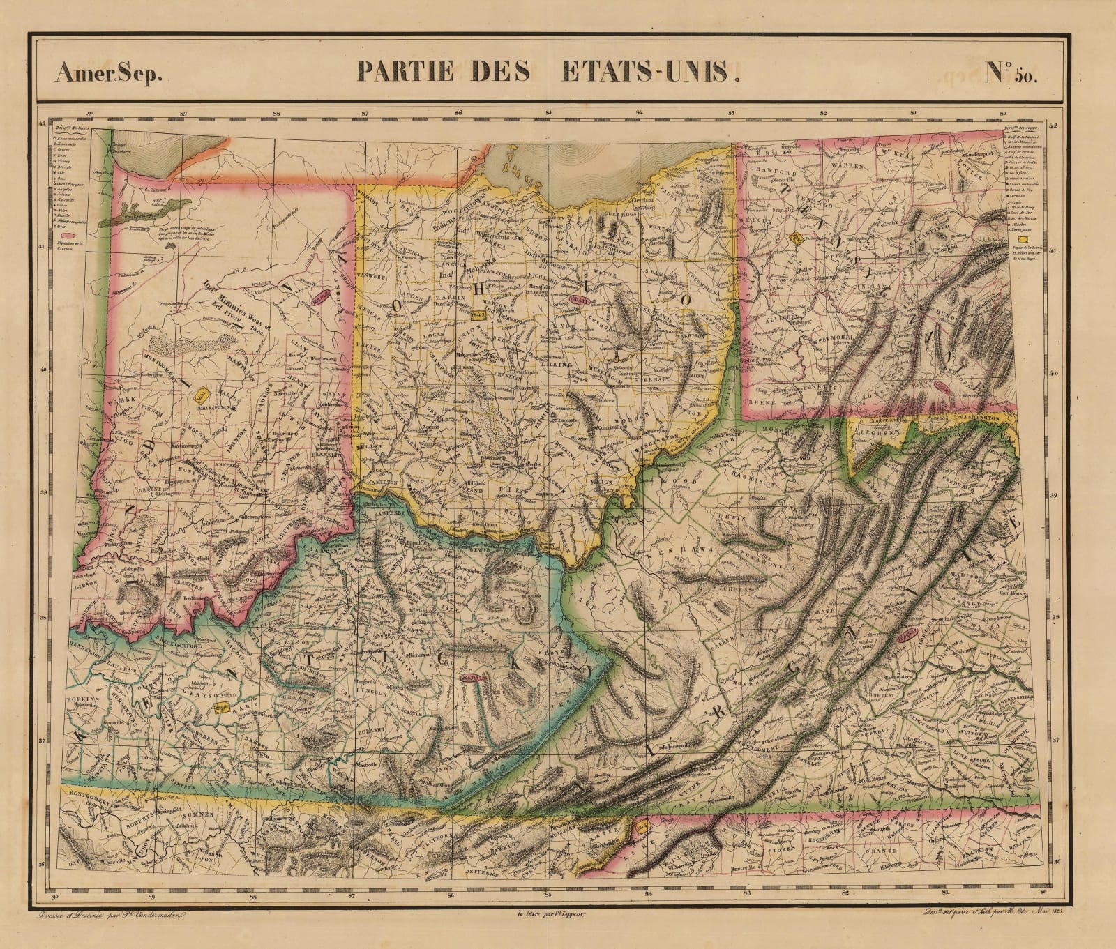
Indiana, Kentucky and Ohio with parts of West Virginia and Pennsylvania. Sheet 50 of Vandermaelen's enormous map of the world. (SL) [USA4005]
Indiana, Kentucky and Ohio with parts of West Virginia and Pennsylvania. Sheet 50 of Vandermaelen's enormous map of the world. (SL) [USA4005]


