Jacques-Nicolas Bellin
21 x 30 cm
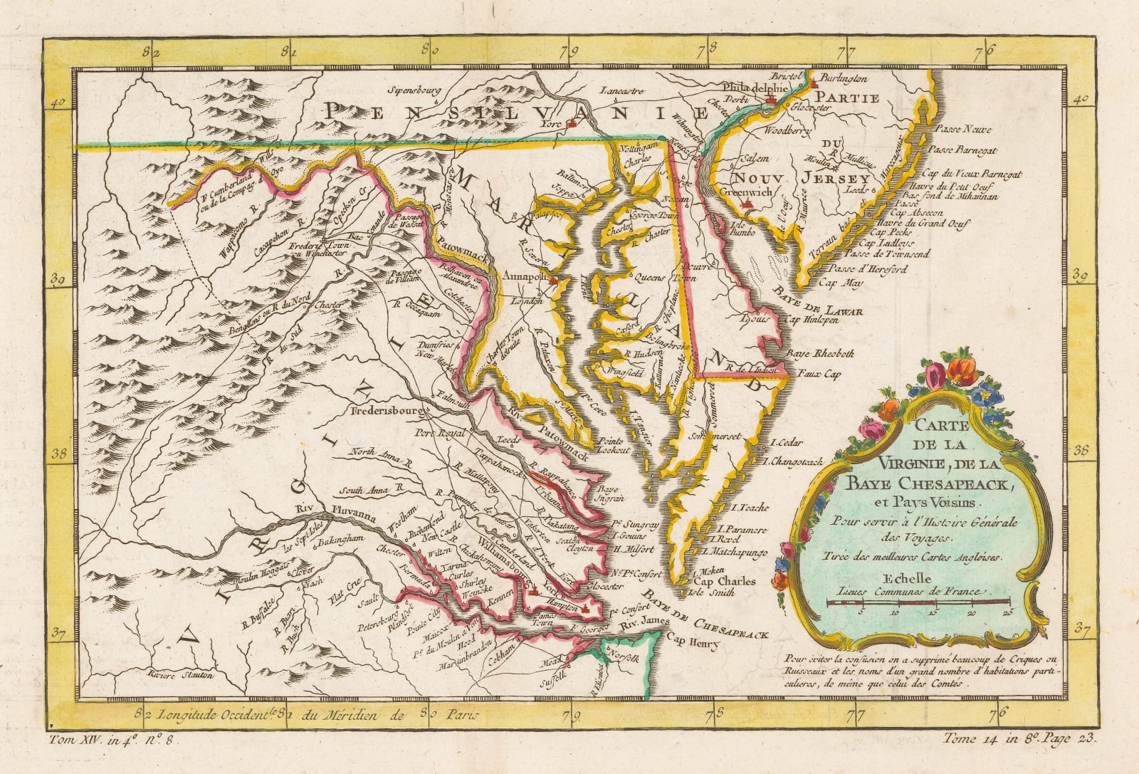
Decorative French map of Chesapeake Bay and the surrounding counties of Maryland, Virginia, New Jersey, and part of Pennsylvania.
This is one of the most accurate maps of the region for the time, ultimately based on the Moll map first printed in the early 18th century. Additions have been made, particularly of the wagon roads.
It first appeared in the "Histoire des Voyages" compiled and edited by Raynal but it was used both by Bellin and others until the wide distribution of Fry and Jefferson's new survey of Virginia first issued in 1754.
Coloured. [USA9670]


