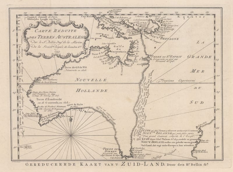
Jacques-Nicolas Bellin the Elder was a prolific French geographer of maritime maps and charts and one of the most important cartographers of the 18th century. Born in Paris in 1703, Bellin was appointed to the French Hydrographic office at the young age of eighteen, specialising in hydrology.
As chief cartographer (hydrographer) to the French Navy, then twenty years later as the first Ingénieur de la Marine for the Dépôt des Cartes et Plans de la Marine, as well as the official Hydrographer of King Louis XV, Bellin produced a remarkable amount of detailed and accurate maps and nautical charts for locations all over the globe. Over his fifty-year career, he published a multitude of important maps often from first-hand sources provided by naval officers, merchants, and the government. Though less decorative than his predecessors’ works, Bellin’s maps were extraordinarily accurate and functional. He conducted extensive research for his maps, using navigational journals, itinerary reports, and astronomical observations, making constant improvements and including updated discoveries and political events from around the world.
As well as publishing his own atlases, he was a contributor to many seminal French works on exploration, including Abbé Raynal’s Histoire des Deux Indes, Abbé Prevost’s Histoire Générale des Voyages and Pierre de Charlevoix’s Histoire et Description Générale de la Nouvelle France. In 1762, Bellin decided to publish one of his most popular and accessible works: Le Petit Atlas Maritime. Published in 1764, the work was arranged into five volumes and enjoyed immense popularity. Many of the maps used in the books were reduced versions which Bellin had either contributed or published previously. However, there are some notable exceptions, such as his famous map of Manhattan, which was sourced from a manuscript map drawn by J.B.L. Franquelin in 1693.
The five volumes usually contain between 575 and 590 maps with variations noted between individual examples. As the preparation took only two years, it is very likely that Bellin had many of these copper plates already available. The initial financial support for the atlas was from Étienne-François, Duc de Choiseul, a highly placed French politician who was credited for strengthening both the army and navy. Bellin includes a long dedication to Choiseul on the front of each volume.
He was also active among his peers and member of the Académie de Marine, the Royal Society of London, and the French intellectual group, Les Philosophes, the French counterpart to the pioneers of the English Age of Reason. His maps are a legacy from the Age of French Enlightenment. Bellin died at Versailles in 1772.


