-
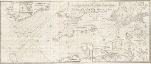
 William Heather, Chart of the Atlantic Ocean, 1807£ 4,500.00
 -

-

-

-
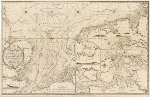
 William Heather, New Chart of the Coasts of England and Holland from the Latest Surveys, 1805£ 1,750.00
 -
 William Heather, Heather's New and Improved Chart of the Orkney Isles. Drawn from the Most Accurate Surveys., 1804£ 1,650.00
 -
 William Heather, Sea Chart of the British Isles, 1804£ 1,850.00
 -
 William Heather, A New Chart of the Bristol Channel, 1803£ 1,450.00
 -

-
 William Heather, A New Chart Shewing the Navigation through the Sunda Straights to Batavia, 1803£ 2,950.00
 -
 William Heather, Boulogne coast and environs, 1803£ 645.00
 -
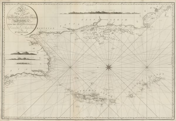
 William Heather, Chart of the Andaman and Nicobar Islands, 1803£ 3,200.00
 -
 William Heather, Chart of the Azores, 1803£ 850.00
 -
 William Heather, Chart of the Kattegat, 1803£ 1,350.00
 -
 William Heather, Georgian chart of the Sunda Straits, 1803£ 1,950.00
 -
 William Heather, Sea chart of the Bay of Bengal, 1803£ 2,250.00
 -
 William Heather, Sea Chart of the Øresund & Copenhagen, 1803£ 1,850.00
 -
 William Heather, Bay of Biscay, 1802£ 1,950.00
 -
 William Heather, Chart of the East Coast of England, 1802£ 950.00
 -

-
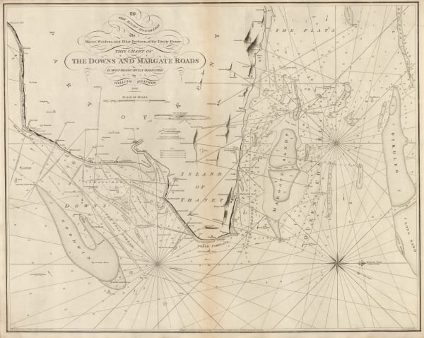
 William Heather, The Downs and Margate Roads, 1802£ 750.00
 -
 William Heather, Chart of Madeira and the Canary Islands, 1801£ 1,450.00
 -

-
 William Heather, The Entrances to the River Thames, 1801£ 1,650.00
 -
 William Heather, Chart of the Cape Verde Islands, 1800 c.£ 325.00
 -
 William Heather, Plymouth Sound, Portland and Falmouth & Helford, 1800 c.£ 950.00
 -
 William Heather, Chart of the coast of Portugal and Spain, 1800£ 1,550.00
 -
 William Heather, Two charts of Islands in the Banda Sea, 1800£ 2,950.00
 -

-
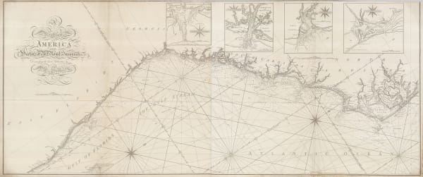
 William Heather, Chart of the East coast from the Outer Banks of North Carolina to Fort Lauderdale, 1799£ 4,250.00
 -
 William Heather, Sea Chart of the South Atlantic & South America, 1799£ 2,250.00
 -
 William Heather, Caribbean Islands from the Virgin Islands to Trinidad and Tobago, 1795£ 1,950.00
Close
Search Inventory
Join our mailing list
* denotes required fields
We will process the personal data you have supplied to communicate with you in accordance with our Privacy Policy. You can unsubscribe or change your preferences at any time by clicking the link in our emails.


