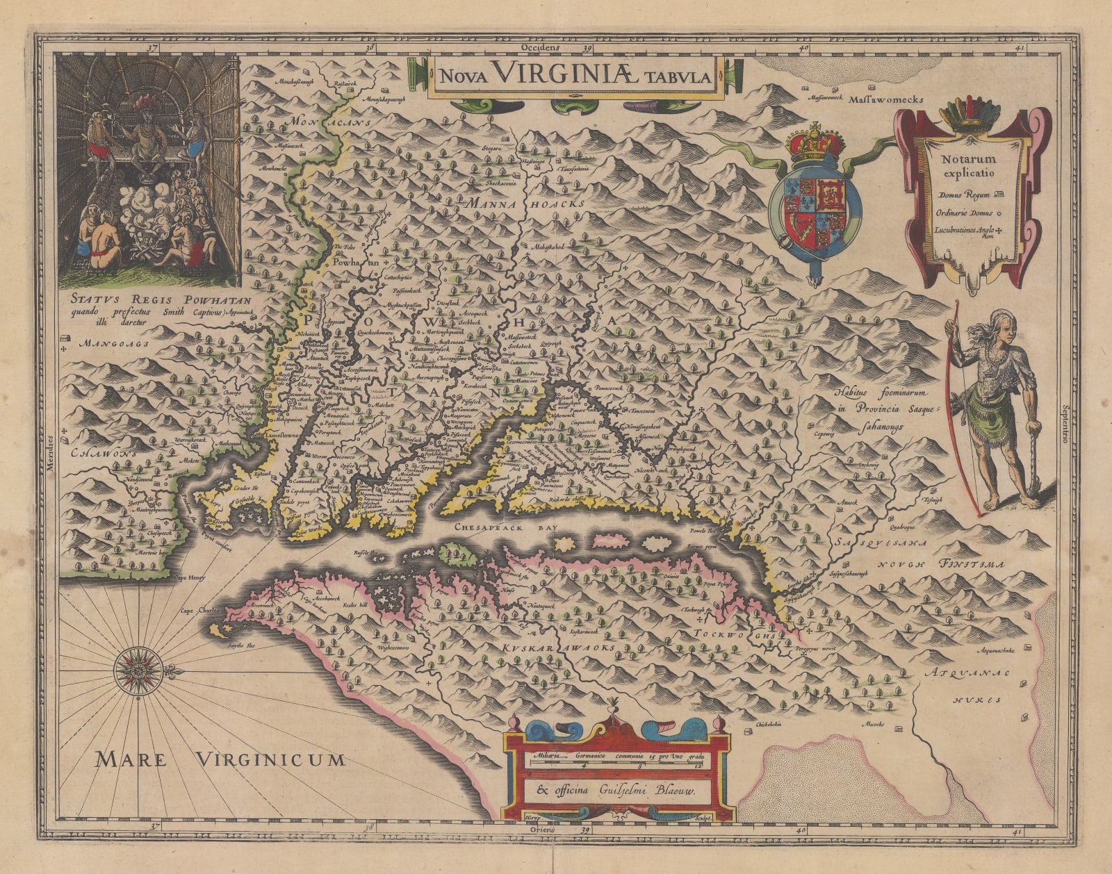
Willem & Jan Blaeu
38 x 48 cm
The map is based on John Smith’s map of the same region first issued in 1612. It is oriented with south to the left of the sheet. The decorative features such as the coat of arms and the image of a native American warrior are taken are also featured on the map by Smith although the title design and the size of the map differs. There is some debate which credits authorship of the survey and mapping of the region to Nathaniel Powell, a member of Smith’s expedition. Ultimately, the map in its source form appeared in Smith’s work describing the new colony of Virginia hence the map is usually attributed to John Smith.
The first issue of this map was published by Jodocus Hondius II in 1618. Only a handful of examples of this issue survive, mainly in institutions or very rarely, in commercial circles. In 1629, after the death of Jodocus, his widow sold the copper plate to Willem Blaeu, who replaced the imprint in the lower centre with his own and issued the same map in 1630. This was closely followed by an issue from Henricus Hondius, Jodocus’s brother, in the same year, ensuring the continued distribution of this extraordinary map. The format remained much the same although the decoration varied. The image of a native American lodge showing Powhatan, father of Pocahontas, is taken from Smith’s original map and persists through the later iterations of the plate. This long publishing history through most of the Dutch Golden Age of Cartography ensured that the colony of Virginia stayed the minds of many aristocrats and merchants.
Of particular note is the placement and nomenclature of multiple native American settlements along the rivers leading inland. Many of these were either omitted or no longer existed when later maps were issued; hence this sequence of names forms a priceless source for scholars of the early settlements of the United States.
French text on reverse. First French edition of 1635. Image of reverse available on request. Original colour. [Burden 193]. [USA9785]


