Willem & Jan Blaeu
40 x 52 cm
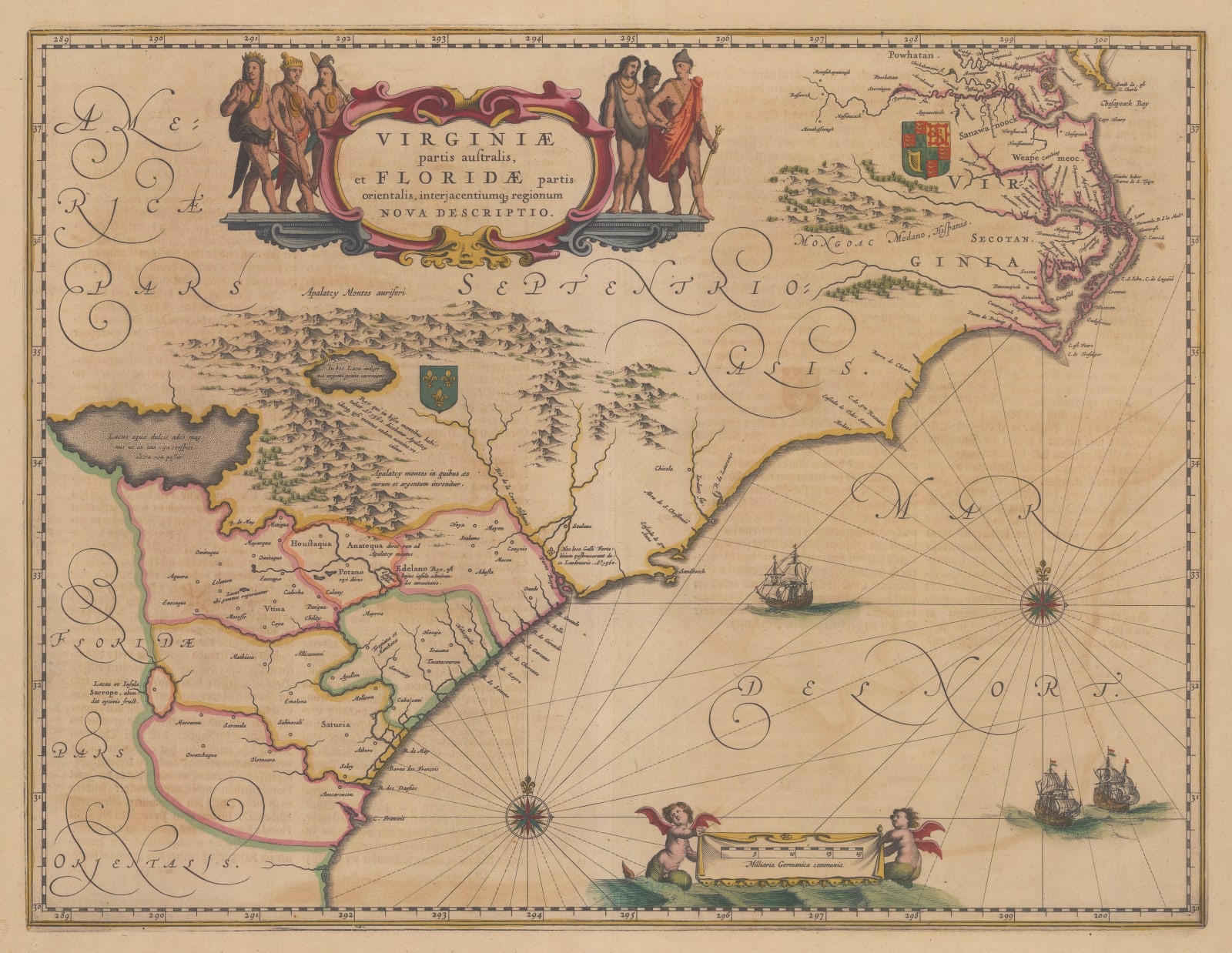
Southern Virginia, North Carolina, South Carolina, and Georgia. Virginia is marked as English territory while the Carolinas are designated as French.
Native villages are marked on the map, as are the French fort at Port Royal (est. 1562) and the English colony at Jamestown (est. 1607). Other than two large lakes and a scattered depiction of the Appalachian mountains, the interior of the country is entirely blank.
A splendid title cartouche flanked by Native Americans fills the upper portion to compensate for the lack of geographical detail. Handsomely-engraved galleons sail off the coast, while two cherub-like sea creatures hold aloft the scale (given in German miles).
German text on verso (image available on request). Original hand-colour. [USA8995]


