-
 Aaron Arrowsmith, Map Exhibiting the Great Post Roads, Physical and Political Divisions of Europe, 1848£ 3,450.00
 -
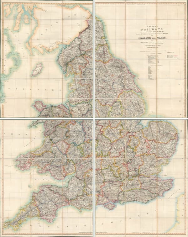
 Aaron Arrowsmith, Map of the Railways Showing the Various Stations with the Hills, Rivers, Canals and Principal Roads of England and Wales, 1845£ 2,450.00
 -
 Aaron Arrowsmith, Map of Central India, including Malwa, and the adjoining provinces, 1823£ 445.00
 -
 Aaron Arrowsmith, Prussia, 1823£ 45.00
 -

-
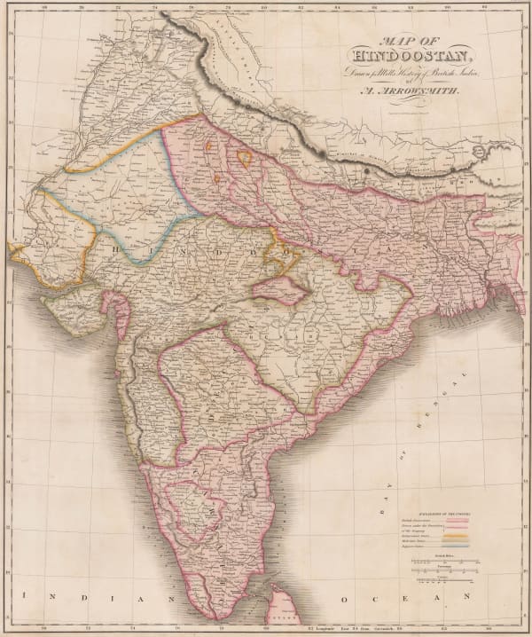
 Aaron Arrowsmith, Map of Hindoostan, Drawn for Mill's History of British India, 1817£ 875.00
 -
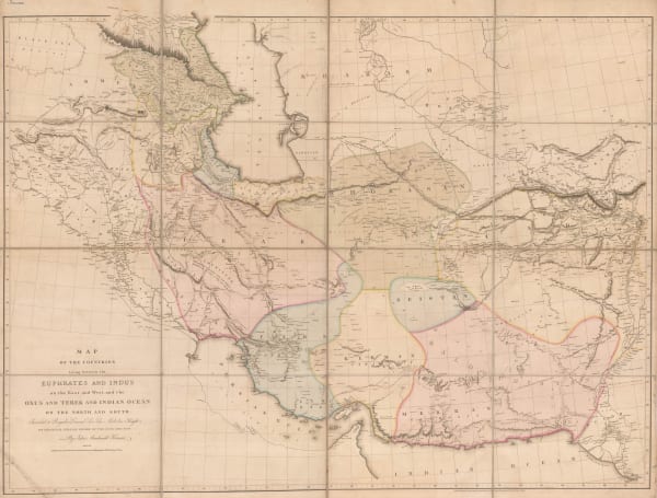
 Aaron Arrowsmith, Monumental wall map of Iran, 1813£ 4,950.00
 -
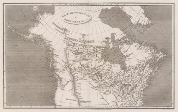
 Aaron Arrowsmith, British Possessions in North America, 1809£ 345.00
 -
 Aaron Arrowsmith, North America, 1809£ 345.00
 -
 Aaron Arrowsmith, South America, 1809£ 98.00
 -
 Aaron Arrowsmith, Arabia, 1808Reserved
 -
 Aaron Arrowsmith, Chart of the East India Islands, 1808£ 375.00
 -
 Aaron Arrowsmith, Africa, 1807£ 95.00
 -
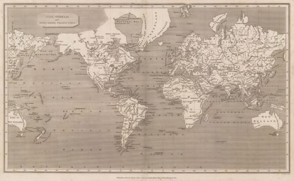
 Aaron Arrowsmith, The World on Mercators Projection, 1807£ 395.00
 -
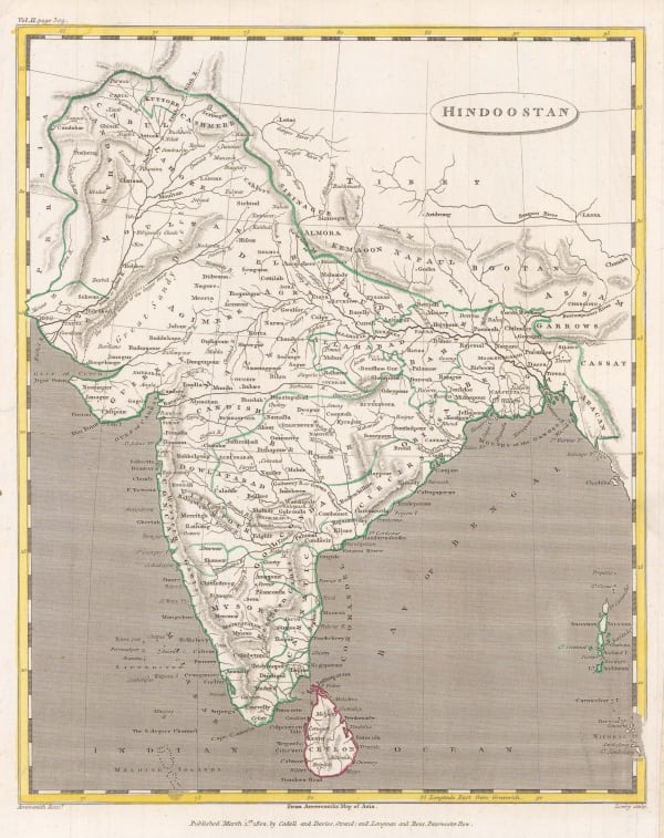
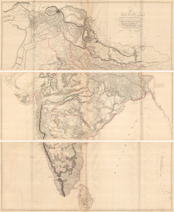
 Aaron Arrowsmith, Hindoostan, 1805£ 125.00
 -
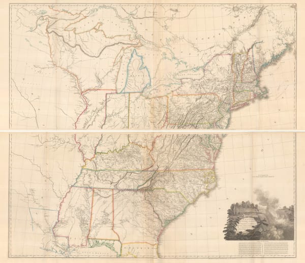
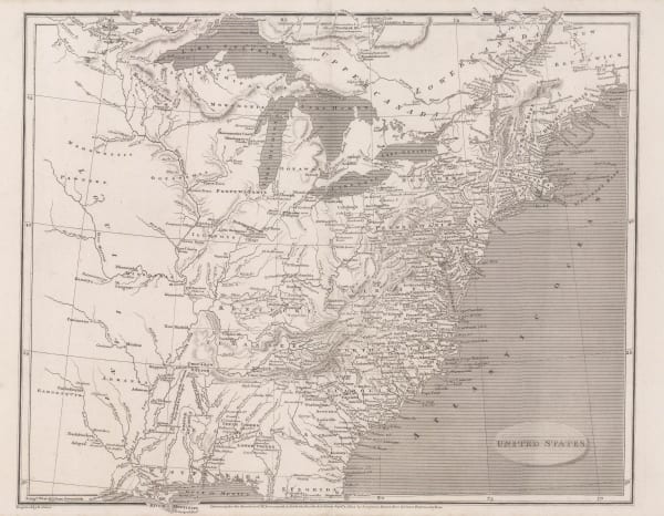
 Aaron Arrowsmith, United States, 1805£ 375.00
 -

-
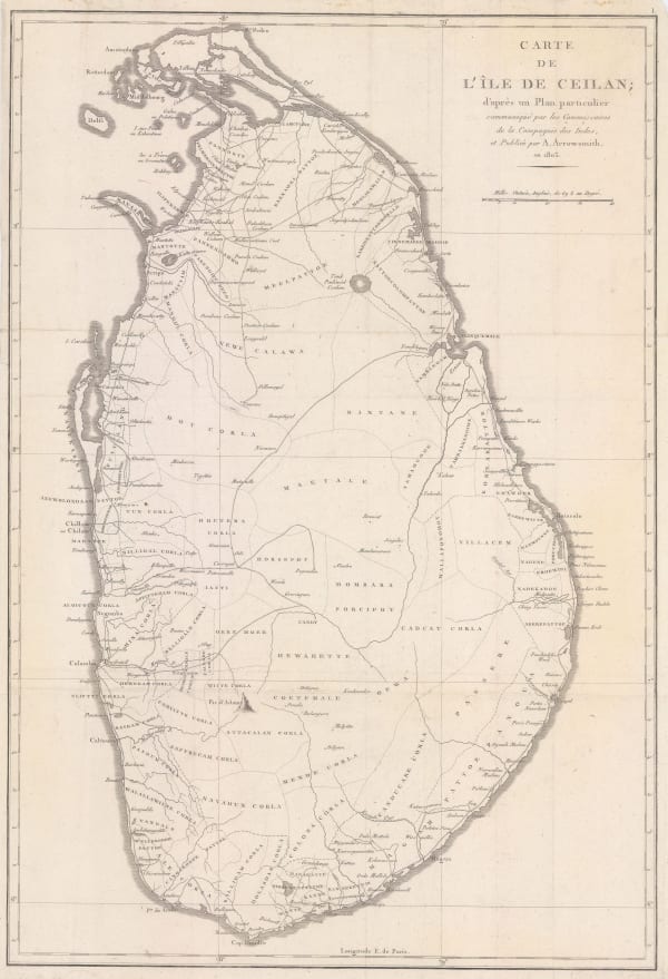
 Aaron Arrowsmith, Rare French derivation of Aaron Arrowsmith's 1803 map of Ceylon (Sri Lanka), 1803 c.£ 775.00
 -

-

-
 Aaron Arrowsmith, The World from the Latest Voyages & Travels, 1802£ 185.00
Close


