Aaron Arrowsmith
52 x 35 cm
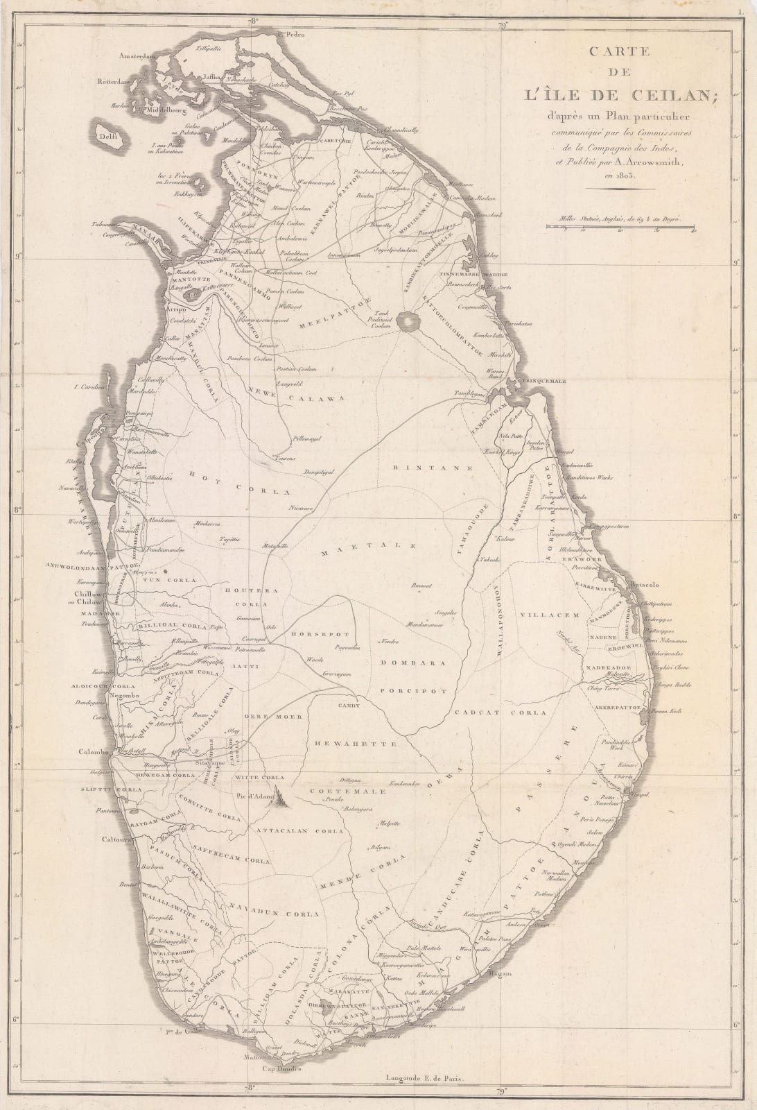
Rare French derivation of Aaron Arrowsmith's 1803 map of Ceylon (Sri Lanka), based on communications from officers of the East India Company. As Arrowsmith's commercially published map of Ceylon actually appeared in 1805, it is possible that this French map was based on an earlier state published only for the East India Company itself.
At the start of the 19th century the interior of Ceylon was still largely unknown to Europeans. The island is subdivided on the map (with some uncertainty) into regions. Major settlements and the roads between them are marked. [IC2644]


