George W. Bacon
Tunbridge Wells, 1920 c.
27 x 30 in
68 x 76 cm
68 x 76 cm
KENT652
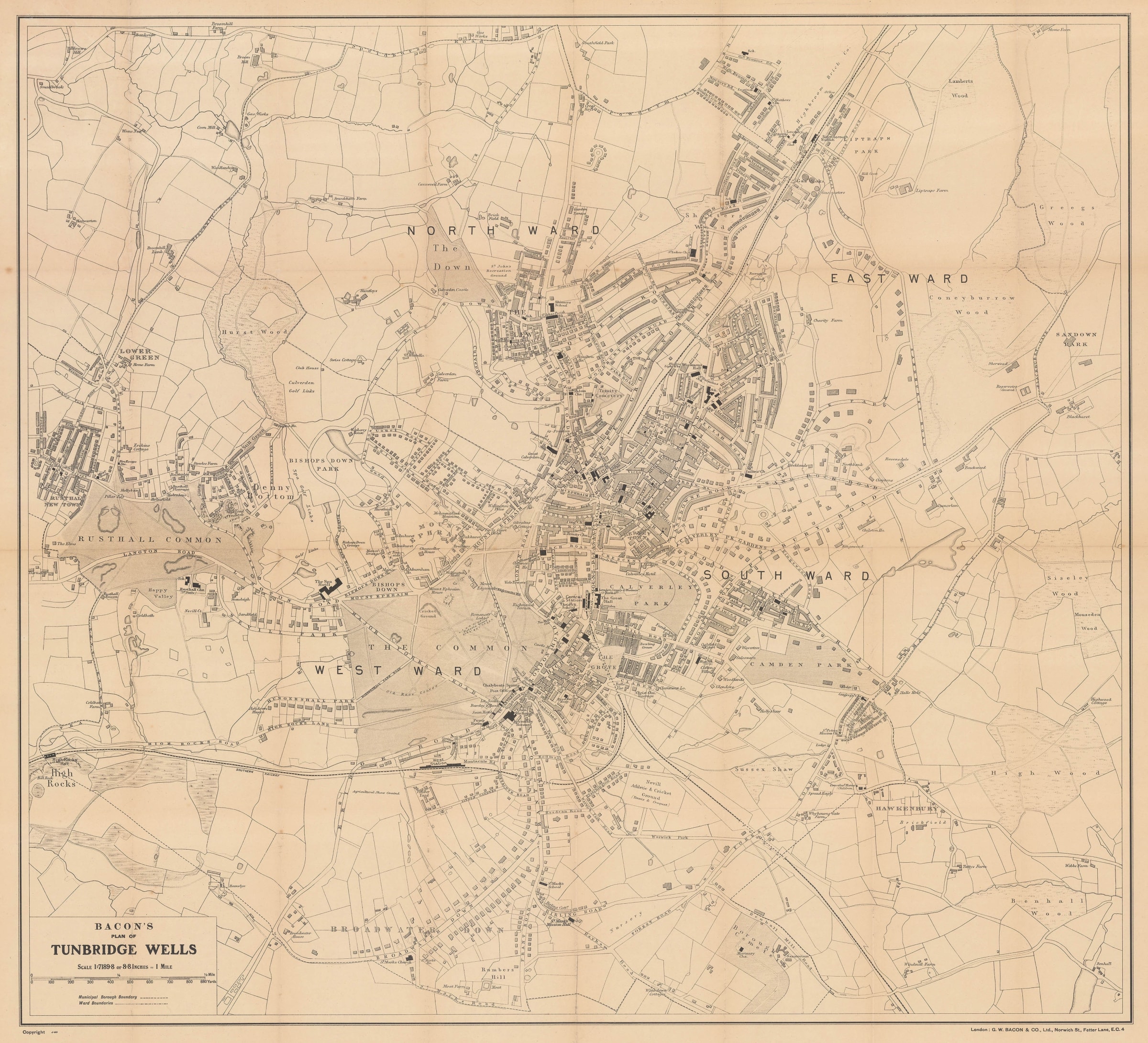
Plan of Tunbridge Wells Separately issued folding vintage city plan of Tunbridge Wells. This city plan was part of a series published by George Washington Bacon in the 1880s....
Plan of Tunbridge Wells
Separately issued folding vintage city plan of Tunbridge Wells. This city plan was part of a series published by George Washington Bacon in the 1880s. Tunbridge Wells had been a popular destination for hundreds of years. It gained the prefix of "Royal" in 1909 as an acknowledgment of its popularity with the royal family from the 17th century. Curiously, the title of this map has not been updated even though the Norwich St. address on the lower right dates it to 1919-22.
It has to be noted that although Bacon's name is still used on the map, the firm had long been owned by the venerable publishing house of W. & A.K Johnston of Edinburgh who continued to use the Bacon imprint for marketing purposes.
SL [KENT652]