John Arrowsmith
62 x 51 cm
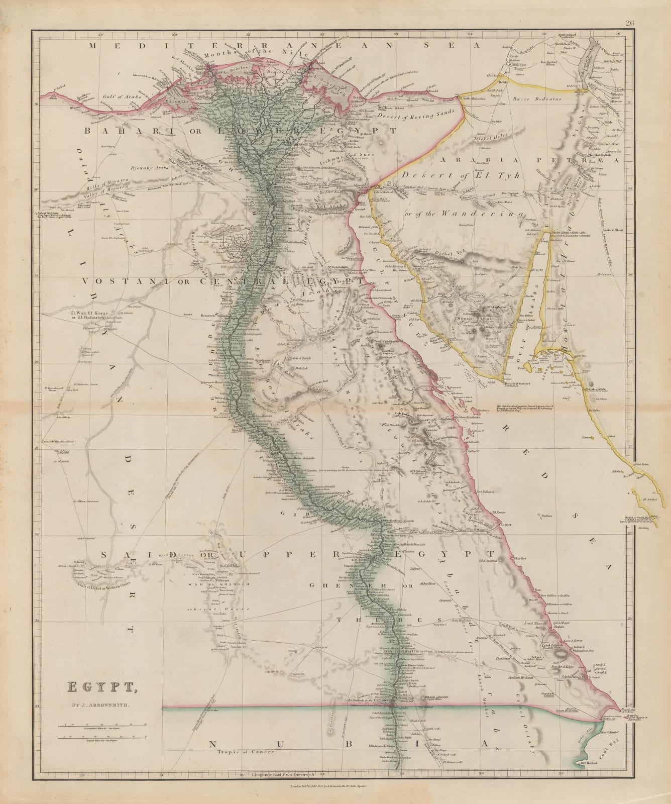
However, in comparison to earlier maps of Egypt, Arrowsmith does provide several important sources for this map, foremost among them being John Gardner Gregory, called “the father of British Egyptology”. He is credited for providing a manuscript map for the detail between Suez and the ancient site of Gheneh on the Nile. This can be identified as the modern city of Qena. Also cited are the explorers, William George Browne, who travelled and lived around Darfur in 1793-96 and the more obscure Irwin, who travelled from Gheneh to Cairo in 1777. There is another reference to a much earlier journey by Charles Jacques Poncet, a French doctor based in Cairo who travelled to Ethiopia in 1698 to treat the Emperor.
The result is a far more detailed map of the country than had been previously issued. Many more caravan routes have been added, including an alternative route across the Red Sea from Kossier to Jeddah and then Mecca. Kossier seems to be the modern city of Marsa Alam and the caravan route on the Arrowsmith map now corresponds to a highway.
A further notable development is the inclusion of several Egyptian desert tribe names, including the “Ababde Arabs” referring to the modern Ababde People, the “Maggrebin Arabs” which is a generic reference to the people living in the Maghreb or North Africa and the “Oulad Aly Arabs” which may be a reference to a location, Ouled Ali Hammam, which is geographically in Algeria but may have been transplanted into Egypt due to incorrect reports. There are several other of these tribal names which cannot be traced to modern references without much deeper research.
Original colour. [AFR6190]


