Pages: 246
ISBN-13: 978-0957149717
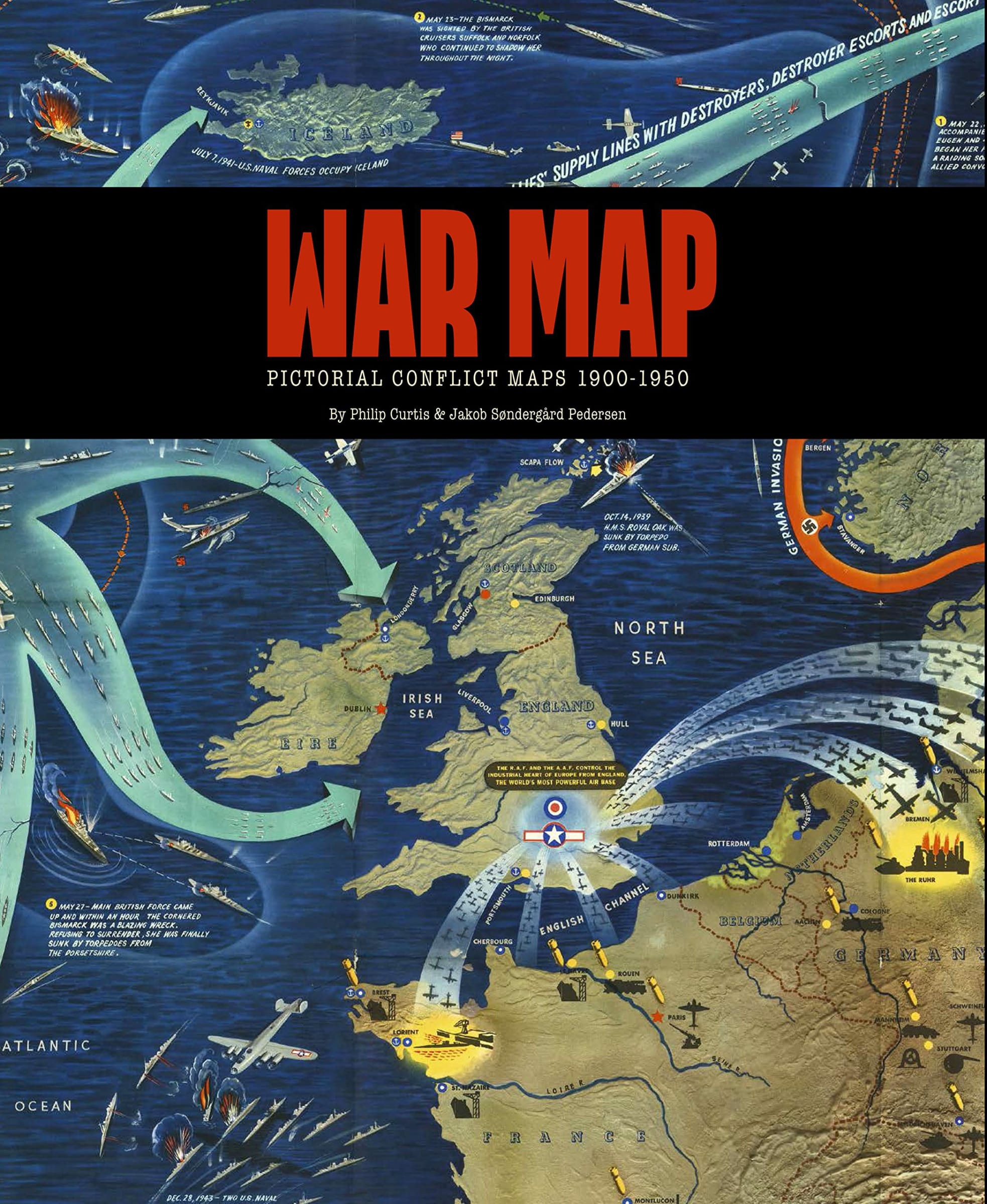
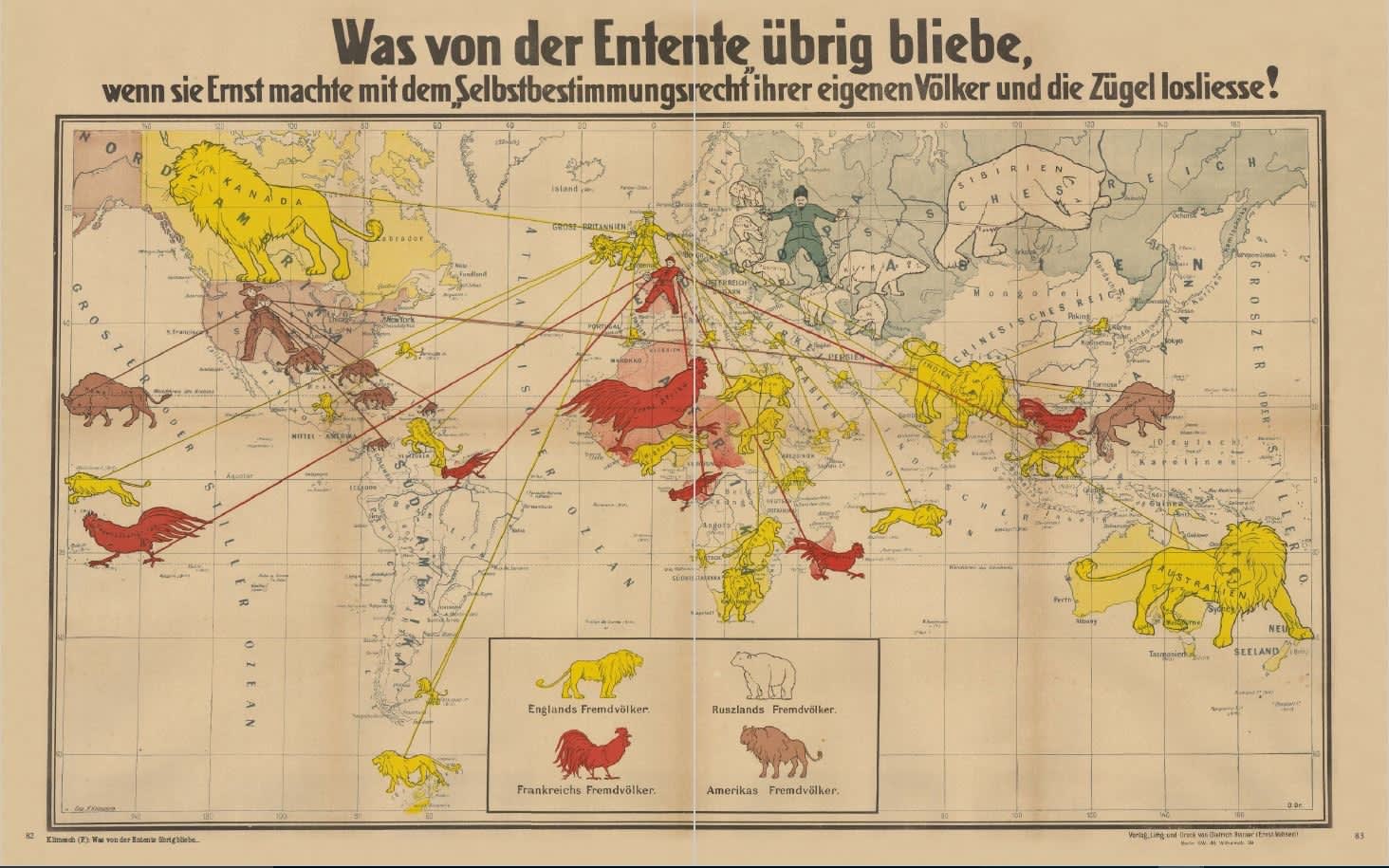
Global conflict in the first half of the 20th century is vividly illuminated in this book, presenting pictorial maps from the Boer War right up to the Korean War. The accompanying text explores the fascinating and often forgotten stories behind these iconic images.
During this period printed propaganda material reached a pinnacle in terms of innovation, importance and direct influence.
Gloriously illustrated, the maps range from the straightforwardly patriotic pieces of the 1900s, through the hate-filled effusions of the Nazis to the hope inspired maps by the likes of Max Gill and Ernest Dudley Chase as World War Two drew to a close.
The immediacy of the images still resonates with us today and captures these pivotal moments of the past. Together they form an extraordinary graphic record and offer a unique look at the art of persuasion and propaganda.
With a foreword by Peter Barber, Head of Map Collections at the British Library, 2001-2015.