West & Southwest London Maps
-
 Sir Joseph Causton & Sons, The Metropolitan Borough of Paddington, 1901£ 950.00
 -
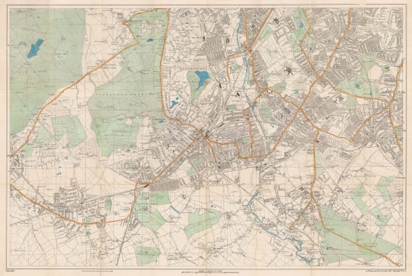
George W. Bacon, Bayswater, Kensington, Paddington, Kilburn & Queens Park, 1902£ 68.00
-
Charles Edward Goad, Battersea Square, 1903£ 250.00
-
Charles Edward Goad, Battersea - Church Rd & Bolingbroke Walk, 1903£ 250.00
-
Edward Stanford, Hampton Wick, Kingston, Norbiton & Petersham, 1905£ 395.00
-
George W. Bacon, Bacon's Large Scale Plan of Richmond, 1907 (c.)£ 395.00
-
George W. Bacon, West & Central London, 1907 (c.)£ 495.00
-
George W. Bacon, Notting Hill, Kensal Green & East Acton, 1909£ 55.00
-
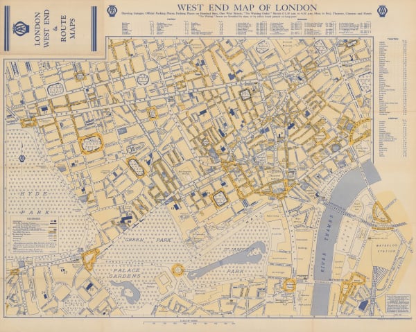
'The Motor' Magazine, Map of the West End of London, 1910£ 495.00
-
George W. Bacon, Norbiton, Surbiton, Hampton Court, Bushy Park, New Malden, 1910 c£ 425.00
-
George W. Bacon, Large Scale Plan of Wimbledon, 1910 c.£ 795.00
-
George Philip, Putney & Wimbledon, 1911£ 48.00
-
George Philip & Son Ltd., Willesden & Kilburn, 1912 c.£ 64.00
-
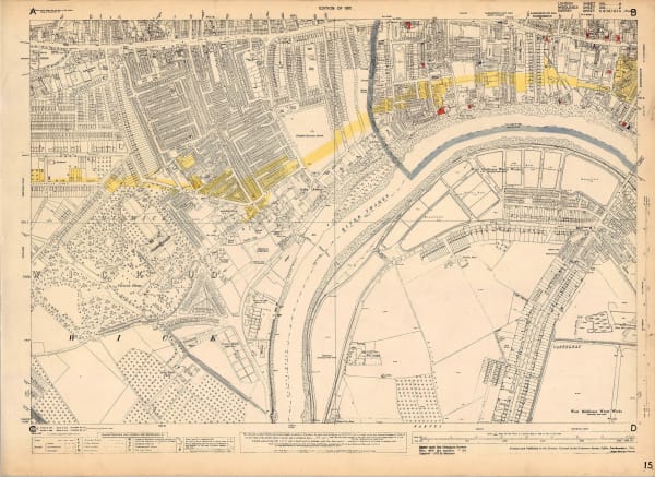
Ordnance Survey, Nine Elms, 1918 c.£ 850.00
-
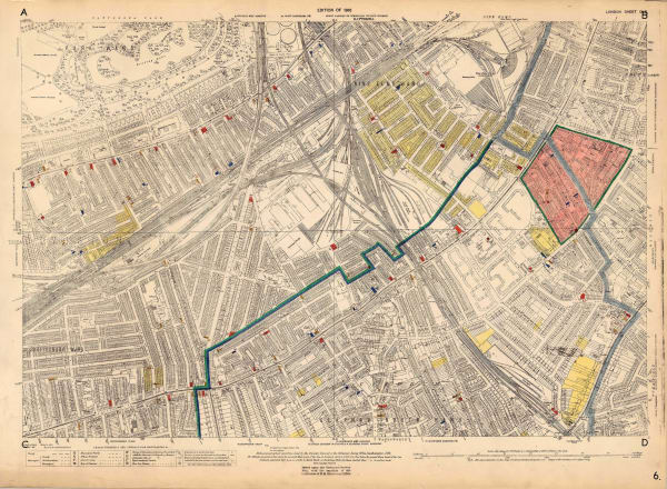
Ordnance Survey, Holland Park to Shepherds Bush, 1919 c.£ 1,350.00
-
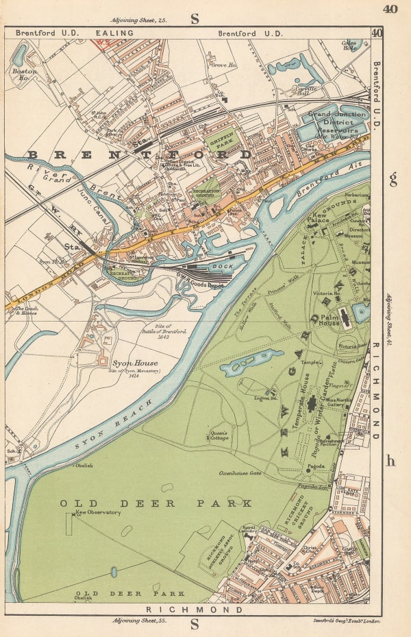
Edward Stanford, Brentford & Kew Gardens, 1920£ 42.00
-
George W. Bacon, Richmond Park & Putney Heath, 1920 c.£ 36.00
-
Kennedy North, British Empire Exhibition 1924, 1923£ 650.00
-
Ordnance Survey, Barnes, 1925 c.£ 1,450.00
-
Ordnance Survey, Richmond Park, 1926£ 495.00
-
Railway Clearing House, Railway Map of NW London, 1928£ 75.00
-
G. & J. Bartholomew, Kew, Richmond and Hampton Court, 1929£ 62.00
-
G. & J. Bartholomew, Wimbledon, Streatham and Sydenham, 1929£ 44.00
-
Ordnance Survey, Pimlico, 1929 c.£ 1,350.00
-
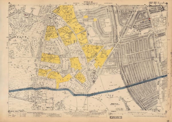
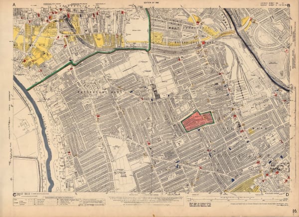
Charles Booth, Descriptive Map of London Social Conditions (1929-1930), 1930£ 1,950.00
-
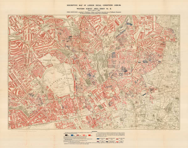
Charles Booth, Descriptive Map of London Social Conditions (1929-1930), 1930£ 1,550.00
-
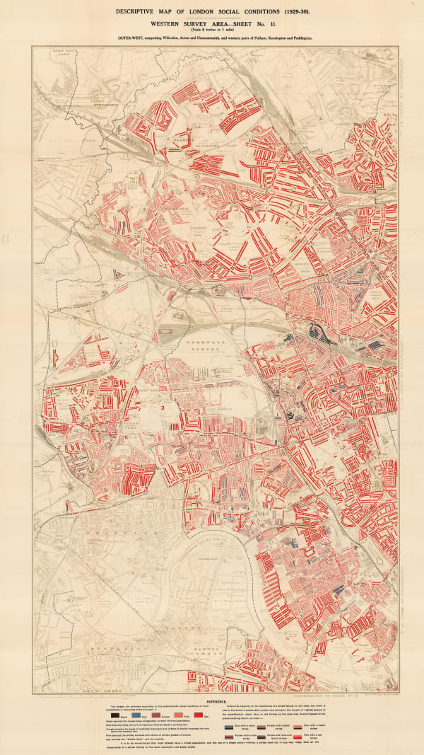
Charles Booth, Descriptive Map of London Social Conditions (1929-1930), 1930£ 2,500.00
-
George W. Bacon, South London & Suburbs, 1930 c.£ 650.00
-
-
Ordnance Survey, Southfields & Wimbledon, 1933 c.£ 745.00
-
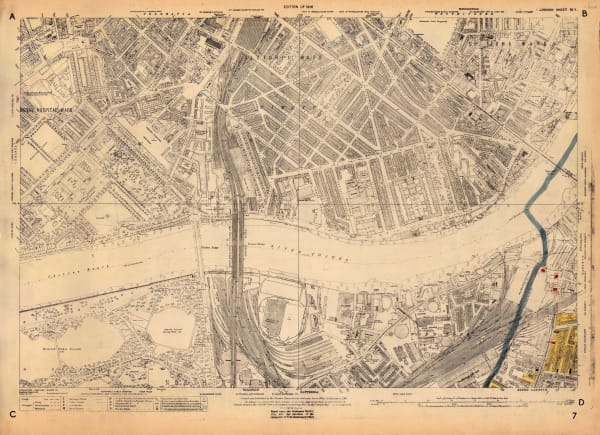
Ordnance Survey, Fulham, 1935 c.£ 1,250.00
-
Ordnance Survey, Knightsbridge and Kensington, 1936£ 1,550.00
-
Ordnance Survey, Battersea, 1936 c.£ 1,450.00
-
Ordnance Survey, Bayswater, 1936 c.£ 1,450.00
-
Ordnance Survey, Chiswick, 1936 c.£ 695.00
-
Ordnance Survey, Fulham, 1936 c.£ 1,350.00
-
George W. Bacon, Map of the Royal Borough of Kensington, 1941£ 645.00
-
Charles Edward Goad, Battersea Bridge, Hester & Parkgate Roads, 1946£ 250.00
-
Charles Edward Goad, Battersea - Albert Bridge Rd, 1946£ 250.00
-
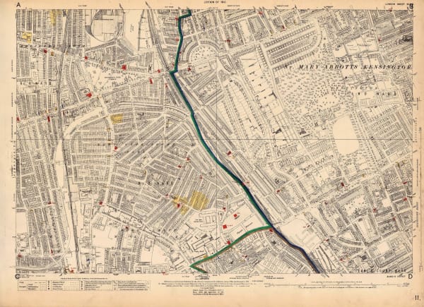
Ordnance Survey, Holland Park and Notting Hill, 1948 c.£ 1,450.00
-
S. J. Bedwell, Acton, 1950 c£ 125.00
-
Automobile Association (AA), West End Map of London, 1950 c.£ 325.00
-
C.J. Cousland & Sons, The West End - London's Theatreland, 1952 c.£ 1,250.00
-
G. W. May Ltd., Borough of Battersea, 1958 c.£ 245.00
-
Charles Edward Goad, Battersea Square, 1959£ 250.00
-
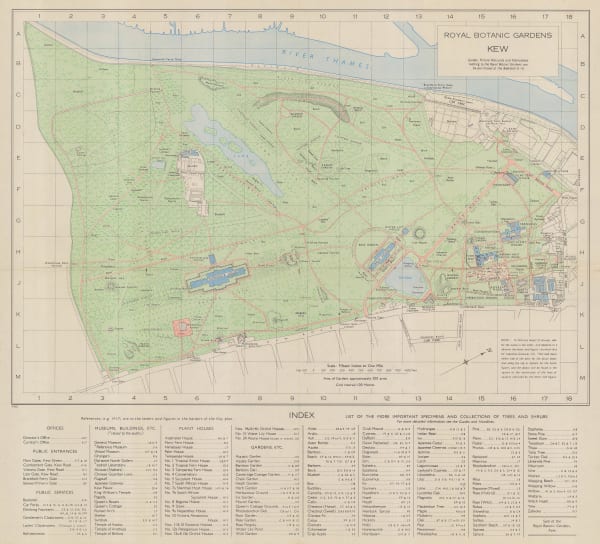
Ordnance Survey, Royal Botanic Gardens Kew, 1963£ 150.00


Page
2
of 2